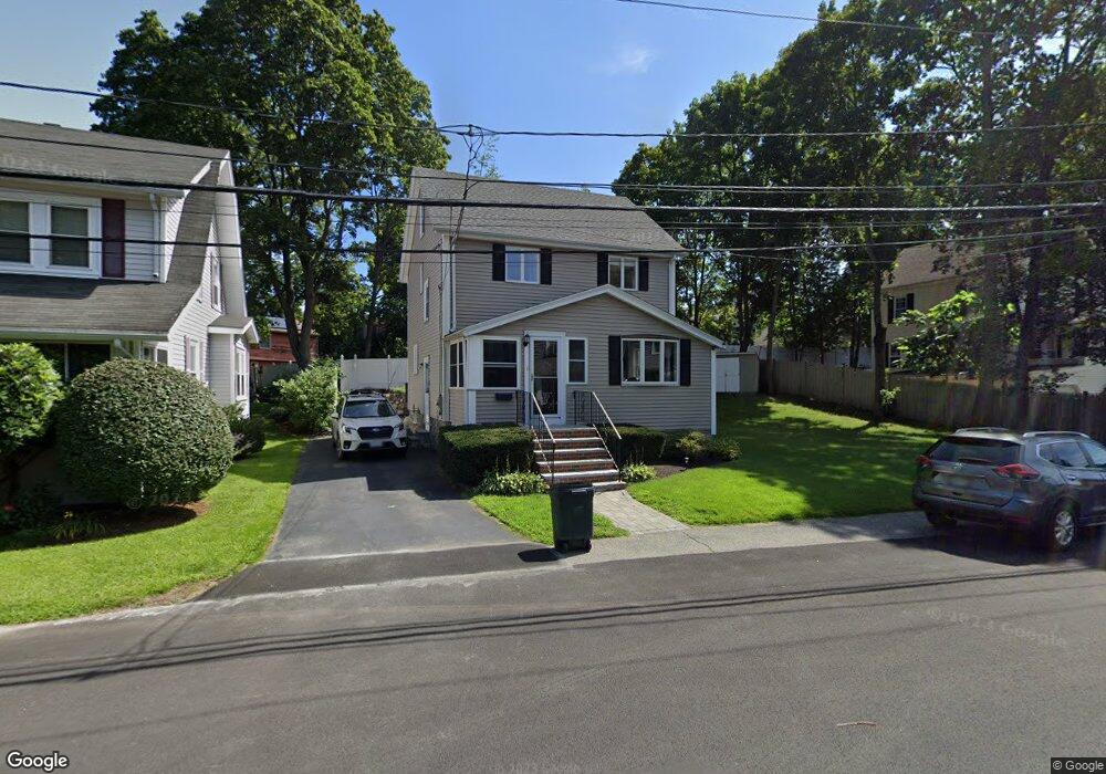
29 Ellis St Woburn, MA 01801
Downtown Woburn NeighborhoodEstimated Value: $664,000 - $756,000
2
Beds
2
Baths
1,481
Sq Ft
$475/Sq Ft
Est. Value
About This Home
This home is located at 29 Ellis St, Woburn, MA 01801 and is currently estimated at $702,973, approximately $474 per square foot. 29 Ellis St is a home located in Middlesex County with nearby schools including Hurld Elementary School, Daniel L. Joyce Middle School, and Woburn High School.
Ownership History
Date
Name
Owned For
Owner Type
Purchase Details
Closed on
Jan 9, 2013
Sold by
King Marie A
Bought by
King Marie A
Current Estimated Value
Home Financials for this Owner
Home Financials are based on the most recent Mortgage that was taken out on this home.
Original Mortgage
$189,750
Outstanding Balance
$19,524
Interest Rate
3.36%
Mortgage Type
New Conventional
Estimated Equity
$683,449
Purchase Details
Closed on
Mar 30, 1998
Sold by
Finstein Mark D and Finstein Sheila M
Bought by
Devereaux Jason L and King Marie A
Purchase Details
Closed on
Jun 9, 1994
Sold by
Timperley Robert H and Timperley Regina E
Bought by
Boyajian Sheila M and Finstein Mark D
Purchase Details
Closed on
Jan 20, 1989
Sold by
Lanza Salvatore A
Bought by
Timperley Robert H
Create a Home Valuation Report for This Property
The Home Valuation Report is an in-depth analysis detailing your home's value as well as a comparison with similar homes in the area
Home Values in the Area
Average Home Value in this Area
Purchase History
| Date | Buyer | Sale Price | Title Company |
|---|---|---|---|
| King Marie A | -- | -- | |
| King Marie A | -- | -- | |
| Devereaux Jason L | $189,000 | -- | |
| Boyajian Sheila M | $169,000 | -- | |
| Timperley Robert H | $167,450 | -- |
Source: Public Records
Mortgage History
| Date | Status | Borrower | Loan Amount |
|---|---|---|---|
| Open | Timperley Robert H | $189,750 | |
| Closed | Timperley Robert H | $189,750 |
Source: Public Records
Tax History Compared to Growth
Tax History
| Year | Tax Paid | Tax Assessment Tax Assessment Total Assessment is a certain percentage of the fair market value that is determined by local assessors to be the total taxable value of land and additions on the property. | Land | Improvement |
|---|---|---|---|---|
| 2025 | $4,933 | $577,600 | $301,600 | $276,000 |
| 2024 | $4,386 | $544,200 | $287,300 | $256,900 |
| 2023 | $4,407 | $506,600 | $261,100 | $245,500 |
| 2022 | $4,224 | $452,200 | $227,100 | $225,100 |
| 2021 | $3,880 | $415,900 | $216,200 | $199,700 |
| 2020 | $3,864 | $414,600 | $216,200 | $198,400 |
| 2019 | $9,032 | $397,800 | $205,900 | $191,900 |
| 2018 | $3,561 | $360,100 | $189,000 | $171,100 |
| 2017 | $3,378 | $339,800 | $180,000 | $159,800 |
| 2016 | $3,219 | $320,300 | $168,200 | $152,100 |
| 2015 | $3,095 | $304,300 | $157,200 | $147,100 |
| 2014 | $3,017 | $289,000 | $157,200 | $131,800 |
Source: Public Records
Map
Nearby Homes
- 18 Beacon St Unit 18
- 52 Pleasant St
- 31 Arlington Rd Unit 1-6
- 27 Arlington Rd Unit 1-6
- 29 Arlington Rd Unit 4
- 26 Flagg St
- 15 Sturgis St
- 11 Hovey St
- 21 Franklin St
- 17 Wright St
- 7 Prospect St
- 477 Main St
- 37 1/2 Chestnut St
- 7 Locust St
- 35 Prospect St Unit 215
- 35 Prospect St Unit 204
- 34 Union St
- 14 Church Ave
- 14 Church Ave Unit 2
- 18 Church St Unit 2