29 Elm St Coatesville, PA 19320
Valley NeighborhoodEstimated Value: $190,909 - $257,000
3
Beds
1
Bath
1,440
Sq Ft
$148/Sq Ft
Est. Value
About This Home
This home is located at 29 Elm St, Coatesville, PA 19320 and is currently estimated at $212,477, approximately $147 per square foot. 29 Elm St is a home located in Chester County with nearby schools including Coatesville Intermediate High School, Coatesville Area Senior High School, and Valley Christian School.
Ownership History
Date
Name
Owned For
Owner Type
Purchase Details
Closed on
Nov 20, 2002
Sold by
Neff Wessley D and Neff Jacqueline F
Bought by
Neff Wessley D
Current Estimated Value
Home Financials for this Owner
Home Financials are based on the most recent Mortgage that was taken out on this home.
Original Mortgage
$73,000
Interest Rate
6.34%
Purchase Details
Closed on
Nov 20, 1996
Sold by
Mowday Joseph M
Bought by
Neff Wessley D and Neff Jacqueline F
Home Financials for this Owner
Home Financials are based on the most recent Mortgage that was taken out on this home.
Original Mortgage
$28,000
Interest Rate
7.82%
Purchase Details
Closed on
Jul 29, 1996
Sold by
Seymour Ethel E and Wetzler Warren
Bought by
Mowday Joseph M
Home Financials for this Owner
Home Financials are based on the most recent Mortgage that was taken out on this home.
Original Mortgage
$25,000
Interest Rate
8.08%
Create a Home Valuation Report for This Property
The Home Valuation Report is an in-depth analysis detailing your home's value as well as a comparison with similar homes in the area
Home Values in the Area
Average Home Value in this Area
Purchase History
| Date | Buyer | Sale Price | Title Company |
|---|---|---|---|
| Neff Wessley D | -- | Security Search & Abstract C | |
| Neff Wessley D | $35,000 | -- | |
| Mowday Joseph M | $25,000 | -- |
Source: Public Records
Mortgage History
| Date | Status | Borrower | Loan Amount |
|---|---|---|---|
| Closed | Neff Wessley D | $73,000 | |
| Closed | Neff Wessley D | $28,000 | |
| Previous Owner | Mowday Joseph M | $25,000 |
Source: Public Records
Tax History Compared to Growth
Tax History
| Year | Tax Paid | Tax Assessment Tax Assessment Total Assessment is a certain percentage of the fair market value that is determined by local assessors to be the total taxable value of land and additions on the property. | Land | Improvement |
|---|---|---|---|---|
| 2025 | $2,522 | $49,570 | $22,750 | $26,820 |
| 2024 | $2,522 | $49,570 | $22,750 | $26,820 |
| 2023 | $2,457 | $49,570 | $22,750 | $26,820 |
| 2022 | $2,381 | $49,570 | $22,750 | $26,820 |
| 2021 | $2,308 | $49,570 | $22,750 | $26,820 |
| 2020 | $2,286 | $49,570 | $22,750 | $26,820 |
| 2019 | $2,202 | $49,570 | $22,750 | $26,820 |
| 2018 | $2,111 | $49,570 | $22,750 | $26,820 |
| 2017 | $1,974 | $49,570 | $22,750 | $26,820 |
| 2016 | $1,410 | $49,570 | $22,750 | $26,820 |
| 2015 | $1,410 | $49,570 | $22,750 | $26,820 |
| 2014 | $1,410 | $49,570 | $22,750 | $26,820 |
Source: Public Records
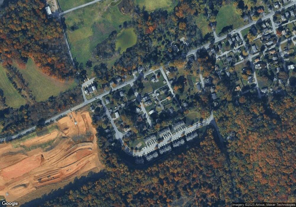
Map
Nearby Homes
- Columbia Plan at Westwood Ridge
- Lehigh Plan at Westwood Ridge
- Allegheny Plan at Westwood Ridge
- 10 Cynthia Rd Unit 101
- 3050 Strasburg Rd
- 96 S Park Ave
- 924 Lafayette
- 380 Hamilton Ln
- 308 Flagstone Cir
- 0 Ross Ln
- 12 Wagner Ln
- 5 Denbigh Ln
- 128 Larose Dr Unit 1F
- 30 Tuxford Ln Unit 30
- 389 Larose Dr Unit 389
- 8 Penney Ln
- 233 Sloan Dr
- 787 W Main St
- 17 Glouster Ct
- 15 Abbey Rd