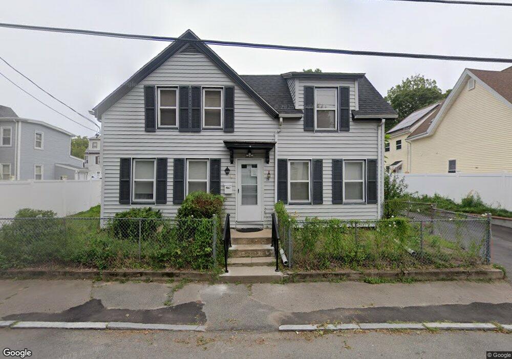
29 Emmet St Unit 1 Brockton, MA 02302
Estimated Value: $408,000 - $465,179
--
Bed
1
Bath
100
Sq Ft
$4,328/Sq Ft
Est. Value
About This Home
This home is located at 29 Emmet St Unit 1, Brockton, MA 02302 and is currently estimated at $432,795, approximately $4,327 per square foot. 29 Emmet St Unit 1 is a home located in Plymouth County with nearby schools including Brookfield Elementary School, Downey Elementary School, and Ashfield Middle School.
Ownership History
Date
Name
Owned For
Owner Type
Purchase Details
Closed on
Feb 22, 2020
Sold by
Albert Daryl
Bought by
Sampson Hillie and Sampson Diana
Current Estimated Value
Home Financials for this Owner
Home Financials are based on the most recent Mortgage that was taken out on this home.
Original Mortgage
$184,801
Interest Rate
3.1%
Mortgage Type
FHA
Purchase Details
Closed on
Mar 17, 2015
Sold by
Fernandes Mike
Bought by
Albert Daryl
Purchase Details
Closed on
Mar 26, 2014
Sold by
White Mildred L Est
Bought by
Fernandes Mike
Create a Home Valuation Report for This Property
The Home Valuation Report is an in-depth analysis detailing your home's value as well as a comparison with similar homes in the area
Home Values in the Area
Average Home Value in this Area
Purchase History
| Date | Buyer | Sale Price | Title Company |
|---|---|---|---|
| Sampson Hillie | $255,000 | None Available | |
| Sampson Hillie | $255,000 | None Available | |
| Albert Daryl | $175,000 | -- | |
| Albert Daryl | $175,000 | -- | |
| Fernandes Mike | $122,500 | -- | |
| Fernandes Mike | $122,500 | -- |
Source: Public Records
Mortgage History
| Date | Status | Borrower | Loan Amount |
|---|---|---|---|
| Previous Owner | Sampson Hillie | $184,801 |
Source: Public Records
Tax History Compared to Growth
Tax History
| Year | Tax Paid | Tax Assessment Tax Assessment Total Assessment is a certain percentage of the fair market value that is determined by local assessors to be the total taxable value of land and additions on the property. | Land | Improvement |
|---|---|---|---|---|
| 2025 | $4,287 | $354,000 | $140,200 | $213,800 |
| 2024 | $4,226 | $351,600 | $140,200 | $211,400 |
| 2023 | $3,955 | $304,700 | $104,800 | $199,900 |
| 2022 | $3,621 | $259,200 | $95,300 | $163,900 |
| 2021 | $3,373 | $232,600 | $79,200 | $153,400 |
| 2020 | $3,045 | $201,000 | $74,100 | $126,900 |
| 2019 | $3,040 | $195,600 | $72,300 | $123,300 |
| 2018 | $2,755 | $192,300 | $72,300 | $120,000 |
| 2017 | $2,755 | $171,100 | $72,300 | $98,800 |
| 2016 | $2,535 | $146,000 | $70,100 | $75,900 |
| 2015 | $2,292 | $126,300 | $70,100 | $56,200 |
| 2014 | $2,203 | $121,500 | $70,100 | $51,400 |
Source: Public Records
Map
Nearby Homes
- 24 E Ashland St
- 0 Prospect St
- 12 Charles St
- 47 Taber Ave
- 35 Huntington St
- 18 N Manchester St
- 39 Huntington St
- 560 N Montello St
- 230 Court St
- 37 Hunt St
- 69 Beacon Park
- 58 Hunt St
- 60 Hunt St
- 13 Standish St
- 341 E Ashland St
- 147 Centre St Unit 603
- 18 Walnut St
- 271 Ames St
- 47 John Berman Dr
- 107 Division St