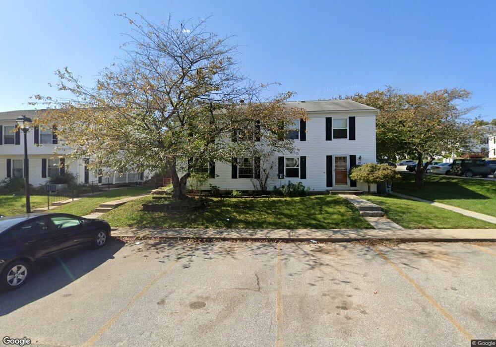
29 Ewing Dr Reisterstown, MD 21136
Estimated Value: $179,000 - $198,000
--
Bed
2
Baths
968
Sq Ft
$197/Sq Ft
Est. Value
About This Home
This home is located at 29 Ewing Dr, Reisterstown, MD 21136 and is currently estimated at $190,762, approximately $197 per square foot. 29 Ewing Dr is a home located in Baltimore County with nearby schools including Timber Grove Elementary, Franklin Middle, and Franklin High.
Ownership History
Date
Name
Owned For
Owner Type
Purchase Details
Closed on
Jun 17, 2004
Sold by
Schene Kevin L
Bought by
Stonesifer Denise K
Current Estimated Value
Purchase Details
Closed on
May 5, 1994
Sold by
Becker Pamela J
Bought by
Schene Kevin L
Home Financials for this Owner
Home Financials are based on the most recent Mortgage that was taken out on this home.
Original Mortgage
$67,400
Interest Rate
7.7%
Mortgage Type
Purchase Money Mortgage
Purchase Details
Closed on
Sep 25, 1990
Sold by
Hadden Greg E
Bought by
Becker Pamela Jane
Create a Home Valuation Report for This Property
The Home Valuation Report is an in-depth analysis detailing your home's value as well as a comparison with similar homes in the area
Home Values in the Area
Average Home Value in this Area
Purchase History
| Date | Buyer | Sale Price | Title Company |
|---|---|---|---|
| Stonesifer Denise K | $93,000 | -- | |
| Stonesifer Denise K | $93,000 | -- | |
| Schene Kevin L | $67,700 | -- | |
| Becker Pamela Jane | $71,000 | -- |
Source: Public Records
Mortgage History
| Date | Status | Borrower | Loan Amount |
|---|---|---|---|
| Previous Owner | Schene Kevin L | $67,400 |
Source: Public Records
Tax History Compared to Growth
Tax History
| Year | Tax Paid | Tax Assessment Tax Assessment Total Assessment is a certain percentage of the fair market value that is determined by local assessors to be the total taxable value of land and additions on the property. | Land | Improvement |
|---|---|---|---|---|
| 2025 | $2,203 | $127,633 | -- | -- |
| 2024 | $2,203 | $111,600 | $37,400 | $74,200 |
| 2023 | $1,060 | $107,300 | $0 | $0 |
| 2022 | $1,160 | $103,000 | $0 | $0 |
| 2021 | $1,791 | $98,700 | $37,400 | $61,300 |
| 2020 | $1,155 | $95,267 | $0 | $0 |
| 2019 | $1,113 | $91,833 | $0 | $0 |
| 2018 | $1,769 | $88,400 | $37,400 | $51,000 |
| 2017 | $1,618 | $87,167 | $0 | $0 |
| 2016 | $1,446 | $85,933 | $0 | $0 |
| 2015 | $1,446 | $84,700 | $0 | $0 |
| 2014 | $1,446 | $84,700 | $0 | $0 |
Source: Public Records
Map
Nearby Homes
- 82 Ewing Dr
- 60 Ewing Dr
- 22 Fox Run Ct
- 125 Hammershire Rd
- 26 Mission Wood Way
- 237 Candytuft Rd
- 318 Bryanstone Rd
- 331 Bryanstone Rd
- 9 Cherry Manor Ct
- 203 Cork Ln Unit T4
- 118 Mardan Dr
- 208 Parkholme Cir
- 202 Embleton Rd
- 18 Austin Rd
- 105 Fitz Ct Unit 202
- 101 Fitz Ct Unit 202
- 105 Fitz Ct Unit 101
- 301 Kearney Dr
- 604 Academy Ave
- 610 Academy Ave