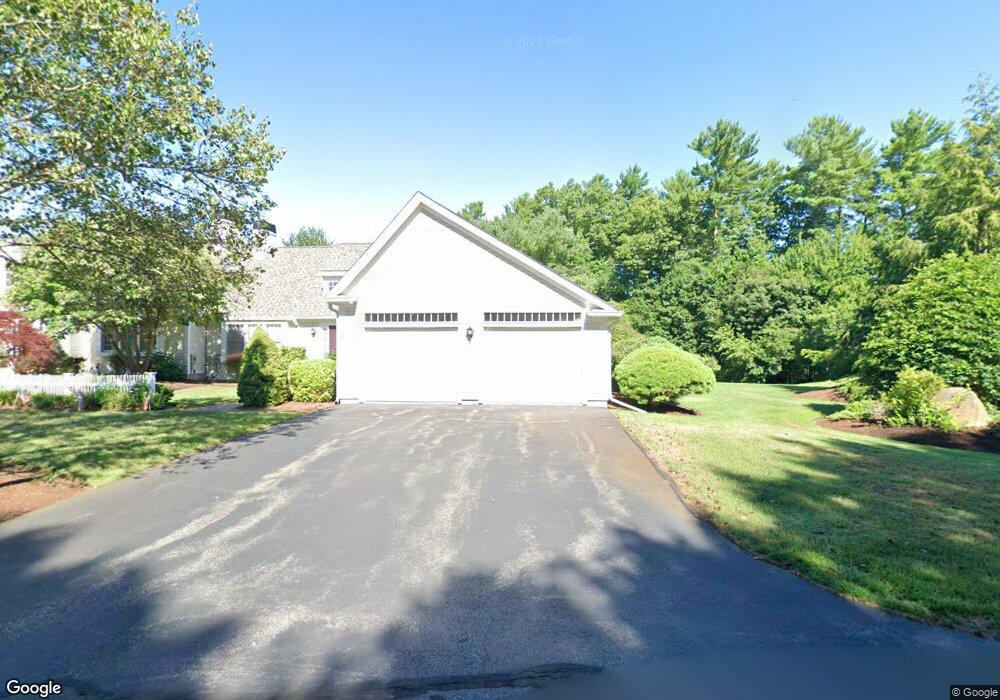
29 Fieldstone Dr Pembroke, MA 02359
Estimated Value: $682,000 - $828,000
--
Bed
3
Baths
2,076
Sq Ft
$355/Sq Ft
Est. Value
About This Home
This home is located at 29 Fieldstone Dr, Pembroke, MA 02359 and is currently estimated at $736,327, approximately $354 per square foot. 29 Fieldstone Dr is a home located in Plymouth County with nearby schools including Pembroke High School, Cadence Academy Preschool - Hanover, and Cardinal Cushing Centers.
Ownership History
Date
Name
Owned For
Owner Type
Purchase Details
Closed on
Jan 24, 2023
Sold by
Deminico Nicolas F and Deminico Maria A
Bought by
Deminico Ft
Current Estimated Value
Purchase Details
Closed on
Aug 7, 1998
Sold by
North Triangle Rt and Sealund Roger A
Bought by
Deminico Nicholas F and Deminico Maria A
Create a Home Valuation Report for This Property
The Home Valuation Report is an in-depth analysis detailing your home's value as well as a comparison with similar homes in the area
Home Values in the Area
Average Home Value in this Area
Purchase History
| Date | Buyer | Sale Price | Title Company |
|---|---|---|---|
| Deminico Ft | -- | None Available | |
| Deminico Nicholas F | $232,274 | -- |
Source: Public Records
Mortgage History
| Date | Status | Borrower | Loan Amount |
|---|---|---|---|
| Previous Owner | Deminico Nicholas F | $133,000 | |
| Previous Owner | Deminico Nicholas F | $202,000 | |
| Previous Owner | Deminico Nicholas F | $207,000 |
Source: Public Records
Tax History Compared to Growth
Tax History
| Year | Tax Paid | Tax Assessment Tax Assessment Total Assessment is a certain percentage of the fair market value that is determined by local assessors to be the total taxable value of land and additions on the property. | Land | Improvement |
|---|---|---|---|---|
| 2025 | $7,666 | $637,800 | $0 | $637,800 |
| 2024 | $7,643 | $635,300 | $0 | $635,300 |
| 2023 | $7,655 | $601,800 | $0 | $601,800 |
| 2022 | $7,614 | $538,100 | $0 | $538,100 |
| 2021 | $7,513 | $515,300 | $0 | $515,300 |
| 2020 | $7,374 | $508,900 | $0 | $508,900 |
| 2019 | $7,211 | $493,900 | $0 | $493,900 |
| 2018 | $7,369 | $494,900 | $0 | $494,900 |
| 2017 | $7,237 | $479,300 | $0 | $479,300 |
| 2016 | $6,876 | $450,600 | $0 | $450,600 |
| 2015 | $6,542 | $443,800 | $0 | $443,800 |
Source: Public Records
Map
Nearby Homes
- 33 Barker Square Dr Unit 33
- 100 Fairwood Dr
- 599 Washington St Unit 14
- 40 Brisan Way
- 261 Washington St
- 30 Old Washington St Unit 9
- 330 Pleasant St
- 99 Old Washington St
- 172 Washington St
- 77 Old Cart Path Ln Unit Lot 4
- 78 Old Cart Path Ln Unit Lot 3
- 72 Old Cart Path Ln Unit Lot 2
- 290 High St
- 218 Schoosett St
- 204 Center St Unit 9
- 55 Shipyard Ln
- 29 Liberty Dr Unit 29
- 53 Grove St
- 10 Warren Terrace
- 285 W Elm St
- 25 Fieldstone Dr
- 33 Fieldstone Dr
- 37 Fieldstone Dr
- 11 Trellis Cir Unit 26
- 11 Trellis Cir
- 10 Trellis Cir
- 32 Fieldstone Dr
- 475 Washington St
- 479 Washington St
- 40 Fieldstone Dr
- 36 Fieldstone Dr
- 44 Fieldstone Dr
- 481 Washington St
- 455 Washington St
- 48 Fieldstone Dr
- 6 Trellis Cir
- 2 Trellis Cir
- 7 Picket Trail
- 11 Picket Trail
- 12 Picket Trail