29 Frostfish Cove Rd Harpswell, ME 04079
Harpswell Neck NeighborhoodEstimated Value: $797,000 - $1,186,000
3
Beds
1
Bath
800
Sq Ft
$1,309/Sq Ft
Est. Value
About This Home
This home is located at 29 Frostfish Cove Rd, Harpswell, ME 04079 and is currently estimated at $1,047,343, approximately $1,309 per square foot. 29 Frostfish Cove Rd is a home with nearby schools including Mt Ararat High School.
Ownership History
Date
Name
Owned For
Owner Type
Purchase Details
Closed on
Aug 14, 2020
Sold by
Millar Andrew B
Bought by
Millar Estates Hldg Llc
Current Estimated Value
Home Financials for this Owner
Home Financials are based on the most recent Mortgage that was taken out on this home.
Original Mortgage
$400,000
Outstanding Balance
$354,828
Interest Rate
3%
Mortgage Type
New Conventional
Estimated Equity
$692,515
Purchase Details
Closed on
Sep 21, 2012
Sold by
Millar Lorrie and Smith Susan
Bought by
Wright Frank and Manter Priscilla
Create a Home Valuation Report for This Property
The Home Valuation Report is an in-depth analysis detailing your home's value as well as a comparison with similar homes in the area
Home Values in the Area
Average Home Value in this Area
Purchase History
| Date | Buyer | Sale Price | Title Company |
|---|---|---|---|
| Millar Estates Hldg Llc | -- | None Available | |
| Wright Frank | -- | -- |
Source: Public Records
Mortgage History
| Date | Status | Borrower | Loan Amount |
|---|---|---|---|
| Open | Millar Estates Hldg Llc | $400,000 |
Source: Public Records
Tax History Compared to Growth
Tax History
| Year | Tax Paid | Tax Assessment Tax Assessment Total Assessment is a certain percentage of the fair market value that is determined by local assessors to be the total taxable value of land and additions on the property. | Land | Improvement |
|---|---|---|---|---|
| 2024 | $4,794 | $753,800 | $342,900 | $410,900 |
| 2023 | $4,598 | $753,800 | $342,900 | $410,900 |
| 2022 | $4,447 | $753,800 | $342,900 | $410,900 |
| 2021 | $2,732 | $404,200 | $348,000 | $56,200 |
| 2020 | $2,724 | $404,200 | $348,000 | $56,200 |
| 2019 | $2,695 | $402,300 | $346,100 | $56,200 |
| 2018 | $2,607 | $402,300 | $346,100 | $56,200 |
| 2017 | $2,599 | $402,300 | $346,100 | $56,200 |
| 2016 | $2,575 | $402,300 | $346,100 | $56,200 |
| 2015 | $2,510 | $402,300 | $346,100 | $56,200 |
| 2013 | $2,325 | $402,300 | $346,100 | $56,200 |
Source: Public Records
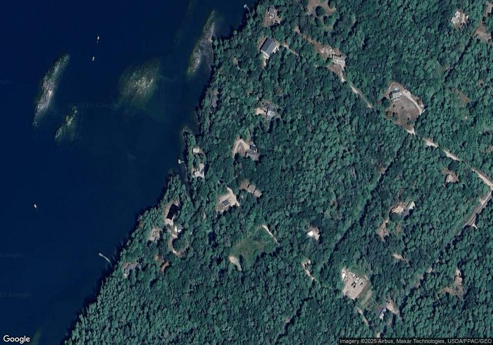
Map
Nearby Homes
- Map 80 Lot 18-0 White Island
- 270 Harpswell Neck Rd
- Lot 129 Harpswell Neck Rd
- Lot 2A Allen Point Rd
- Lot 2B Allen Point Rd
- 46 Blackstone Club Rd
- 0 Mere Point Rd
- 41 Spruce Brook Dr
- 853 Mere Point Rd
- 11 Orion Point Way
- 83 Central Ave
- 1 Mallard Pond Rd
- 0 Gundalo Gap Rd Unit 1638108
- 242 Long Reach Ln
- 0 Bayview Rd Unit 2 1632776
- 37 & 38 S Dyers Cove Rd
- lot C Long Point Rd
- 136 Bethel Point Rd
- 384 Mere Point Rd
- 1450 Harpswell Neck Rd
- 27 Frostfish Cove Rd
- 47 Frostfish Cove Rd
- 9 Frostfish Cove Rd
- 18 Frostfish Cove Rd
- 44 Tommy Cod Ln
- 61 Cunner Rock Rd
- 7 Rum Cave Rd
- 12 Frostfish Cove Rd
- 46 Lot Five Rd
- 22 Tommy Cod Ln
- 73 Cunner Rock Rd
- 0 Dorie Dr Unit 576473
- 0 Dorie Dr Unit 717240
- 0 Dorie Dr Unit 574263
- 0 Dorie Dr Unit 904257
- 0 Dorie Dr Unit 1479526
- 0 Dorie Dr Unit 949339
- 0 Dorie Dr Unit 998368
- 0 Dorie Dr Unit 1263449