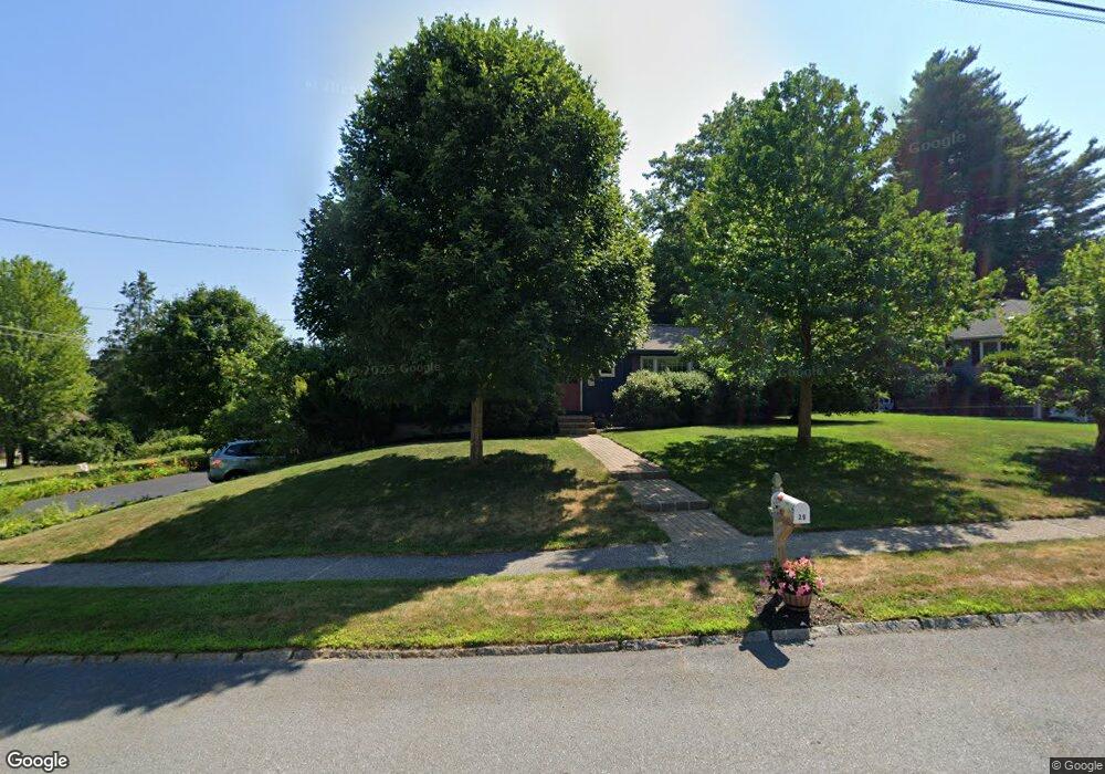
29 Hampton Dr Nashua, NH 03063
Northwest Nashua NeighborhoodEstimated Value: $538,403 - $548,000
3
Beds
2
Baths
1,724
Sq Ft
$315/Sq Ft
Est. Value
About This Home
This home is located at 29 Hampton Dr, Nashua, NH 03063 and is currently estimated at $543,851, approximately $315 per square foot. 29 Hampton Dr is a home located in Hillsborough County with nearby schools including Birch Hill Elementary School, Elm Street Middle School, and Nashua High School North.
Ownership History
Date
Name
Owned For
Owner Type
Purchase Details
Closed on
May 13, 2022
Sold by
Koonz Edward A and Bullard-Koons Barbara A
Bought by
Koonz Ft and Koonz
Current Estimated Value
Purchase Details
Closed on
May 31, 1991
Bought by
Koonz Edward A and Koonz Barbara A B
Create a Home Valuation Report for This Property
The Home Valuation Report is an in-depth analysis detailing your home's value as well as a comparison with similar homes in the area
Home Values in the Area
Average Home Value in this Area
Purchase History
| Date | Buyer | Sale Price | Title Company |
|---|---|---|---|
| Koonz Ft | -- | None Available | |
| Koonz Ft | -- | None Available | |
| Koonz Edward A | $122,300 | -- |
Source: Public Records
Mortgage History
| Date | Status | Borrower | Loan Amount |
|---|---|---|---|
| Previous Owner | Koonz Edward A | $60,000 | |
| Previous Owner | Koonz Edward A | $25,000 | |
| Previous Owner | Koonz Edward A | $135,000 | |
| Previous Owner | Koonz Edward A | $25,000 |
Source: Public Records
Tax History
| Year | Tax Paid | Tax Assessment Tax Assessment Total Assessment is a certain percentage of the fair market value that is determined by local assessors to be the total taxable value of land and additions on the property. | Land | Improvement |
|---|---|---|---|---|
| 2025 | $8,243 | $489,800 | $164,300 | $325,500 |
| 2024 | $7,788 | $489,800 | $164,300 | $325,500 |
| 2023 | $7,410 | $406,500 | $131,400 | $275,100 |
| 2022 | $7,345 | $406,500 | $131,400 | $275,100 |
| 2021 | $7,047 | $303,500 | $92,000 | $211,500 |
| 2020 | $6,862 | $303,500 | $92,000 | $211,500 |
| 2019 | $6,604 | $303,500 | $92,000 | $211,500 |
| 2018 | $6,437 | $303,500 | $92,000 | $211,500 |
| 2017 | $6,569 | $254,700 | $75,100 | $179,600 |
| 2016 | $6,385 | $254,700 | $75,100 | $179,600 |
| 2015 | $6,248 | $254,700 | $75,100 | $179,600 |
| 2014 | $6,126 | $254,700 | $75,100 | $179,600 |
Source: Public Records
Map
Nearby Homes
- 5 Ivy Ln Unit U131
- 111 Coburn Ave Unit 187
- 293 Pine Hill Rd
- 189 Coburn Woods
- 77 Dunbarton Dr
- 25 Pelham St
- 9 Rugby Rd
- 5 Lowther Place Unit U6
- 668 W Hollis St
- 30 Spring Cove Rd Unit U112
- 23 Spring Cove Rd Unit U152
- 8 Althea Ln Unit U26
- 4 Lee Ann St
- 47 Dogwood Dr Unit U202
- 40 Hollow Ridge Dr
- 247 Main Dunstable Rd
- 9 Leslie Ln
- 44 Broad St
- 26 Snow Ln
- 4 Burlington Rd
Your Personal Tour Guide
Ask me questions while you tour the home.