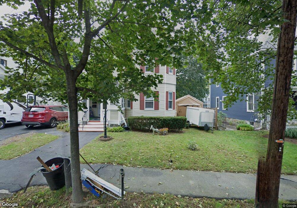
29 Harrison St Unit 1 Stoneham, MA 02180
Haywardville NeighborhoodEstimated Value: $774,000 - $952,000
1
Bed
1
Bath
500
Sq Ft
$1,739/Sq Ft
Est. Value
About This Home
This home is located at 29 Harrison St Unit 1, Stoneham, MA 02180 and is currently estimated at $869,314, approximately $1,738 per square foot. 29 Harrison St Unit 1 is a home located in Middlesex County with nearby schools including Stoneham High School, Melrose Montessori School, and St. Patrick Elementary School.
Ownership History
Date
Name
Owned For
Owner Type
Purchase Details
Closed on
Mar 10, 2022
Sold by
Decroteau Michael S
Bought by
Decroteau Ft
Current Estimated Value
Purchase Details
Closed on
Feb 8, 1985
Bought by
Decroteau Sally A and Decroteau Eugene F
Create a Home Valuation Report for This Property
The Home Valuation Report is an in-depth analysis detailing your home's value as well as a comparison with similar homes in the area
Home Values in the Area
Average Home Value in this Area
Purchase History
| Date | Buyer | Sale Price | Title Company |
|---|---|---|---|
| Decroteau Ft | -- | None Available | |
| Decroteau Sally A | $130,000 | -- |
Source: Public Records
Tax History Compared to Growth
Tax History
| Year | Tax Paid | Tax Assessment Tax Assessment Total Assessment is a certain percentage of the fair market value that is determined by local assessors to be the total taxable value of land and additions on the property. | Land | Improvement |
|---|---|---|---|---|
| 2025 | $7,041 | $688,300 | $399,300 | $289,000 |
| 2024 | $6,905 | $652,000 | $363,000 | $289,000 |
| 2023 | $6,834 | $615,700 | $326,700 | $289,000 |
| 2022 | $6,221 | $597,600 | $308,600 | $289,000 |
| 2021 | $6,349 | $586,800 | $299,500 | $287,300 |
| 2020 | $6,632 | $578,900 | $284,500 | $294,400 |
| 2019 | $6,095 | $543,200 | $296,300 | $246,900 |
| 2018 | $5,609 | $479,000 | $266,700 | $212,300 |
| 2017 | $5,096 | $411,300 | $247,100 | $164,200 |
| 2016 | $4,962 | $390,700 | $238,600 | $152,100 |
| 2015 | $4,789 | $369,500 | $204,500 | $165,000 |
| 2014 | $4,417 | $327,400 | $170,400 | $157,000 |
Source: Public Records
Map
Nearby Homes
- 53 Perkins St
- 132 Walton Park
- 601 Franklin St Unit 2
- 33 Lake Ave
- 349 W Emerson St
- 24 Ellsworth Ave
- 159 Franklin St Unit D2
- 159 Franklin St Unit C2
- 159 Franklin St Unit E6
- 81 Spring St
- 17 Franklin St
- 39 Tamarock Terrace
- 53 Melrose St Unit 4D
- 104 Myrtle Ave
- 51 Melrose St Unit 4D
- 51 Melrose St Unit 1C
- 137 Franklin St Unit 102
- 19 Fellsmere Ave
- 300 Park Terrace Dr Unit 354
- 24 Gladstone St