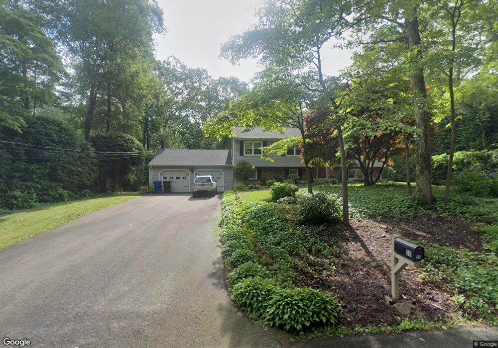
29 High Point Dr Northford, CT 06472
Estimated Value: $479,000 - $536,000
3
Beds
3
Baths
1,600
Sq Ft
$320/Sq Ft
Est. Value
About This Home
This home is located at 29 High Point Dr, Northford, CT 06472 and is currently estimated at $512,553, approximately $320 per square foot. 29 High Point Dr is a home located in New Haven County with nearby schools including Jerome Harrison School, Totoket Valley Elementary School, and North Branford Intermediate School.
Ownership History
Date
Name
Owned For
Owner Type
Purchase Details
Closed on
Aug 13, 2020
Sold by
Vollono Ann F
Bought by
Ann F Vollono Irt
Current Estimated Value
Purchase Details
Closed on
Oct 3, 1977
Bought by
Vollono Vincent R and Vollono Ann F
Create a Home Valuation Report for This Property
The Home Valuation Report is an in-depth analysis detailing your home's value as well as a comparison with similar homes in the area
Home Values in the Area
Average Home Value in this Area
Purchase History
| Date | Buyer | Sale Price | Title Company |
|---|---|---|---|
| Ann F Vollono Irt | -- | None Available | |
| Vollono Vincent R | -- | -- |
Source: Public Records
Mortgage History
| Date | Status | Borrower | Loan Amount |
|---|---|---|---|
| Previous Owner | Vollono Vincent R | $90,000 |
Source: Public Records
Tax History Compared to Growth
Tax History
| Year | Tax Paid | Tax Assessment Tax Assessment Total Assessment is a certain percentage of the fair market value that is determined by local assessors to be the total taxable value of land and additions on the property. | Land | Improvement |
|---|---|---|---|---|
| 2025 | $10,056 | $364,200 | $121,600 | $242,600 |
| 2024 | $8,677 | $241,500 | $101,400 | $140,100 |
| 2023 | $8,337 | $241,500 | $101,400 | $140,100 |
| 2022 | $8,025 | $241,500 | $101,400 | $140,100 |
| 2021 | $8,003 | $241,500 | $101,400 | $140,100 |
| 2020 | $7,582 | $225,800 | $94,700 | $131,100 |
| 2019 | $7,555 | $225,800 | $94,700 | $131,100 |
| 2018 | $7,539 | $225,800 | $94,700 | $131,100 |
| 2017 | $7,567 | $225,800 | $94,700 | $131,100 |
| 2016 | $7,221 | $225,800 | $94,700 | $131,100 |
| 2015 | $7,102 | $228,800 | $94,700 | $134,100 |
| 2014 | $6,846 | $228,800 | $94,700 | $134,100 |
Source: Public Records
Map
Nearby Homes
- 21 Idylwood Dr
- 5 Stefania's Way Unit Lot 14
- 929 Totoket Rd
- 201 Rimmon Rd
- 81 Warner Rd
- 255 Forest Rd
- 20 Lombard Cir Unit 20
- 22 Lombard Cir Unit 22
- 4 Lombard Cir Unit 4
- 2 Lombard Cir Unit 2
- 60 Spruce St
- 155 Mill Rd
- 32 Justine Dr
- 29 Justine Dr
- 34 Birchwood Rd
- 33 Justine Dr
- 358 Totoket Rd
- 356 Totoket Rd
- 300 Mill Rd
- 3 Borrelli Rd
- 23 High Point Dr
- 35 High Point Dr
- 760 Totoket Rd
- 770 Totoket Rd
- 7 High Point Dr
- 41 High Point Dr
- 117 Parsonage Hill Rd
- 766 Totoket Rd
- 752 Totoket Rd
- 125 Parsonage Hill Rd
- 131 Parsonage Hill Rd
- 47 High Point Dr
- 122 Village St
- 10 High Point Dr
- 136 Village St
- 118 Village St
- 111 Parsonage Hill Rd
- 126 Village St
- 740 Totoket Rd
- 132 Village St