Estimated Value: $646,000 - $692,000
3
Beds
1
Bath
1,230
Sq Ft
$545/Sq Ft
Est. Value
About This Home
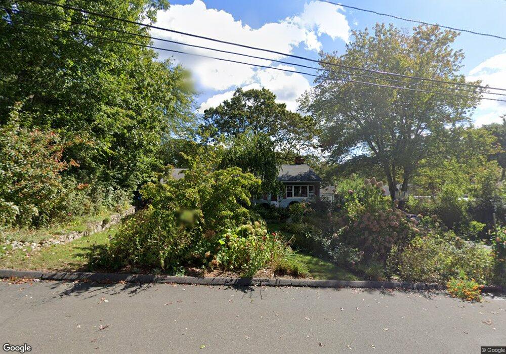
This home is located at 29 Ken Ct, Stamford, CT 06905 and is currently estimated at $670,254, approximately $544 per square foot. 29 Ken Ct is a home located in Fairfield County with nearby schools including Davenport Ridge Elementary School, Rippowam Middle School, and Stamford High School.
Ownership History
Date
Name
Owned For
Owner Type
Purchase Details
Closed on
Feb 29, 2008
Sold by
Piersa Kathryn L and Piersa Thomas A
Bought by
Barragan Alvaro
Current Estimated Value
Home Financials for this Owner
Home Financials are based on the most recent Mortgage that was taken out on this home.
Original Mortgage
$372,000
Interest Rate
5.8%
Mortgage Type
Purchase Money Mortgage
Create a Home Valuation Report for This Property
The Home Valuation Report is an in-depth analysis detailing your home's value as well as a comparison with similar homes in the area
Home Values in the Area
Average Home Value in this Area
Purchase History
| Date | Buyer | Sale Price | Title Company |
|---|---|---|---|
| Barragan Alvaro | $465,000 | -- | |
| Barragan Alvaro | $465,000 | -- |
Source: Public Records
Mortgage History
| Date | Status | Borrower | Loan Amount |
|---|---|---|---|
| Open | Barragan Alvaro | $361,000 | |
| Closed | Barragan Alvaro | $372,000 | |
| Previous Owner | Barragan Alvaro | $225,000 |
Source: Public Records
Tax History Compared to Growth
Tax History
| Year | Tax Paid | Tax Assessment Tax Assessment Total Assessment is a certain percentage of the fair market value that is determined by local assessors to be the total taxable value of land and additions on the property. | Land | Improvement |
|---|---|---|---|---|
| 2025 | $8,370 | $353,780 | $244,290 | $109,490 |
| 2024 | $8,186 | $353,780 | $244,290 | $109,490 |
| 2023 | $8,795 | $353,780 | $244,290 | $109,490 |
| 2022 | $7,388 | $276,280 | $181,320 | $94,960 |
| 2021 | $7,308 | $276,280 | $181,320 | $94,960 |
| 2020 | $7,120 | $276,280 | $181,320 | $94,960 |
| 2019 | $7,120 | $276,280 | $181,320 | $94,960 |
| 2018 | $6,857 | $276,280 | $181,320 | $94,960 |
| 2017 | $6,711 | $258,120 | $166,790 | $91,330 |
| 2016 | $6,523 | $258,120 | $166,790 | $91,330 |
| 2015 | $6,352 | $258,120 | $166,790 | $91,330 |
| 2014 | $6,141 | $258,120 | $166,790 | $91,330 |
Source: Public Records
Map
Nearby Homes
- 38 Lancaster Place
- 160 Wire Mill Rd
- 56 Bradley Place
- 34 Bradley Place
- 7 the Reserve at Sterling Ridge
- 400 Wire Mill Rd
- 14 Barmore Dr
- 88 Rockridge Ln
- 27 Emma Rd
- 21 Nichols Ave
- 60 Redmont Rd
- 210 Red Fox Rd
- 113 Wood Ridge Dr
- 164 Janes Ln
- 31 Rosano Rd
- 6 Walnut Ridge Ct
- 12 Walnut Ridge Ct
- 107 Deepwood Rd
- 433 High Ridge Rd
- 506 Roxbury Rd