29 Kermit Carter Rd Hazlehurst, GA 31539
Estimated Value: $171,000 - $593,000
2
Beds
1
Bath
--
Sq Ft
15
Acres Lot
About This Home
This home is located at 29 Kermit Carter Rd, Hazlehurst, GA 31539 and is currently estimated at $382,000. 29 Kermit Carter Rd is a home with nearby schools including Jeff Davis Primary School, Jeff Davis Elementary School, and Jeff Davis Middle School.
Ownership History
Date
Name
Owned For
Owner Type
Purchase Details
Closed on
Dec 4, 2023
Sold by
Merritt Natalie Michelle
Bought by
Pickren Matthew Alvin
Current Estimated Value
Home Financials for this Owner
Home Financials are based on the most recent Mortgage that was taken out on this home.
Original Mortgage
$20,816
Interest Rate
7.03%
Mortgage Type
New Conventional
Purchase Details
Closed on
Jan 28, 2022
Sold by
Pickren Matthew A
Bought by
Pickren Matthew Alvin and Merritt Natalie Michelle
Home Financials for this Owner
Home Financials are based on the most recent Mortgage that was taken out on this home.
Original Mortgage
$26,269
Interest Rate
3.56%
Mortgage Type
Cash
Purchase Details
Closed on
Apr 7, 2014
Sold by
Pickren Anna J
Bought by
Pickren Matthew A
Purchase Details
Closed on
May 23, 2008
Sold by
Pickren Ronald A
Bought by
Pickren Matthew A
Purchase Details
Closed on
Mar 12, 1993
Bought by
Pickren Ronald A
Create a Home Valuation Report for This Property
The Home Valuation Report is an in-depth analysis detailing your home's value as well as a comparison with similar homes in the area
Home Values in the Area
Average Home Value in this Area
Purchase History
We collect this data history from publicly available records. To have your information removed, we recommend requesting removal directly through your county’s website.
| Date | Buyer | Sale Price | Title Company |
|---|---|---|---|
| Pickren Matthew Alvin | -- | -- | |
| Pickren Matthew Alvin | -- | -- | |
| Pickren Matthew A | -- | -- | |
| Pickren Matthew A | -- | -- | |
| Pickren Ronald A | $10,000 | -- |
Source: Public Records
Mortgage History
We collect this data history from publicly available records. To have your information removed, we recommend requesting removal directly through your county’s website.
| Date | Status | Borrower | Loan Amount |
|---|---|---|---|
| Previous Owner | Pickren Matthew Alvin | $20,816 | |
| Previous Owner | Pickren Matthew Alvin | $26,269 |
Source: Public Records
Tax History
| Year | Tax Paid | Tax Assessment Tax Assessment Total Assessment is a certain percentage of the fair market value that is determined by local assessors to be the total taxable value of land and additions on the property. | Land | Improvement |
|---|---|---|---|---|
| 2025 | $970 | $36,840 | $21,320 | $15,520 |
| 2024 | $544 | $18,504 | $14,920 | $3,584 |
| 2023 | $652 | $22,184 | $10,184 | $12,000 |
| 2022 | $299 | $10,184 | $10,184 | $0 |
| 2021 | $299 | $10,184 | $10,184 | $0 |
| 2020 | $299 | $10,184 | $10,184 | $0 |
| 2019 | $299 | $10,184 | $10,184 | $0 |
| 2018 | $299 | $10,184 | $10,184 | $0 |
| 2017 | $294 | $10,184 | $10,184 | $0 |
| 2016 | $289 | $10,184 | $10,184 | $0 |
| 2015 | -- | $10,184 | $10,184 | $0 |
| 2014 | -- | $10,184 | $10,184 | $0 |
Source: Public Records
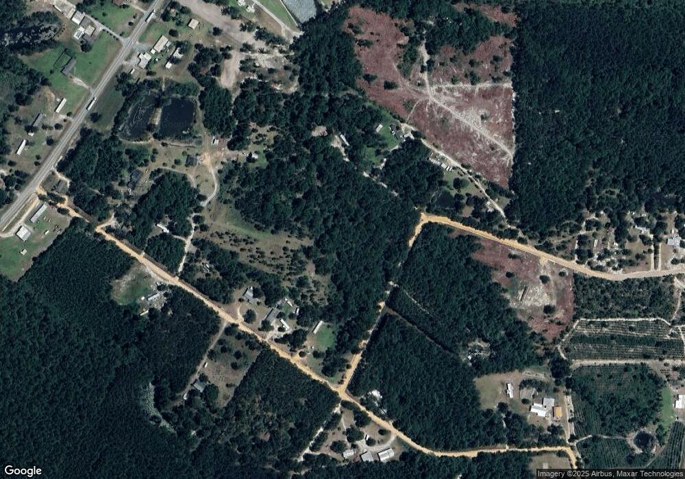
Map
Nearby Homes
- Kornegay Rd
- 1.3 ACRES Walter Phillips Rd
- 40 Comer Yawn Rd
- 84 Comer Yawn Rd
- 59 Long Leaf Rd
- 67 Long Leaf Rd
- 000 Old Graham Rd
- 0 Old Graham Rd Unit 10699984
- 40 Hillcrest Ave
- 1102 Three River Ln
- 1102 Three Rivers Ln
- 74 N Gill St
- 95 E Plum St
- 19 Martin Luther King jr Blvd
- 82 Cook Rd
- 308 Three Rivers Ln
- 73 Latimer St
- 91 Wilson St
- 44 Kersey St
- 45 Kersey St
- 966 Uvalda Hwy
- 968 Uvalda Hwy
- 942 Uvalda Hwy
- 37 Deer Run Rd
- 458 Mathis Rd
- 979 Uvalda Hwy
- 961 Uvalda Hwy
- 49 Kermit Carter Rd
- 969 Uvalda Hwy
- 929 Uvalda Hwy
- 981 Uvalda Hwy
- 57 Kermit Carter Rd
- 926 Uvalda Hwy Unit 1
- 975 Uvalda Hwy
- 44 Kermit Carter Rd
- 75 Kermit Carter Rd
- 902 Uvalda Hwy
- 60 Kermit Carter Rd
- 903 Uvalda Hwy
- 1018 Uvalda Hwy
Your Personal Tour Guide
Ask me questions while you tour the home.