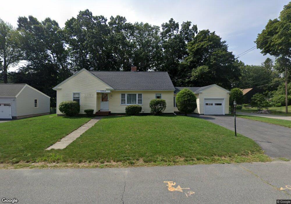
29 Kimball Rd Methuen, MA 01844
The West End NeighborhoodEstimated Value: $555,657 - $628,000
3
Beds
1
Bath
1,674
Sq Ft
$350/Sq Ft
Est. Value
About This Home
This home is located at 29 Kimball Rd, Methuen, MA 01844 and is currently estimated at $586,664, approximately $350 per square foot. 29 Kimball Rd is a home located in Essex County with nearby schools including Tenney Grammar School, Methuen High School, and The Birches Academy of Academics and Art.
Ownership History
Date
Name
Owned For
Owner Type
Purchase Details
Closed on
May 11, 2018
Sold by
Neil Eleanor L
Bought by
Neil Ft and Neil
Current Estimated Value
Purchase Details
Closed on
Oct 30, 1989
Sold by
Denis Yvonne
Bought by
Neil Eleanor
Home Financials for this Owner
Home Financials are based on the most recent Mortgage that was taken out on this home.
Original Mortgage
$45,000
Interest Rate
9.94%
Mortgage Type
Purchase Money Mortgage
Create a Home Valuation Report for This Property
The Home Valuation Report is an in-depth analysis detailing your home's value as well as a comparison with similar homes in the area
Home Values in the Area
Average Home Value in this Area
Purchase History
| Date | Buyer | Sale Price | Title Company |
|---|---|---|---|
| Neil Ft | -- | -- | |
| Neil Ft | -- | -- | |
| Neil Ft | -- | -- | |
| Neil Eleanor | $147,000 | -- |
Source: Public Records
Mortgage History
| Date | Status | Borrower | Loan Amount |
|---|---|---|---|
| Previous Owner | Neil Eleanor | $45,000 | |
| Previous Owner | Neil Eleanor | $45,000 |
Source: Public Records
Tax History
| Year | Tax Paid | Tax Assessment Tax Assessment Total Assessment is a certain percentage of the fair market value that is determined by local assessors to be the total taxable value of land and additions on the property. | Land | Improvement |
|---|---|---|---|---|
| 2025 | $5,091 | $481,200 | $215,600 | $265,600 |
| 2024 | $5,013 | $461,600 | $196,000 | $265,600 |
| 2023 | $4,702 | $401,900 | $175,000 | $226,900 |
| 2022 | $4,360 | $334,100 | $140,000 | $194,100 |
| 2021 | $4,142 | $314,000 | $133,000 | $181,000 |
| 2020 | $4,150 | $308,800 | $133,000 | $175,800 |
| 2019 | $4,056 | $285,800 | $126,000 | $159,800 |
| 2018 | $3,971 | $278,300 | $126,000 | $152,300 |
| 2017 | $3,847 | $262,600 | $126,000 | $136,600 |
| 2016 | $3,694 | $249,400 | $126,000 | $123,400 |
| 2015 | $3,546 | $242,900 | $126,000 | $116,900 |
Source: Public Records
Map
Nearby Homes
- 255 Hampshire St
- 281 Broadway
- 25 Carol Ave
- 8 Ridgeview Ave
- 23 Bentley Cir
- 19 Hampshire Rd Unit 304
- 21 Hampshire Rd Unit 111
- 28 Eagle Dr
- 0 Hampshire Rd
- 123 Lawrence St
- 6 Huse Rd
- 83 Arnold St
- Lot 108 Garden City Rd
- 9-11 Horne St
- 24 Railroad St
- 7 Field Ave
- 20-22 Ashland Ave
- 28 Currier Ave
- 687 Jackson St
- 115-117 Oakland Ave
- 33 Kimball Rd
- 30 Kimball Rd
- 25 Kimball Rd
- 18 Stanley Rd
- 34 Kimball Rd
- 22 Kimball Rd
- 33 Stanley Rd
- 17 Kimball Rd
- 20 Kimball Rd
- 38 Kimball Rd
- 14 Stanley Rd Unit 16
- 14-16 Stanley Rd
- 18 Kimball Rd
- 15 Kimball Rd
- 15 Kimball Rd Unit 15
- 0 Confidential Ln Unit 70883196
- 0 Confidential St Unit 70948235
- 01 Confidential Ln
- 28
- 0 Confidential St Unit 71311959
Your Personal Tour Guide
Ask me questions while you tour the home.