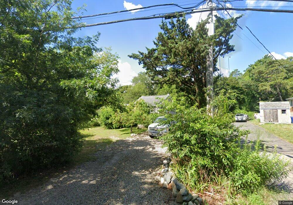
29 Leonard St West Wareham, MA 02576
Estimated Value: $375,000 - $428,000
2
Beds
1
Bath
628
Sq Ft
$650/Sq Ft
Est. Value
About This Home
This home is located at 29 Leonard St, West Wareham, MA 02576 and is currently estimated at $408,201, approximately $650 per square foot. 29 Leonard St is a home located in Plymouth County.
Ownership History
Date
Name
Owned For
Owner Type
Purchase Details
Closed on
Nov 3, 2020
Sold by
Bertocchi Keith A
Bought by
Bertocchi Keith A and Dertocchi Jake T
Current Estimated Value
Purchase Details
Closed on
Nov 30, 2009
Sold by
Loconte Antoinette and Loconte Maria
Bought by
Bertocchi Keith A and Bertocchi Angelo A
Home Financials for this Owner
Home Financials are based on the most recent Mortgage that was taken out on this home.
Original Mortgage
$56,000
Interest Rate
4.92%
Mortgage Type
Purchase Money Mortgage
Create a Home Valuation Report for This Property
The Home Valuation Report is an in-depth analysis detailing your home's value as well as a comparison with similar homes in the area
Home Values in the Area
Average Home Value in this Area
Purchase History
| Date | Buyer | Sale Price | Title Company |
|---|---|---|---|
| Bertocchi Keith A | -- | None Available | |
| Bertocchi Keith A | -- | None Available | |
| Bertocchi Keith A | $70,000 | -- | |
| Bertocchi Keith A | $70,000 | -- |
Source: Public Records
Mortgage History
| Date | Status | Borrower | Loan Amount |
|---|---|---|---|
| Previous Owner | Bertocchi Keith A | $56,000 |
Source: Public Records
Tax History Compared to Growth
Tax History
| Year | Tax Paid | Tax Assessment Tax Assessment Total Assessment is a certain percentage of the fair market value that is determined by local assessors to be the total taxable value of land and additions on the property. | Land | Improvement |
|---|---|---|---|---|
| 2025 | $3,630 | $348,400 | $104,300 | $244,100 |
| 2024 | $3,743 | $333,300 | $81,500 | $251,800 |
| 2023 | $3,340 | $299,500 | $74,100 | $225,400 |
| 2022 | $3,340 | $253,400 | $74,100 | $179,300 |
| 2021 | $3,131 | $232,800 | $74,100 | $158,700 |
| 2020 | $2,980 | $224,700 | $74,100 | $150,600 |
| 2019 | $2,578 | $194,000 | $71,300 | $122,700 |
| 2018 | $2,654 | $194,700 | $71,300 | $123,400 |
| 2017 | $2,452 | $182,300 | $71,300 | $111,000 |
| 2016 | $2,232 | $165,000 | $68,900 | $96,100 |
| 2015 | $2,157 | $165,000 | $68,900 | $96,100 |
| 2014 | $2,026 | $157,700 | $64,500 | $93,200 |
Source: Public Records
Map
Nearby Homes
- 12 Taft St
- 26 Washington Dr
- 21 Windsor Dr
- 929 Point Rd
- 174 Wareham Rd
- 6 A Rock Marsh Rd Unit A
- 6 A Rock Marsh Rd Unit A
- 0 Cromesett Rd (Off) Unit 73385395
- 119 County Rd
- 233 Marion Rd
- 5 Sola's Cir
- 127 County Rd
- 4 Rebecca Dr
- 291 County Rd
- 58 Shady Ln
- 245 Wareham Rd
- 4 Blackhall Ct
- Lot 77E Seahorse
- Lot 77D Seahorse
- 21 Weston Ave