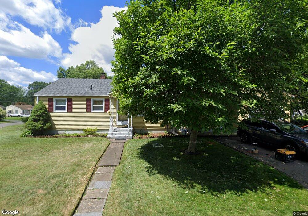
29 Lewis St Wethersfield, CT 06109
Estimated Value: $333,000 - $374,000
4
Beds
2
Baths
1,275
Sq Ft
$281/Sq Ft
Est. Value
About This Home
This home is located at 29 Lewis St, Wethersfield, CT 06109 and is currently estimated at $358,707, approximately $281 per square foot. 29 Lewis St is a home located in Hartford County with nearby schools including Charles Wright School, Silas Deane Middle School, and Wethersfield High School.
Ownership History
Date
Name
Owned For
Owner Type
Purchase Details
Closed on
Aug 18, 2009
Sold by
Lajara Luis
Bought by
Lajara Luis and Lajara Nilda I
Current Estimated Value
Home Financials for this Owner
Home Financials are based on the most recent Mortgage that was taken out on this home.
Original Mortgage
$217,979
Outstanding Balance
$143,207
Interest Rate
5.36%
Estimated Equity
$215,500
Create a Home Valuation Report for This Property
The Home Valuation Report is an in-depth analysis detailing your home's value as well as a comparison with similar homes in the area
Home Values in the Area
Average Home Value in this Area
Purchase History
| Date | Buyer | Sale Price | Title Company |
|---|---|---|---|
| Lajara Luis | -- | -- | |
| Lajara Luis | $222,000 | -- |
Source: Public Records
Mortgage History
| Date | Status | Borrower | Loan Amount |
|---|---|---|---|
| Open | Lajara Luis | $217,979 |
Source: Public Records
Tax History
| Year | Tax Paid | Tax Assessment Tax Assessment Total Assessment is a certain percentage of the fair market value that is determined by local assessors to be the total taxable value of land and additions on the property. | Land | Improvement |
|---|---|---|---|---|
| 2025 | $7,255 | $176,010 | $69,970 | $106,040 |
| 2024 | $5,662 | $131,000 | $64,400 | $66,600 |
| 2023 | $5,473 | $131,000 | $64,400 | $66,600 |
| 2022 | $5,381 | $131,000 | $64,400 | $66,600 |
| 2021 | $5,328 | $131,000 | $64,400 | $66,600 |
| 2020 | $5,330 | $131,000 | $64,400 | $66,600 |
| 2019 | $5,337 | $131,000 | $64,400 | $66,600 |
| 2018 | $5,448 | $133,600 | $62,500 | $71,100 |
| 2017 | $5,313 | $133,600 | $62,500 | $71,100 |
| 2016 | $5,149 | $133,600 | $62,500 | $71,100 |
| 2015 | $5,102 | $133,600 | $62,500 | $71,100 |
| 2014 | $4,908 | $133,600 | $62,500 | $71,100 |
Source: Public Records
Map
Nearby Homes
- 97 Brussels Ave
- 219 Jordan Ln Unit 221
- 19 Albert Ave
- 90 Goodwin Park Rd
- 1310 Berlin Turnpike Unit 223
- 18 Avalon Place
- 704 Franklin Ave
- 317 Garden St Unit 319
- 116 Wells Farm Dr
- 1 Fernwood St
- 28 Bolton St
- 87 Somerset St
- 12 Bates Place
- 80 Cowles St
- 91 Somerset St
- 166 George St
- 240 South St Unit 242
- 173 Timber Trail
- 273 Forest Dr
- 43 Yale St
- 85 Hillsdale Ave
- 21 Lewis St
- 32 Lewis St
- 89 Hillsdale Ave
- 24 Lewis St
- 15 Lewis St
- 65 Hillsdale Ave
- 93 Hillsdale Ave
- 78 Hillsdale Ave
- 84 Hillsdale Ave
- 20 Lewis St
- 68 Hillsdale Ave
- 88 Hillsdale Ave
- 59 Hillsdale Ave
- 97 Hillsdale Ave
- 11 Lewis St
- 18 Williams St
- 12 Lewis St
- 92 Hillsdale Ave
- 62 Hillsdale Ave
Your Personal Tour Guide
Ask me questions while you tour the home.