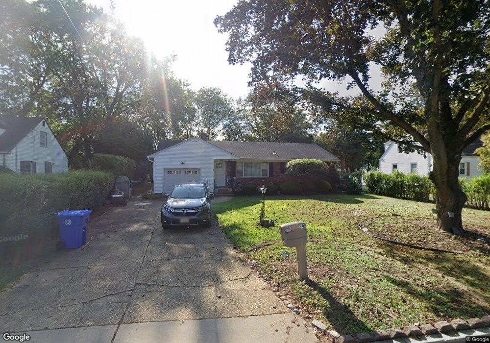
29 Locust Ave Eatontown, NJ 07724
Estimated Value: $553,000 - $628,000
3
Beds
2
Baths
1,436
Sq Ft
$411/Sq Ft
Est. Value
About This Home
This home is located at 29 Locust Ave, Eatontown, NJ 07724 and is currently estimated at $589,718, approximately $410 per square foot. 29 Locust Ave is a home located in Monmouth County with nearby schools including Meadowbrook Elementary, Memorial Middle School, and Bet Yaakov of the Jersey Shore.
Ownership History
Date
Name
Owned For
Owner Type
Purchase Details
Closed on
Mar 17, 1998
Sold by
Commercial Credit
Bought by
Bedard Maureen
Current Estimated Value
Home Financials for this Owner
Home Financials are based on the most recent Mortgage that was taken out on this home.
Original Mortgage
$128,000
Outstanding Balance
$23,292
Interest Rate
6.96%
Estimated Equity
$566,426
Create a Home Valuation Report for This Property
The Home Valuation Report is an in-depth analysis detailing your home's value as well as a comparison with similar homes in the area
Home Values in the Area
Average Home Value in this Area
Purchase History
| Date | Buyer | Sale Price | Title Company |
|---|---|---|---|
| Bedard Maureen | $135,250 | -- |
Source: Public Records
Mortgage History
| Date | Status | Borrower | Loan Amount |
|---|---|---|---|
| Open | Bedard Maureen | $128,000 |
Source: Public Records
Tax History Compared to Growth
Tax History
| Year | Tax Paid | Tax Assessment Tax Assessment Total Assessment is a certain percentage of the fair market value that is determined by local assessors to be the total taxable value of land and additions on the property. | Land | Improvement |
|---|---|---|---|---|
| 2025 | $8,551 | $486,200 | $286,500 | $199,700 |
| 2024 | $8,085 | $456,800 | $268,400 | $188,400 |
| 2023 | $8,085 | $410,200 | $238,400 | $171,800 |
| 2022 | $6,482 | $341,900 | $198,700 | $143,200 |
| 2021 | $6,482 | $302,400 | $174,300 | $128,100 |
| 2020 | $6,580 | $288,600 | $164,300 | $124,300 |
| 2019 | $6,487 | $284,900 | $164,300 | $120,600 |
| 2018 | $6,196 | $268,100 | $154,300 | $113,800 |
| 2017 | $5,969 | $267,300 | $154,300 | $113,000 |
| 2016 | $6,097 | $279,300 | $154,300 | $125,000 |
| 2015 | $5,833 | $262,400 | $144,300 | $118,100 |
| 2014 | $5,169 | $229,100 | $124,300 | $104,800 |
Source: Public Records
Map
Nearby Homes
- 32 Villa Place
- 335 Broad St
- 351 Meadowbrook Ave
- 11 Schuber Place
- 99C White St
- 57 White St Unit D
- 105 White St Unit D
- 74 Reynolds Dr
- 72 White St Unit A
- 92 Wyckoff Rd
- 104 South St
- 58 Monmouth Rd
- 8 Hialeah
- 14 Oceanport Ave
- 3 Sandbar Alley
- 49 Laurel Place Unit A
- 16 Haskell Way
- 13 Ginger Ct
- 35 Sunnybank Dr
- 5 Waverly Ct