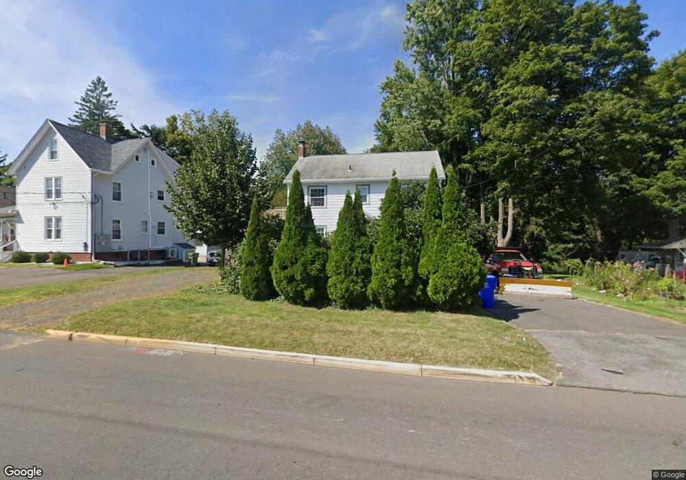
29 Long Ln Middletown, CT 06457
Estimated Value: $408,000 - $451,000
2
Beds
2
Baths
990
Sq Ft
$430/Sq Ft
Est. Value
About This Home
This home is located at 29 Long Ln, Middletown, CT 06457 and is currently estimated at $425,317, approximately $429 per square foot. 29 Long Ln is a home located in Middlesex County with nearby schools including Wilbert Snow Elementary School, Middletown High School, and St John Paul II School.
Ownership History
Date
Name
Owned For
Owner Type
Purchase Details
Closed on
Sep 28, 2023
Sold by
Scarrozzo Suzanne
Bought by
Combe Matthew
Current Estimated Value
Purchase Details
Closed on
Apr 17, 2023
Sold by
Holder William L and Holder Elisabeth
Bought by
Combe Matthew and Scarrozzo Suzanne
Home Financials for this Owner
Home Financials are based on the most recent Mortgage that was taken out on this home.
Original Mortgage
$272,000
Interest Rate
6.65%
Mortgage Type
Purchase Money Mortgage
Purchase Details
Closed on
May 1, 1984
Bought by
Holder William L and Holder Elizabeth
Create a Home Valuation Report for This Property
The Home Valuation Report is an in-depth analysis detailing your home's value as well as a comparison with similar homes in the area
Purchase History
| Date | Buyer | Sale Price | Title Company |
|---|---|---|---|
| Combe Matthew | -- | None Available | |
| Combe Matthew | $340,000 | None Available | |
| Holder William L | -- | -- |
Source: Public Records
Mortgage History
| Date | Status | Borrower | Loan Amount |
|---|---|---|---|
| Previous Owner | Combe Matthew | $272,000 |
Source: Public Records
Tax History
| Year | Tax Paid | Tax Assessment Tax Assessment Total Assessment is a certain percentage of the fair market value that is determined by local assessors to be the total taxable value of land and additions on the property. | Land | Improvement |
|---|---|---|---|---|
| 2025 | $7,881 | $202,590 | $66,400 | $136,190 |
| 2024 | $7,455 | $202,590 | $66,400 | $136,190 |
| 2023 | $7,111 | $202,590 | $66,400 | $136,190 |
| 2022 | $6,474 | $147,130 | $43,840 | $103,290 |
| 2021 | $6,474 | $147,130 | $43,840 | $103,290 |
| 2020 | $6,503 | $147,130 | $43,840 | $103,290 |
| 2019 | $6,533 | $147,130 | $43,840 | $103,290 |
| 2018 | $6,430 | $147,130 | $43,840 | $103,290 |
| 2017 | $5,525 | $130,310 | $43,850 | $86,460 |
| 2016 | $5,369 | $130,310 | $43,850 | $86,460 |
| 2015 | $5,160 | $130,310 | $43,850 | $86,460 |
| 2014 | $5,212 | $130,310 | $43,850 | $86,460 |
Source: Public Records
Map
Nearby Homes
- 21 Butternut Knolls
- 13 Mckenna Dr
- 45 Mckenna Dr
- 11 Mansfield Terrace
- 27 Barbara Rd
- 160 Boston Rd
- 211 Boston Rd
- 201 College St Unit 26
- 8 Nathan Hale Rd
- 1 Nathan Hale Rd
- 4 Nathan Hale Rd
- 3 Nathan Hale Rd
- 5 Nathan Hale Rd
- 146 Liberty St
- 58 Durant Terrace
- 132 Grand St
- 177 Pearl St
- 183 Aston Ln
- 207 Pearl St
- 8 Macdonough Place
Your Personal Tour Guide
Ask me questions while you tour the home.