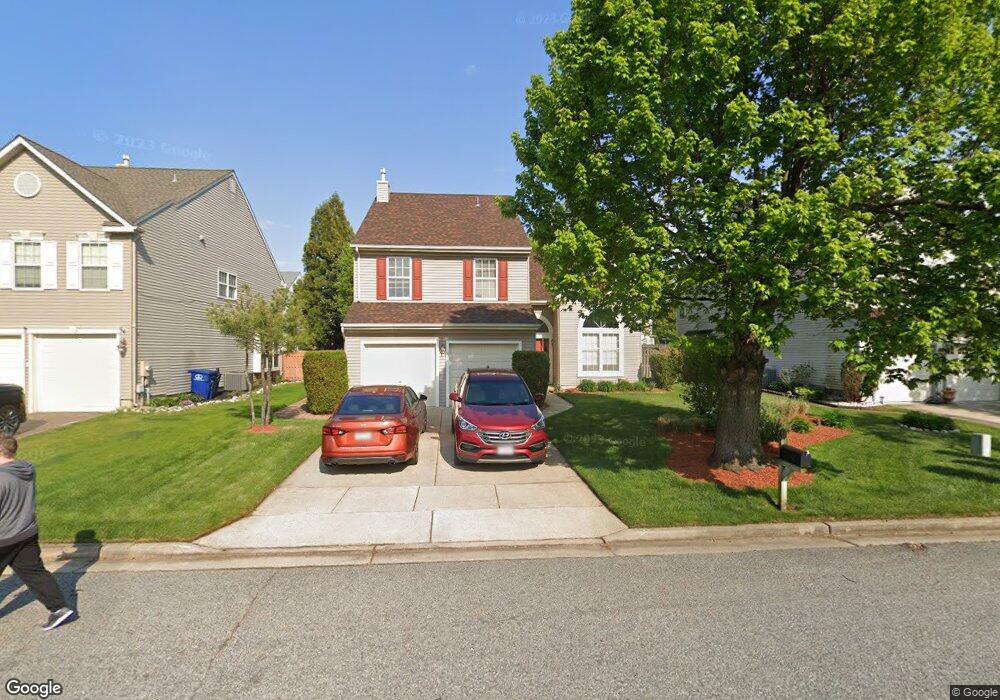
29 Longbridge Dr Mount Laurel, NJ 08054
Estimated Value: $545,229 - $624,000
Studio
--
Bath
2,429
Sq Ft
$246/Sq Ft
Est. Value
About This Home
This home is located at 29 Longbridge Dr, Mount Laurel, NJ 08054 and is currently estimated at $597,557, approximately $246 per square foot. 29 Longbridge Dr is a home located in Burlington County with nearby schools including Countryside Elementary School, T.E. Harrington Middle School, and Mount Laurel Hartford School.
Ownership History
Date
Name
Owned For
Owner Type
Purchase Details
Closed on
Jun 6, 2008
Sold by
Shaw Keith A and Shaw Catherine
Bought by
Shaw Keith A and Shaw Catherine
Current Estimated Value
Home Financials for this Owner
Home Financials are based on the most recent Mortgage that was taken out on this home.
Original Mortgage
$174,700
Outstanding Balance
$112,219
Interest Rate
6.07%
Mortgage Type
Purchase Money Mortgage
Estimated Equity
$485,338
Purchase Details
Closed on
Jan 5, 1995
Sold by
Orleans Construction Corp
Bought by
Shaw Keith A
Create a Home Valuation Report for This Property
The Home Valuation Report is an in-depth analysis detailing your home's value as well as a comparison with similar homes in the area
Home Values in the Area
Average Home Value in this Area
Purchase History
| Date | Buyer | Sale Price | Title Company |
|---|---|---|---|
| Shaw Keith A | -- | Service Link | |
| Shaw Keith A | $181,951 | Settlers Title Agency |
Source: Public Records
Mortgage History
| Date | Status | Borrower | Loan Amount |
|---|---|---|---|
| Open | Shaw Keith A | $174,700 |
Source: Public Records
Tax History
| Year | Tax Paid | Tax Assessment Tax Assessment Total Assessment is a certain percentage of the fair market value that is determined by local assessors to be the total taxable value of land and additions on the property. | Land | Improvement |
|---|---|---|---|---|
| 2025 | $9,809 | $310,700 | $93,600 | $217,100 |
| 2024 | $9,439 | $310,700 | $93,600 | $217,100 |
| 2023 | $9,439 | $310,700 | $93,600 | $217,100 |
| 2022 | $9,408 | $310,700 | $93,600 | $217,100 |
| 2021 | $9,231 | $310,700 | $93,600 | $217,100 |
| 2020 | $9,051 | $310,700 | $93,600 | $217,100 |
| 2019 | $8,957 | $310,700 | $93,600 | $217,100 |
| 2018 | $8,889 | $310,700 | $93,600 | $217,100 |
| 2017 | $8,659 | $310,700 | $93,600 | $217,100 |
| 2016 | $8,529 | $310,700 | $93,600 | $217,100 |
| 2015 | $8,429 | $310,700 | $93,600 | $217,100 |
| 2014 | $8,345 | $310,700 | $93,600 | $217,100 |
Source: Public Records
Map
Nearby Homes
- 78 Watson Dr
- 58 Watson Dr
- 1604B Steeplebush Terrace Unit 2604B
- 907A Oliphant Ln Unit 907A
- 506 Oliphant Ln Unit 506
- 2702B Bluegrass Dr Unit B
- 112 Village Ln Unit 112
- 30 Leighton Dr
- 9 Avandale Ct
- 2103A Ferndale Ct Unit A
- 205 Kirby Way Unit 205
- 3 Avandale Ct
- 21 A E Daisy Ln
- 23 E Oleander Dr
- 130B Birchfield Ct Unit B
- 130B Birchfield Ct Unit 130B
- 404 Aster Place
- 98B Red Cedar Ct
- 104B Sumac Ct Unit 104B
- 16 E Bluebell Ln
- 31 Longbridge Dr
- 27 Longbridge Dr
- 70 Watson Dr
- 33 Longbridge Dr
- 25 Longbridge Dr
- 68 Watson Dr
- 72 Watson Dr
- 30 Longbridge Dr
- 32 Longbridge Dr
- 28 Longbridge Dr
- 66 Watson Dr
- 35 Longbridge Dr
- 34 Longbridge Dr
- 26 Longbridge Dr
- 23 Longbridge Dr
- 4 Vassar Rd
- 64 Watson Dr
- 74 Watson Dr
- 36 Longbridge Dr
- 37 Longbridge Dr
Your Personal Tour Guide
Ask me questions while you tour the home.