29 Longmeadow Rd Scituate, MA 02066
Estimated Value: $1,712,000 - $2,041,820
4
Beds
3
Baths
3,084
Sq Ft
$609/Sq Ft
Est. Value
About This Home
This home is located at 29 Longmeadow Rd, Scituate, MA 02066 and is currently estimated at $1,876,910, approximately $608 per square foot. 29 Longmeadow Rd is a home located in Plymouth County with nearby schools including Hatherly Elementary School, Lester J. Gates Middle School, and Scituate High School.
Ownership History
Date
Name
Owned For
Owner Type
Purchase Details
Closed on
May 24, 2021
Sold by
Fox Run 2 Rt
Bought by
Cc Rt
Current Estimated Value
Purchase Details
Closed on
Feb 23, 2011
Sold by
Costello Leo C and Costello Mary E
Bought by
Fox Run Rt
Create a Home Valuation Report for This Property
The Home Valuation Report is an in-depth analysis detailing your home's value as well as a comparison with similar homes in the area
Home Values in the Area
Average Home Value in this Area
Purchase History
| Date | Buyer | Sale Price | Title Company |
|---|---|---|---|
| Cc Rt | -- | None Available | |
| Fox Run Rt | -- | -- | |
| Costello Leo C | -- | -- |
Source: Public Records
Tax History Compared to Growth
Tax History
| Year | Tax Paid | Tax Assessment Tax Assessment Total Assessment is a certain percentage of the fair market value that is determined by local assessors to be the total taxable value of land and additions on the property. | Land | Improvement |
|---|---|---|---|---|
| 2025 | $18,143 | $1,816,150 | $0 | $0 |
| 2024 | $18,119 | $0 | $0 | $0 |
| 2023 | $16,911 | $1,519,440 | $0 | $0 |
| 2022 | $16,027 | $1,269,990 | $0 | $0 |
| 2021 | $16,481 | $1,236,370 | $0 | $0 |
| 2020 | $16,323 | $1,209,140 | $327,640 | $881,500 |
| 2019 | $16,168 | $1,176,730 | $321,230 | $855,500 |
| 2018 | $15,765 | $1,130,140 | $313,440 | $816,700 |
| 2017 | $15,755 | $1,118,200 | $0 | $0 |
| 2016 | $15,465 | $1,093,700 | $0 | $0 |
| 2015 | $14,171 | $1,081,770 | $0 | $0 |
Source: Public Records
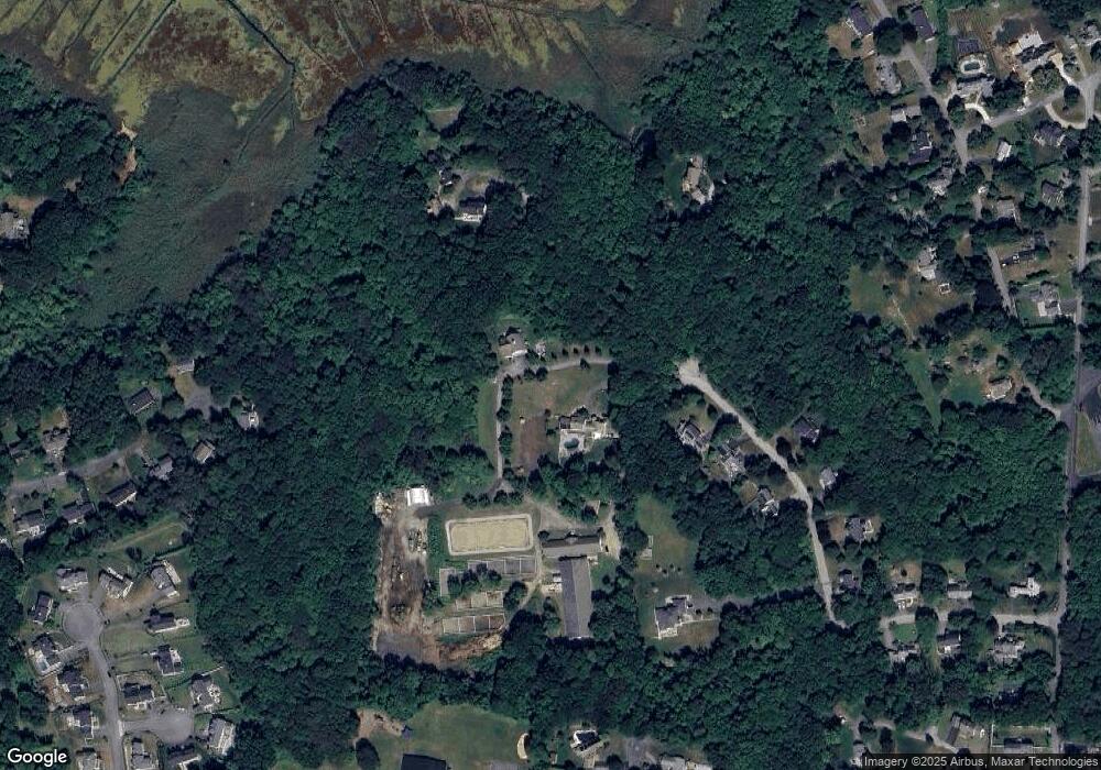
Map
Nearby Homes
- 29R Longmeadow Rd
- 25 Longmeadow Rd
- 21 Longmeadow Rd
- 15 Longmeadow Rd
- 15 Longmeadow Rd
- 18 Longmeadow Rd
- 31 Longmeadow Rd
- 14 Longmeadow Rd
- 28 Longmeadow Rd
- 3 Longmeadow Rd
- 10 Longmeadow Rd
- 2 Longmeadow Rd
- 31 Bittersweet Dr
- 84 Townsend Rd
- 30 Bittersweet Dr
- 10 Carriage House Way
- 14 Carriage House Way Unit LOT 6
- 3 Cold Brook Cir
- 3 Cold Brook Cir Unit LOT 15
- 12 Carriage House Way Unit LOT 5