29 Luke St Wrentham, MA 02093
West Wrentham NeighborhoodEstimated Value: $990,746 - $1,265,000
4
Beds
4
Baths
3,800
Sq Ft
$296/Sq Ft
Est. Value
About This Home
This home is located at 29 Luke St, Wrentham, MA 02093 and is currently estimated at $1,125,937, approximately $296 per square foot. 29 Luke St is a home located in Norfolk County with nearby schools including Delaney Elementary School, Charles E Roderick, and Rise Prep Mayoral Academy Middle School.
Ownership History
Date
Name
Owned For
Owner Type
Purchase Details
Closed on
Apr 30, 2007
Sold by
Vandiver Michael D and Vandiver Teresa D
Bought by
Donovan Daniel W and Donovan Carol A
Current Estimated Value
Home Financials for this Owner
Home Financials are based on the most recent Mortgage that was taken out on this home.
Original Mortgage
$115,000
Interest Rate
6.18%
Mortgage Type
Purchase Money Mortgage
Purchase Details
Closed on
Sep 13, 1999
Sold by
Lot 6 Rt
Bought by
Vandiver Michael D and Vandiver Teresa D
Home Financials for this Owner
Home Financials are based on the most recent Mortgage that was taken out on this home.
Original Mortgage
$240,000
Interest Rate
7.65%
Mortgage Type
Purchase Money Mortgage
Create a Home Valuation Report for This Property
The Home Valuation Report is an in-depth analysis detailing your home's value as well as a comparison with similar homes in the area
Home Values in the Area
Average Home Value in this Area
Purchase History
| Date | Buyer | Sale Price | Title Company |
|---|---|---|---|
| Donovan Daniel W | $675,000 | -- | |
| Vandiver Michael D | $447,900 | -- |
Source: Public Records
Mortgage History
| Date | Status | Borrower | Loan Amount |
|---|---|---|---|
| Open | Vandiver Michael D | $135,000 | |
| Closed | Donovan Daniel W | $115,000 | |
| Previous Owner | Vandiver Michael D | $240,000 | |
| Closed | Vandiver Michael D | $117,900 |
Source: Public Records
Tax History Compared to Growth
Tax History
| Year | Tax Paid | Tax Assessment Tax Assessment Total Assessment is a certain percentage of the fair market value that is determined by local assessors to be the total taxable value of land and additions on the property. | Land | Improvement |
|---|---|---|---|---|
| 2025 | $11,472 | $989,800 | $301,700 | $688,100 |
| 2024 | $10,828 | $902,300 | $301,700 | $600,600 |
| 2023 | $10,747 | $851,600 | $274,500 | $577,100 |
| 2022 | $10,027 | $733,500 | $247,700 | $485,800 |
| 2021 | $9,286 | $660,000 | $221,500 | $438,500 |
| 2020 | $10,110 | $709,500 | $202,500 | $507,000 |
| 2019 | $9,946 | $704,400 | $220,700 | $483,700 |
| 2018 | $9,340 | $655,900 | $220,300 | $435,600 |
| 2017 | $9,116 | $639,700 | $216,100 | $423,600 |
| 2016 | $8,928 | $625,200 | $209,800 | $415,400 |
| 2015 | $9,867 | $658,700 | $251,600 | $407,100 |
| 2014 | $9,703 | $633,800 | $242,000 | $391,800 |
Source: Public Records
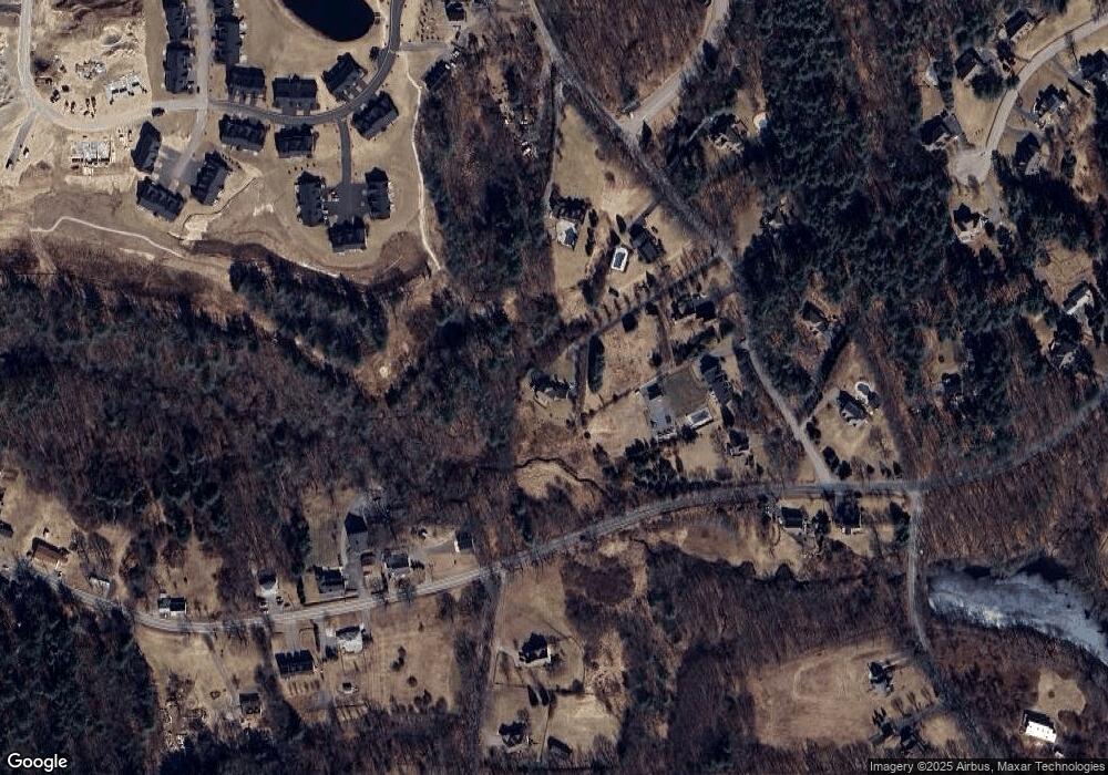
Map
Nearby Homes
- 9 Pebble Cir Unit 9
- 24 Palmetto Dr Unit 24
- 21 Palmetto Dr Unit 21
- 65 Palmetto Dr Unit 65
- 29 Squire Ln
- 219 Dawn Blvd
- 20 Nature View Dr
- 25 Nature View Dr
- 124 Lake St
- 340 Wrentham Rd
- 1250 Pulaski Blvd
- 2 Duhamel Way
- 10 Stoneham Dr
- 444 Knollwood Dr
- 56 Arland Ct
- 2095 West St
- 180 Pine Swamp Rd
- 56 Pine Swamp Rd
- 245 W Wrentham Rd
- 202 Paine St
- 25 Luke St
- 15 Luke St
- 35 Luke St
- 45 Luke St
- 5 Luke St
- 710 Wrentham Rd
- 2775 West St
- 7 Lot-Locust St
- 20 Luke St
- 20 Locust St
- 48 Luke St
- 2755 West St
- LOT 4 Heaton Place
- 700 Wrentham Rd
- 702 Wrentham Rd Unit 700
- 702 Wrentham Rd
- 702 Wrentham Rd Unit 799
- 700 Wrentham Rd Unit 799
- 680-682 Wrentham Rd
- 680 Wrentham Rd Unit 682