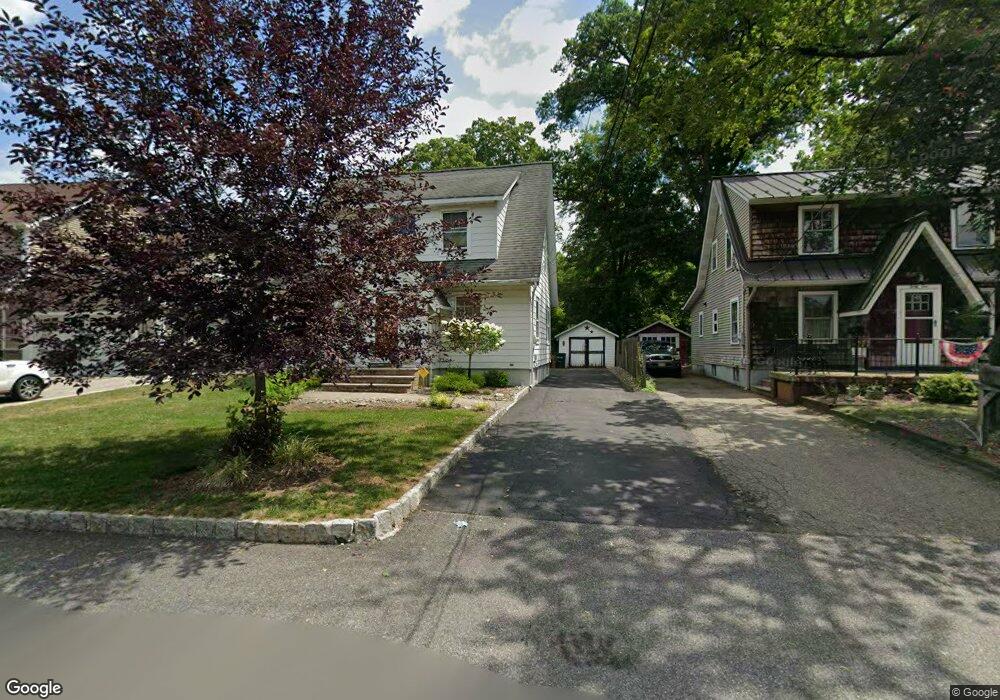
29 Maple Ave Mahwah, NJ 07430
Estimated Value: $476,444 - $756,000
--
Bed
--
Bath
1,107
Sq Ft
$576/Sq Ft
Est. Value
About This Home
This home is located at 29 Maple Ave, Mahwah, NJ 07430 and is currently estimated at $637,361, approximately $575 per square foot. 29 Maple Ave is a home located in Bergen County with nearby schools including Mahwah High School.
Ownership History
Date
Name
Owned For
Owner Type
Purchase Details
Closed on
Jun 5, 2003
Current Estimated Value
Purchase Details
Closed on
Jan 11, 2002
Sold by
Martin Jay
Bought by
Demeo Joseph and Demeo Leslie De
Home Financials for this Owner
Home Financials are based on the most recent Mortgage that was taken out on this home.
Original Mortgage
$200,000
Interest Rate
6.84%
Purchase Details
Closed on
Aug 9, 1998
Sold by
Deperi Charles E and Deperi Marie C
Bought by
Caruso Antonino and Caruso Mary
Home Financials for this Owner
Home Financials are based on the most recent Mortgage that was taken out on this home.
Original Mortgage
$260,000
Interest Rate
6.9%
Purchase Details
Closed on
Aug 22, 1997
Sold by
Dejean David M and Dejean Elizabeth T
Bought by
Martin Jay and Martin Kathleen
Home Financials for this Owner
Home Financials are based on the most recent Mortgage that was taken out on this home.
Original Mortgage
$178,000
Interest Rate
7.42%
Create a Home Valuation Report for This Property
The Home Valuation Report is an in-depth analysis detailing your home's value as well as a comparison with similar homes in the area
Home Values in the Area
Average Home Value in this Area
Purchase History
| Date | Buyer | Sale Price | Title Company |
|---|---|---|---|
| -- | $315,000 | -- | |
| Demeo Joseph | $250,000 | -- | |
| Caruso Antonino | $325,000 | -- | |
| Martin Jay | $187,636 | -- |
Source: Public Records
Mortgage History
| Date | Status | Borrower | Loan Amount |
|---|---|---|---|
| Previous Owner | Demeo Joseph | $200,000 | |
| Previous Owner | Caruso Antonino | $260,000 | |
| Previous Owner | Martin Jay | $178,000 |
Source: Public Records
Tax History Compared to Growth
Tax History
| Year | Tax Paid | Tax Assessment Tax Assessment Total Assessment is a certain percentage of the fair market value that is determined by local assessors to be the total taxable value of land and additions on the property. | Land | Improvement |
|---|---|---|---|---|
| 2025 | $5,562 | $269,500 | $184,600 | $84,900 |
| 2024 | $5,490 | $269,500 | $184,600 | $84,900 |
| 2023 | $5,315 | $269,500 | $184,600 | $84,900 |
| 2022 | $5,315 | $269,500 | $184,600 | $84,900 |
| 2021 | $5,258 | $269,500 | $184,600 | $84,900 |
| 2020 | $5,131 | $269,500 | $184,600 | $84,900 |
| 2019 | $4,962 | $269,500 | $184,600 | $84,900 |
| 2018 | $4,891 | $269,500 | $184,600 | $84,900 |
| 2017 | $4,813 | $269,500 | $184,600 | $84,900 |
| 2016 | $4,708 | $269,500 | $184,600 | $84,900 |
| 2015 | $4,643 | $269,500 | $184,600 | $84,900 |
| 2014 | $4,565 | $269,500 | $184,600 | $84,900 |
Source: Public Records
Map
Nearby Homes
- 111 Moffatt Rd
- 128 Grove St
- 38 N Railroad Ave
- 17 Mountain Ave
- 34 N Railroad Ave
- 14 N Railroad Ave
- 199 Island Rd
- 13 Winter Terrace
- 37 Hillside Ave
- 145 Catherine Ave
- 435 Green Mountain Rd Unit 33
- 136 Catherine Ave
- 2054 Charles Ct
- 2120 Gunston Ct
- 2115 Henry Ct Unit 1
- 2130 Isabelle Ct
- 79 N Ramapo Ave
- 19 Interstate St
- 324 Franklin Turnpike
- 16 Gardner St