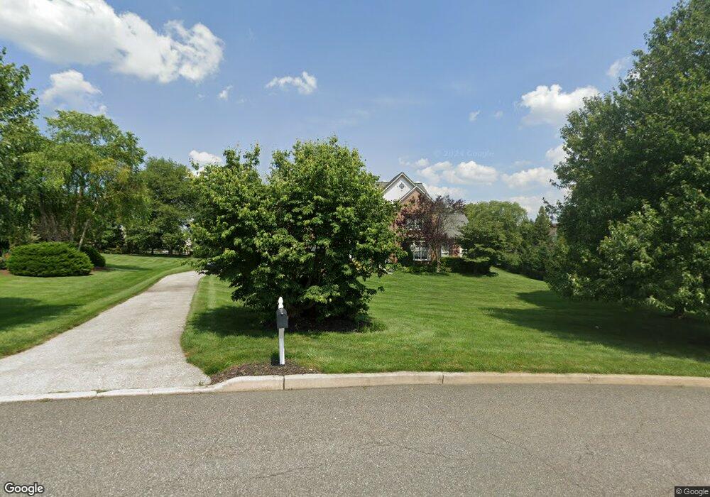
29 Maple Ln Glen Mills, PA 19342
Concord NeighborhoodEstimated Value: $1,131,000 - $1,287,000
4
Beds
4
Baths
4,509
Sq Ft
$260/Sq Ft
Est. Value
About This Home
This home is located at 29 Maple Ln, Glen Mills, PA 19342 and is currently estimated at $1,173,833, approximately $260 per square foot. 29 Maple Ln is a home located in Delaware County with nearby schools including Garnet Valley High School, St Cornelius School, and St. Thomas Apostle School.
Ownership History
Date
Name
Owned For
Owner Type
Purchase Details
Closed on
Jul 20, 1998
Sold by
Treece Mack E and Treece Pamela M
Bought by
Kievit David R and Kievit Elizabeth
Current Estimated Value
Home Financials for this Owner
Home Financials are based on the most recent Mortgage that was taken out on this home.
Original Mortgage
$110,000
Outstanding Balance
$22,354
Interest Rate
6.92%
Estimated Equity
$1,151,479
Create a Home Valuation Report for This Property
The Home Valuation Report is an in-depth analysis detailing your home's value as well as a comparison with similar homes in the area
Home Values in the Area
Average Home Value in this Area
Purchase History
| Date | Buyer | Sale Price | Title Company |
|---|---|---|---|
| Kievit David R | $430,000 | Commonwealth Land Title Ins |
Source: Public Records
Mortgage History
| Date | Status | Borrower | Loan Amount |
|---|---|---|---|
| Open | Kievit David R | $110,000 | |
| Closed | Kievit David R | $100,000 |
Source: Public Records
Tax History
| Year | Tax Paid | Tax Assessment Tax Assessment Total Assessment is a certain percentage of the fair market value that is determined by local assessors to be the total taxable value of land and additions on the property. | Land | Improvement |
|---|---|---|---|---|
| 2025 | $15,797 | $693,840 | $230,700 | $463,140 |
| 2024 | $15,797 | $693,840 | $230,700 | $463,140 |
| 2023 | $15,403 | $693,840 | $230,700 | $463,140 |
| 2022 | $15,233 | $693,840 | $230,700 | $463,140 |
| 2021 | $25,614 | $693,840 | $230,700 | $463,140 |
| 2020 | $16,056 | $406,330 | $91,310 | $315,020 |
| 2019 | $15,818 | $406,330 | $91,310 | $315,020 |
| 2018 | $15,575 | $406,330 | $0 | $0 |
| 2017 | $15,258 | $406,330 | $0 | $0 |
| 2016 | $2,230 | $406,330 | $0 | $0 |
| 2015 | $2,275 | $406,330 | $0 | $0 |
| 2014 | $2,275 | $406,330 | $0 | $0 |
Source: Public Records
Map
Nearby Homes
- 131 Foxmask Turn Unit 14
- 21 Hunters Way Unit 120
- 32 Woodsview Dr
- 406 Hunting Card Ln Unit 157
- 2203 William Campbell Way Unit 345
- 529 Fox Den Ct Unit 184
- 153 Kirk Rd
- 1806 Red Fox Ln Unit 360
- 66 Kirk Rd
- 1505 N Hunting Horn Turn Unit 294
- 64 Kirk Rd
- 37 Kirk Rd
- 1078 Smithbridge Rd
- 124 S Buck Tavern Way Unit 10903
- 117 S Buck Tavern Way
- 106 S Buck Tavern Way
- 123 S Buck Tavern Way Unit 11404
- 129 S Buck Tavern Way Unit 11504
- 135 S Buck Tavern Way Unit 11501
- 1168 Naamans Creek Rd
- 31 Maple Ln
- 14 Eavenson Way
- 30 Maple Ln
- 10 Eavenson Way
- 19 Woodside Farm Dr
- 24 Maple Ln
- 33 Maple Ln
- 21 Woodside Farm Dr
- 21 Woodside Farm Rd
- 17 Woodside Farm Dr
- 2 Hickory Dr
- 4 Eavenson Way
- 15 Woodside Farm Dr
- 11 Woodside Farm Dr
- 11 Woodside Farm Dr
- 15 Eavenson Way
- 22 Maple Ln
- 35 Maple Ln
- 23 Woodside Farm Dr
- 13 Eavenson Way
Your Personal Tour Guide
Ask me questions while you tour the home.