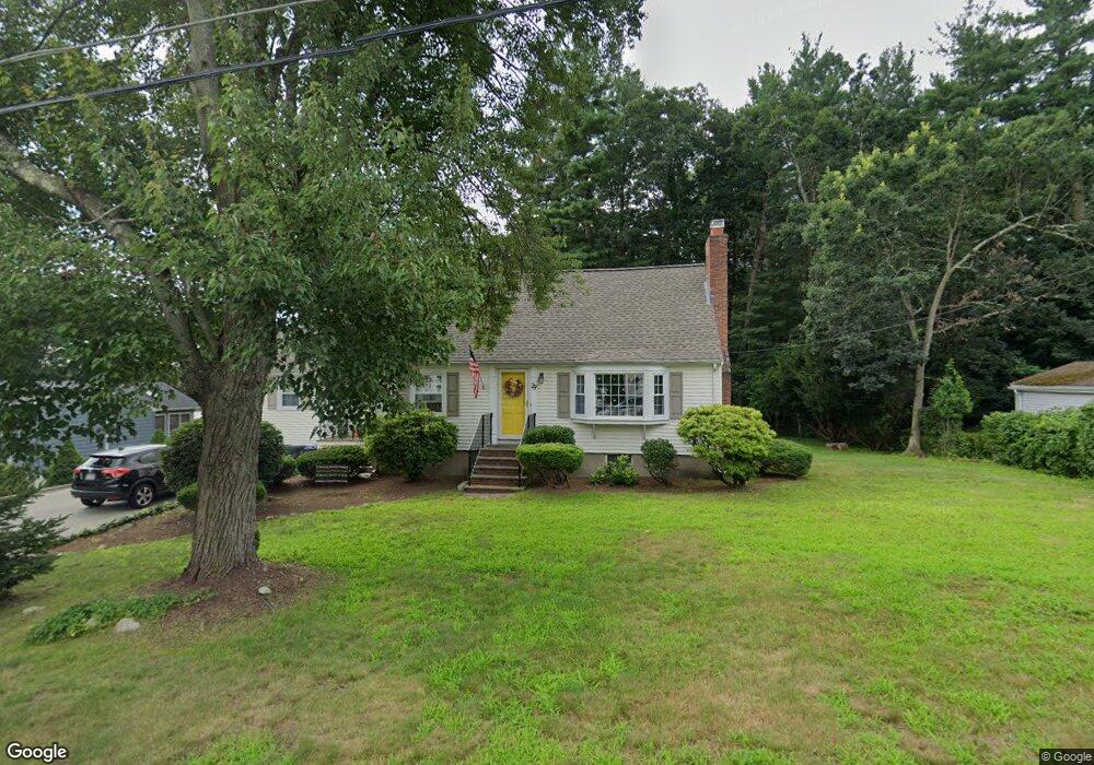
29 Marcus Rd Wilmington, MA 01887
Estimated Value: $582,000 - $757,912
3
Beds
2
Baths
1,855
Sq Ft
$375/Sq Ft
Est. Value
About This Home
This home is located at 29 Marcus Rd, Wilmington, MA 01887 and is currently estimated at $695,228, approximately $374 per square foot. 29 Marcus Rd is a home located in Middlesex County with nearby schools including Wilmington Middle School, Wilmington High School, and N Reading Knowledge Beginnings.
Ownership History
Date
Name
Owned For
Owner Type
Purchase Details
Closed on
Sep 11, 2020
Sold by
White Nt
Bought by
Sheehan Sarah J and Sheehan Daniel M
Current Estimated Value
Home Financials for this Owner
Home Financials are based on the most recent Mortgage that was taken out on this home.
Original Mortgage
$200,000
Outstanding Balance
$177,158
Interest Rate
2.8%
Mortgage Type
New Conventional
Estimated Equity
$518,070
Create a Home Valuation Report for This Property
The Home Valuation Report is an in-depth analysis detailing your home's value as well as a comparison with similar homes in the area
Purchase History
| Date | Buyer | Sale Price | Title Company |
|---|---|---|---|
| Sheehan Sarah J | $450,000 | None Available |
Source: Public Records
Mortgage History
| Date | Status | Borrower | Loan Amount |
|---|---|---|---|
| Open | Sheehan Sarah J | $200,000 |
Source: Public Records
Tax History
| Year | Tax Paid | Tax Assessment Tax Assessment Total Assessment is a certain percentage of the fair market value that is determined by local assessors to be the total taxable value of land and additions on the property. | Land | Improvement |
|---|---|---|---|---|
| 2025 | $7,546 | $659,000 | $306,000 | $353,000 |
| 2024 | $7,170 | $627,300 | $306,000 | $321,300 |
| 2023 | $7,103 | $594,900 | $278,300 | $316,600 |
| 2022 | $6,886 | $528,500 | $231,800 | $296,700 |
| 2021 | $6,726 | $486,000 | $210,700 | $275,300 |
| 2020 | $6,575 | $484,200 | $210,700 | $273,500 |
| 2019 | $4,976 | $474,800 | $200,600 | $274,200 |
| 2018 | $6,404 | $444,400 | $191,100 | $253,300 |
| 2017 | $6,147 | $425,400 | $191,100 | $234,300 |
| 2016 | $5,763 | $393,900 | $182,100 | $211,800 |
| 2015 | $5,486 | $381,800 | $182,100 | $199,700 |
| 2014 | $5,192 | $364,600 | $173,500 | $191,100 |
Source: Public Records
Map
Nearby Homes
- 41 Marcus Rd
- 21 Marcia Rd
- 17 Carson Ave
- 10 Pilling Rd
- 15 Mystic Ave
- 9 Marie Dr
- 12 Hamlin Ln
- 280 Martins Landing Unit 312
- 220 Martins Landing Unit 309
- 260 Martins Landing Unit 508
- 200 Martins Landing Unit 102
- 250 Martins Landing Unit 402
- 320 Martins Landing Unit 401
- 320 Martins Landing Unit 2410
- 320 Martins Landing Unit 502
- 320 Martins Landing Unit 102
- 320 Martins Landing Unit 107
- 320 Martins Landing Unit 404
- 320 Martins Landing Unit 209
- 28 Nutter Rd
Your Personal Tour Guide
Ask me questions while you tour the home.