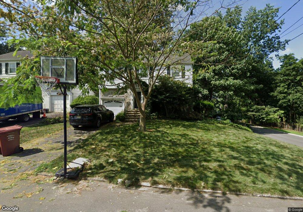
29 May Place Nutley, NJ 07110
Estimated Value: $658,481 - $843,000
--
Bed
--
Bath
1,630
Sq Ft
$472/Sq Ft
Est. Value
About This Home
This home is located at 29 May Place, Nutley, NJ 07110 and is currently estimated at $769,870, approximately $472 per square foot. 29 May Place is a home located in Essex County with nearby schools including Nutley High School, Abundant Life Academy, and St Clare Elementary School.
Ownership History
Date
Name
Owned For
Owner Type
Purchase Details
Closed on
Apr 3, 2007
Sold by
Colgero Michael
Bought by
Snowdon John and Snowdon Lauren
Current Estimated Value
Home Financials for this Owner
Home Financials are based on the most recent Mortgage that was taken out on this home.
Original Mortgage
$325,000
Outstanding Balance
$197,475
Interest Rate
6.24%
Mortgage Type
New Conventional
Estimated Equity
$572,396
Purchase Details
Closed on
Jun 24, 2004
Sold by
Marrazza Anthony
Bought by
Colgero Michael and Helsel Mary
Home Financials for this Owner
Home Financials are based on the most recent Mortgage that was taken out on this home.
Original Mortgage
$361,000
Interest Rate
6.32%
Create a Home Valuation Report for This Property
The Home Valuation Report is an in-depth analysis detailing your home's value as well as a comparison with similar homes in the area
Home Values in the Area
Average Home Value in this Area
Purchase History
| Date | Buyer | Sale Price | Title Company |
|---|---|---|---|
| Snowdon John | $475,000 | -- | |
| Colgero Michael | $380,000 | -- |
Source: Public Records
Mortgage History
| Date | Status | Borrower | Loan Amount |
|---|---|---|---|
| Open | Snowdon John | $325,000 | |
| Previous Owner | Colgero Michael | $361,000 |
Source: Public Records
Tax History Compared to Growth
Tax History
| Year | Tax Paid | Tax Assessment Tax Assessment Total Assessment is a certain percentage of the fair market value that is determined by local assessors to be the total taxable value of land and additions on the property. | Land | Improvement |
|---|---|---|---|---|
| 2025 | $13,354 | $518,400 | $256,100 | $262,300 |
| 2024 | $13,354 | $518,400 | $256,100 | $262,300 |
| 2022 | $14,533 | $376,100 | $163,200 | $212,900 |
| 2021 | $14,457 | $376,100 | $163,200 | $212,900 |
| 2020 | $13,848 | $376,100 | $163,200 | $212,900 |
| 2019 | $13,570 | $376,100 | $163,200 | $212,900 |
| 2018 | $13,205 | $376,100 | $163,200 | $212,900 |
| 2017 | $13,062 | $376,100 | $163,200 | $212,900 |
| 2016 | $12,675 | $376,100 | $163,200 | $212,900 |
| 2015 | $12,471 | $376,100 | $163,200 | $212,900 |
| 2014 | $12,314 | $376,100 | $163,200 | $212,900 |
Source: Public Records
Map
Nearby Homes
- 288 Whitford Ave
- 19 Howe Ave
- 63 Lakeside Dr
- 532 Passaic Ave
- 97 Satterthwaite Ave
- 688 Passaic Ave
- 303 Wilshire Dr
- 132 Brookfield Ave
- 296 Highfield Ln
- 206 Barringer Dr Unit 2071
- 206 Barringer Dr
- 197 Nutley Ave
- 201 Regents Dr Unit 81
- 162 Walnut St
- 509 Coventry Dr
- 20 Saint Pauls Place
- 595 Hartford Dr
- 462 D River Rd Unit D