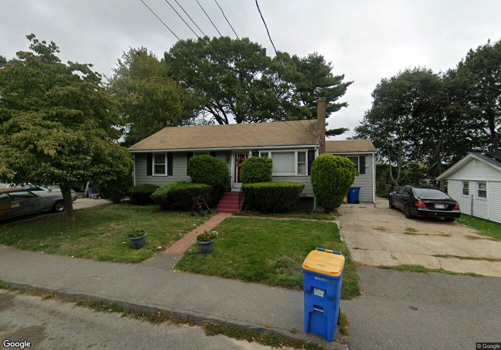
29 Mcauliffe Rd Randolph, MA 02368
North Randolph NeighborhoodEstimated Value: $517,000 - $543,000
4
Beds
1
Bath
1,160
Sq Ft
$455/Sq Ft
Est. Value
About This Home
This home is located at 29 Mcauliffe Rd, Randolph, MA 02368 and is currently estimated at $528,194, approximately $455 per square foot. 29 Mcauliffe Rd is a home located in Norfolk County with nearby schools including Randolph High School, Lighthouse Baptist Christian Academy, and Thayer Academy.
Create a Home Valuation Report for This Property
The Home Valuation Report is an in-depth analysis detailing your home's value as well as a comparison with similar homes in the area
Home Values in the Area
Average Home Value in this Area
Tax History
| Year | Tax Paid | Tax Assessment Tax Assessment Total Assessment is a certain percentage of the fair market value that is determined by local assessors to be the total taxable value of land and additions on the property. | Land | Improvement |
|---|---|---|---|---|
| 2025 | $5,279 | $454,700 | $225,100 | $229,600 |
| 2024 | $4,921 | $429,800 | $220,700 | $209,100 |
| 2023 | $4,761 | $394,100 | $200,600 | $193,500 |
| 2022 | $4,639 | $341,100 | $167,100 | $174,000 |
| 2021 | $4,558 | $308,400 | $139,300 | $169,100 |
| 2020 | $4,439 | $297,700 | $139,300 | $158,400 |
| 2019 | $4,361 | $291,100 | $132,700 | $158,400 |
| 2018 | $4,092 | $257,700 | $120,600 | $137,100 |
| 2017 | $3,833 | $236,900 | $114,800 | $122,100 |
| 2016 | $3,732 | $214,600 | $104,400 | $110,200 |
| 2015 | $3,631 | $200,600 | $99,400 | $101,200 |
Source: Public Records
Map
Nearby Homes
- 12 Brewster Rd
- 469 North St
- 661 North St
- 700 North St
- 4 Powdrell Ave
- 591 N Main St
- 614 Pond St Unit 2104
- 34 Orchard St
- 54 Jasper Ln
- 16 Grove Square Unit 16
- 20 Simmonds Blvd Unit 20
- 18 Simmonds Blvd Unit 18
- 8 Simmonds Blvd Unit 8
- 22 Simmonds Blvd Unit 22
- 10 Simmonds Blvd Unit 10
- 24 Simmonds Blvd Unit 24
- 6 Simmonds Blvd Unit 6
- 43 West St Unit A2
- 10 Alfred Terrace
- 875 N Main St
Your Personal Tour Guide
Ask me questions while you tour the home.