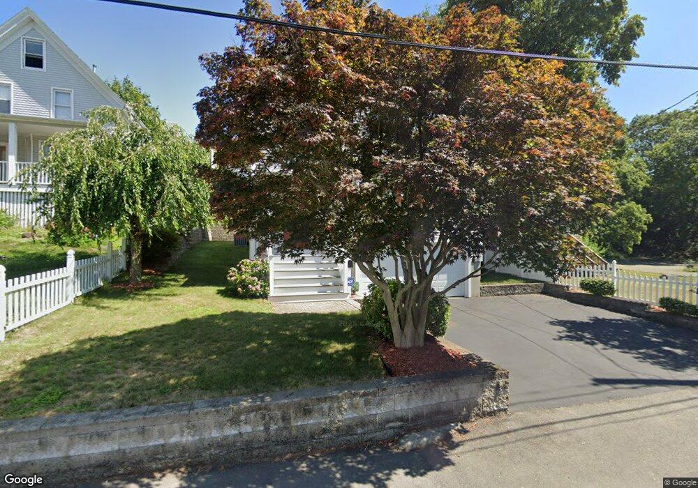
29 McDonald St Quincy, MA 02169
South Quincy NeighborhoodEstimated Value: $1,012,026 - $1,165,000
4
Beds
3
Baths
2,400
Sq Ft
$447/Sq Ft
Est. Value
About This Home
This home is located at 29 McDonald St, Quincy, MA 02169 and is currently estimated at $1,072,007, approximately $446 per square foot. 29 McDonald St is a home located in Norfolk County with nearby schools including South West Middle School, Lincoln-Hancock Community School, and Quincy High School.
Ownership History
Date
Name
Owned For
Owner Type
Purchase Details
Closed on
Jun 7, 2016
Sold by
Mei Tony and Mei Yan
Bought by
Mei Jason
Current Estimated Value
Home Financials for this Owner
Home Financials are based on the most recent Mortgage that was taken out on this home.
Original Mortgage
$230,000
Outstanding Balance
$143,724
Interest Rate
3.59%
Mortgage Type
New Conventional
Estimated Equity
$928,283
Purchase Details
Closed on
Jun 27, 2007
Sold by
Michael Obrien Constr
Bought by
Mei Tony and Mei Yan
Home Financials for this Owner
Home Financials are based on the most recent Mortgage that was taken out on this home.
Original Mortgage
$240,000
Interest Rate
6.24%
Mortgage Type
Purchase Money Mortgage
Purchase Details
Closed on
Oct 14, 2005
Sold by
Lang Feng Z and Lang George N
Bought by
Michael Obrien Constr
Home Financials for this Owner
Home Financials are based on the most recent Mortgage that was taken out on this home.
Original Mortgage
$377,400
Interest Rate
5.78%
Mortgage Type
Purchase Money Mortgage
Create a Home Valuation Report for This Property
The Home Valuation Report is an in-depth analysis detailing your home's value as well as a comparison with similar homes in the area
Home Values in the Area
Average Home Value in this Area
Purchase History
| Date | Buyer | Sale Price | Title Company |
|---|---|---|---|
| Mei Jason | $630,000 | -- | |
| Mei Tony | $525,000 | -- | |
| Michael Obrien Constr | $178,000 | -- |
Source: Public Records
Mortgage History
| Date | Status | Borrower | Loan Amount |
|---|---|---|---|
| Open | Mei Jason | $230,000 | |
| Previous Owner | Mei Tony | $240,000 | |
| Previous Owner | Michael Obrien Constr | $377,400 |
Source: Public Records
Tax History Compared to Growth
Tax History
| Year | Tax Paid | Tax Assessment Tax Assessment Total Assessment is a certain percentage of the fair market value that is determined by local assessors to be the total taxable value of land and additions on the property. | Land | Improvement |
|---|---|---|---|---|
| 2025 | $10,781 | $935,000 | $269,100 | $665,900 |
| 2024 | $10,105 | $896,600 | $256,300 | $640,300 |
| 2023 | $9,338 | $839,000 | $233,000 | $606,000 |
| 2022 | $9,888 | $825,400 | $194,100 | $631,300 |
| 2021 | $8,970 | $738,900 | $194,100 | $544,800 |
| 2020 | $9,120 | $733,700 | $194,100 | $539,600 |
| 2019 | $8,947 | $712,900 | $183,200 | $529,700 |
| 2018 | $8,634 | $647,200 | $169,600 | $477,600 |
| 2017 | $8,556 | $603,800 | $161,600 | $442,200 |
| 2016 | $7,786 | $542,200 | $140,500 | $401,700 |
| 2015 | $7,526 | $515,500 | $140,500 | $375,000 |
| 2014 | $7,170 | $482,500 | $140,500 | $342,000 |
Source: Public Records
Map
Nearby Homes
- 57 Buckley St
- 46-48 Buckley St
- 14 Arthur Ave
- 21 Arthur St
- 12 Arthur Ave
- 91 Garfield St
- 211 Copeland St
- 46 Suomi Rd
- 46 Suomi Rd Unit 46
- 211 West St Unit 12B
- 510 Willard St
- 64 Garfield St Unit B
- 21 Totman St Unit 202
- 21 Totman St Unit 309
- 21 Totman St Unit Model-1
- 21 Totman St Unit 209
- 21 Totman St Unit 203
- 21 Totman St Unit 2
- 94 Brook Rd Unit 3
- 118 Brook Rd Unit 2
- 33 McDonald St
- 25 McDonald St
- 9 Hill St
- 28 McDonald St
- 15 Hill St
- 32 McDonald St
- 24 McDonald St
- 39 McDonald St
- 39 McDonald St Unit 39
- 39 McDonald St Unit 41
- 39 McDonald St Unit 2
- 38 McDonald St
- 19 McDonald St
- 8 Hill St
- 17 Hill St
- 17 Hill St Unit 2
- 10-14 McDonald St
- 12 Hill St
- 13 McDonald St
- 20 Station St