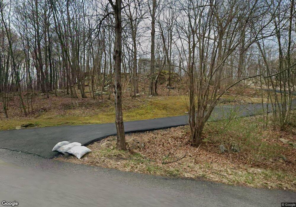
29 Melinda Ln Hewitt, NJ 07421
Estimated Value: $507,000 - $564,234
--
Bed
--
Bath
1,728
Sq Ft
$315/Sq Ft
Est. Value
About This Home
This home is located at 29 Melinda Ln, Hewitt, NJ 07421 and is currently estimated at $544,809, approximately $315 per square foot. 29 Melinda Ln is a home located in Sussex County with nearby schools including Macopin Middle School and West Milford High School.
Ownership History
Date
Name
Owned For
Owner Type
Purchase Details
Closed on
Sep 30, 1994
Sold by
Blood George
Bought by
Sasmon Peter and Sasmon Joann
Current Estimated Value
Home Financials for this Owner
Home Financials are based on the most recent Mortgage that was taken out on this home.
Original Mortgage
$170,000
Interest Rate
8.96%
Create a Home Valuation Report for This Property
The Home Valuation Report is an in-depth analysis detailing your home's value as well as a comparison with similar homes in the area
Home Values in the Area
Average Home Value in this Area
Purchase History
| Date | Buyer | Sale Price | Title Company |
|---|---|---|---|
| Sasmon Peter | $197,000 | -- |
Source: Public Records
Mortgage History
| Date | Status | Borrower | Loan Amount |
|---|---|---|---|
| Previous Owner | Sasmon Peter | $170,000 |
Source: Public Records
Tax History Compared to Growth
Tax History
| Year | Tax Paid | Tax Assessment Tax Assessment Total Assessment is a certain percentage of the fair market value that is determined by local assessors to be the total taxable value of land and additions on the property. | Land | Improvement |
|---|---|---|---|---|
| 2025 | $13,917 | $343,300 | $153,500 | $189,800 |
| 2024 | $13,989 | $343,300 | $153,500 | $189,800 |
| 2022 | $13,212 | $331,200 | $153,500 | $177,700 |
| 2021 | $12,536 | $331,200 | $153,500 | $177,700 |
| 2020 | $12,403 | $331,200 | $153,500 | $177,700 |
| 2019 | $12,238 | $331,200 | $153,500 | $177,700 |
| 2018 | $12,208 | $331,200 | $153,500 | $177,700 |
| 2017 | $12,264 | $331,200 | $153,500 | $177,700 |
| 2016 | $12,284 | $331,200 | $153,500 | $177,700 |
| 2015 | $12,142 | $331,200 | $153,500 | $177,700 |
| 2014 | $13,160 | $367,900 | $170,600 | $197,300 |
Source: Public Records
Map
Nearby Homes
- 109 Fairlawn Dr
- 74 Riverside Rd
- 40 Kingsland Rd
- 424 Lake Shore Dr
- 36 Morsemere Rd
- 0 Gladstone Rd
- 3 Riverside Rd
- 00 Fairlawn Dr
- 43 Hampton Rd
- 16 Hampton Rd
- 7 Chatham Rd
- 00 Linwood Rd
- 147 Papscoe Rd
- 96 Papscoe Rd
- 360 Lake Shore Dr
- 40 Upper Greenwood Lake Rd
- 40 Upper Greenwood Rd
- 28 Risley Rd
- 0 Kresson Rd
- 00 Jenkins Rd
- 19 Melinda Ln
- 43 Melinda Ln
- 40 Melinda Ln
- 46 Melinda Ln
- 9 Melinda Ln
- 185 Longhouse Dr
- 200 Longhouse Dr
- 220 Longhouse Dr
- 224 Longhouse Dr
- 91 Longhouse Dr
- 11 Castle Rock Rd
- 240 Longhouse Dr
- 25 Castle Rock Rd
- 85 Longhouse Dr
- 41 Castle Rock Rd
- 0 Castle Rock Rd Unit 3612342
- 0 Castle Rock Rd Unit 3229692
- 0 Castle Rock Rd Unit 3394764
- 0 Castle Rock Rd Unit 3490473
- 75 Longhouse Dr