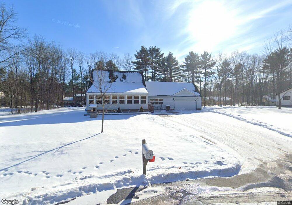
29 Michael Rd Fort Edward, NY 12828
Moreau NeighborhoodEstimated Value: $352,000 - $388,000
4
Beds
2
Baths
1,664
Sq Ft
$223/Sq Ft
Est. Value
About This Home
This home is located at 29 Michael Rd, Fort Edward, NY 12828 and is currently estimated at $371,425, approximately $223 per square foot. 29 Michael Rd is a home located in Saratoga County.
Create a Home Valuation Report for This Property
The Home Valuation Report is an in-depth analysis detailing your home's value as well as a comparison with similar homes in the area
Home Values in the Area
Average Home Value in this Area
Tax History
| Year | Tax Paid | Tax Assessment Tax Assessment Total Assessment is a certain percentage of the fair market value that is determined by local assessors to be the total taxable value of land and additions on the property. | Land | Improvement |
|---|---|---|---|---|
| 2025 | $3,821 | $312,000 | $60,000 | $252,000 |
| 2024 | $3,206 | $292,000 | $55,000 | $237,000 |
| 2023 | $3,192 | $273,000 | $55,000 | $218,000 |
| 2022 | $3,064 | $248,000 | $44,200 | $203,800 |
| 2021 | $3,028 | $230,000 | $44,200 | $185,800 |
| 2020 | $2,740 | $210,000 | $44,200 | $165,800 |
| 2019 | $1,973 | $210,000 | $44,200 | $165,800 |
| 2018 | $1,944 | $210,000 | $44,200 | $165,800 |
| 2017 | $693 | $210,000 | $44,200 | $165,800 |
| 2016 | $693 | $210,000 | $44,200 | $165,800 |
| 2015 | $695 | $210,000 | $44,200 | $165,800 |
| 2014 | $556 | $210,000 | $44,200 | $165,800 |
Source: Public Records
Map
Nearby Homes
- 8 Coriander Dr
- 393 Reynolds Rd
- 414 Reynolds Rd
- 478 Selfridge Rd
- 550 E Selfridge Rd
- 126 White Birch Estates
- 347 Diane Ln
- 262 White Birch Estates Unit 262
- 234 White Birch Estates Unit 234
- 364 Gansevoort Rd
- 25 Kimberly Ln
- 330 Selfridge Rd
- 210 Hatchery Rd
- L46A Reynolds Rd
- 170 Redmond Rd Unit 172
- 4 Big Bay Rd
- 344 Fortsville Rd
- 191 Redmond Rd
- 12 Old Bend Rd
- 12 Bluebird Rd
Your Personal Tour Guide
Ask me questions while you tour the home.