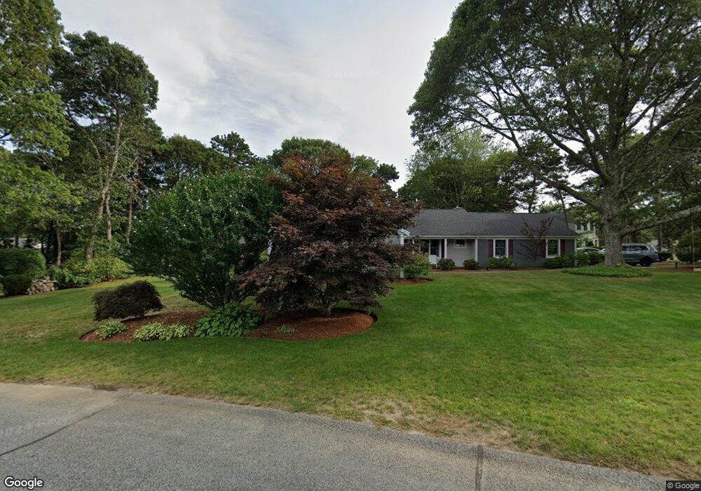
29 Midstream Dr South Yarmouth, MA 02664
South Yarmouth NeighborhoodEstimated Value: $719,000 - $926,000
3
Beds
3
Baths
1,968
Sq Ft
$401/Sq Ft
Est. Value
About This Home
This home is located at 29 Midstream Dr, South Yarmouth, MA 02664 and is currently estimated at $788,383, approximately $400 per square foot. 29 Midstream Dr is a home located in Barnstable County with nearby schools including Dennis-Yarmouth Regional High School and St. Pius X. School.
Ownership History
Date
Name
Owned For
Owner Type
Purchase Details
Closed on
Sep 21, 2010
Sold by
Passalacqua John B and Passalacqua Barbara W
Bought by
Ducharme Dennis M
Current Estimated Value
Home Financials for this Owner
Home Financials are based on the most recent Mortgage that was taken out on this home.
Original Mortgage
$290,000
Outstanding Balance
$192,175
Interest Rate
4.51%
Mortgage Type
Purchase Money Mortgage
Estimated Equity
$596,208
Purchase Details
Closed on
Jan 8, 2004
Sold by
Midstream Rt
Bought by
Passalacqua John B and Passalacqua Barbara W
Create a Home Valuation Report for This Property
The Home Valuation Report is an in-depth analysis detailing your home's value as well as a comparison with similar homes in the area
Home Values in the Area
Average Home Value in this Area
Purchase History
| Date | Buyer | Sale Price | Title Company |
|---|---|---|---|
| Ducharme Dennis M | $365,000 | -- | |
| Passalacqua John B | $439,000 | -- |
Source: Public Records
Mortgage History
| Date | Status | Borrower | Loan Amount |
|---|---|---|---|
| Open | Ducharme Dennis M | $290,000 |
Source: Public Records
Tax History Compared to Growth
Tax History
| Year | Tax Paid | Tax Assessment Tax Assessment Total Assessment is a certain percentage of the fair market value that is determined by local assessors to be the total taxable value of land and additions on the property. | Land | Improvement |
|---|---|---|---|---|
| 2025 | $4,933 | $696,700 | $240,800 | $455,900 |
| 2024 | $4,638 | $628,500 | $209,500 | $419,000 |
| 2023 | $4,453 | $549,100 | $176,800 | $372,300 |
| 2022 | $4,179 | $455,200 | $158,200 | $297,000 |
| 2021 | $3,922 | $410,300 | $158,200 | $252,100 |
| 2020 | $3,755 | $375,500 | $155,700 | $219,800 |
| 2019 | $3,474 | $344,000 | $155,700 | $188,300 |
| 2018 | $3,446 | $334,900 | $146,600 | $188,300 |
| 2017 | $3,356 | $334,900 | $146,600 | $188,300 |
| 2016 | $3,342 | $334,900 | $146,600 | $188,300 |
| 2015 | $3,334 | $332,100 | $146,600 | $185,500 |
Source: Public Records
Map
Nearby Homes
- 85 Keel Cape Dr
- 91 Chipping Green Cir
- 23 Fairwood Rd
- 21 Green Way
- 62 Old Fish House Rd
- 30 Pebble Beach Way
- 1 Country Club Dr
- 6 Hawthorn St
- 17 Fairmount Rd
- 17 Fairmount Rd
- 401 Main St Unit 201
- 401 Main St Unit 101
- 295 Main St
- 7 Vinland Dr
- 293 Main St
- 293 Main St
- 31 Duck Pond Rd
- 10 Joanne Dr
- 1 Norseman Dr
- 25 Skerry Rd
- 40 Keel Cape Dr
- 32 Keel Cape Dr
- 21 Midstream Dr
- 26 Midstream Dr
- 37 Midstream Dr
- 34 Midstream Dr
- 24 Keel Cape Dr
- 50 Keel Cape Dr
- 15 Midstream Dr
- 8 Viking Rock Rd
- 16 Midstream Dr
- 21 Runestone Rd
- 35 Keel Cape Dr
- 40 Midstream Dr
- 29 Keel Cape Dr
- 43 Midstream Dr
- 16 Keel Cape Dr
- 7 Viking Rock Rd
- 56 Keel Cape Dr
- 15 Runestone Rd