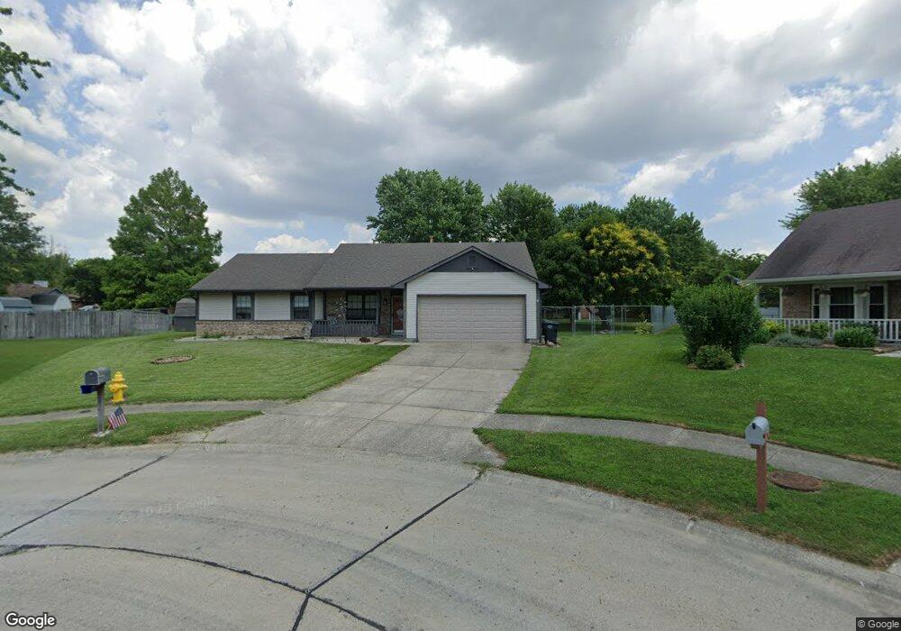
29 Morningside Ct Whiteland, IN 46184
Estimated Value: $249,000 - $266,000
3
Beds
2
Baths
1,510
Sq Ft
$173/Sq Ft
Est. Value
About This Home
This home is located at 29 Morningside Ct, Whiteland, IN 46184 and is currently estimated at $260,740, approximately $172 per square foot. 29 Morningside Ct is a home located in Johnson County with nearby schools including Break-O-Day Elementary School, Clark-Pleasant Middle School, and Whiteland Community High School.
Ownership History
Date
Name
Owned For
Owner Type
Purchase Details
Closed on
May 25, 2007
Sold by
Jones Andrew J and Rodibaugh Kimberly Jo
Bought by
Carwile John J and Carwile Connie G
Current Estimated Value
Home Financials for this Owner
Home Financials are based on the most recent Mortgage that was taken out on this home.
Original Mortgage
$120,900
Outstanding Balance
$73,700
Interest Rate
6.21%
Mortgage Type
New Conventional
Estimated Equity
$187,040
Create a Home Valuation Report for This Property
The Home Valuation Report is an in-depth analysis detailing your home's value as well as a comparison with similar homes in the area
Home Values in the Area
Average Home Value in this Area
Purchase History
| Date | Buyer | Sale Price | Title Company |
|---|---|---|---|
| Carwile John J | -- | Midwest Title Corporation |
Source: Public Records
Mortgage History
| Date | Status | Borrower | Loan Amount |
|---|---|---|---|
| Open | Carwile John J | $120,900 |
Source: Public Records
Tax History Compared to Growth
Tax History
| Year | Tax Paid | Tax Assessment Tax Assessment Total Assessment is a certain percentage of the fair market value that is determined by local assessors to be the total taxable value of land and additions on the property. | Land | Improvement |
|---|---|---|---|---|
| 2025 | $2,161 | $240,800 | $51,000 | $189,800 |
| 2024 | $2,161 | $210,200 | $51,000 | $159,200 |
| 2023 | $2,171 | $207,600 | $51,000 | $156,600 |
| 2022 | $1,916 | $185,700 | $32,000 | $153,700 |
| 2021 | $1,538 | $149,200 | $32,000 | $117,200 |
| 2020 | $1,440 | $136,400 | $26,400 | $110,000 |
| 2019 | $1,375 | $130,200 | $26,400 | $103,800 |
| 2018 | $1,239 | $126,400 | $20,800 | $105,600 |
| 2017 | $1,152 | $112,300 | $20,800 | $91,500 |
| 2016 | $1,143 | $112,300 | $20,800 | $91,500 |
| 2014 | $1,126 | $110,600 | $20,800 | $89,800 |
| 2013 | $1,126 | $109,300 | $17,700 | $91,600 |
Source: Public Records
Map
Nearby Homes
- 733 Hanover Dr
- 1003 Hilltop Commons Blvd
- 652 Mooreland Dr
- 132 Arabian Ct
- 647 Bluestem Cir
- 587 Bluestem Ln
- 240 Shelton Place
- 76 Fernleaf Dr
- 588 Bluestem Ln
- Lincoln Plan at Crossroads at Southport
- Liberty Plan at Crossroads at Southport
- Rushmore Plan at Crossroads at Southport
- Jefferson Plan at Crossroads at Southport
- Washington Plan at Crossroads at Southport
- 0 E 700 N Unit MBR22036500
- 114 Tracy Ridge Blvd
- 135 Bradford Place
- 152 Tracy Ridge Blvd
- 131 Belaire Dr
- 34 Crestwood Dr
- 30 Morningside Ct
- 610 Oakland Way
- 612 Oakland Way
- 608 Oakland Way
- 614 Oakland Way
- 32 Morningside Ct
- 33 Morningside Ct
- 605 Rypma Place
- 606 Oakland Way
- 27 Grassy Dr
- 25 Grassy Dr
- 34 Morningside Ct
- 29 Grassy Dr
- 35 Morningside Ct
- 616 Oakland Way
- 604 Oakland Way
- 606 Rypma Place
- 31 Grassy Dr
- 609 Oakland Way
- 611 Oakland Way