29 Mountain Laurel Ln Lancaster, MA 01523
Estimated Value: $624,000 - $805,000
2
Beds
1
Bath
2,642
Sq Ft
$262/Sq Ft
Est. Value
About This Home
This home is located at 29 Mountain Laurel Ln, Lancaster, MA 01523 and is currently estimated at $691,579, approximately $261 per square foot. 29 Mountain Laurel Ln is a home located in Worcester County with nearby schools including Mary Rowlandson Elementary School, Luther Burbank Middle School, and Nashoba Regional High School.
Ownership History
Date
Name
Owned For
Owner Type
Purchase Details
Closed on
Jun 29, 2006
Sold by
Catalucci Herman J and Catalucci Roberta L
Bought by
29 Mountain Laurel Ln and Andrews Rebecca
Current Estimated Value
Purchase Details
Closed on
Dec 8, 1993
Sold by
Peoples S B
Bought by
Catalucci Herman
Create a Home Valuation Report for This Property
The Home Valuation Report is an in-depth analysis detailing your home's value as well as a comparison with similar homes in the area
Home Values in the Area
Average Home Value in this Area
Purchase History
| Date | Buyer | Sale Price | Title Company |
|---|---|---|---|
| 29 Mountain Laurel Ln | -- | -- | |
| Catalucci Herman | $88,500 | -- | |
| Catalucci Herman | $88,500 | -- |
Source: Public Records
Mortgage History
| Date | Status | Borrower | Loan Amount |
|---|---|---|---|
| Previous Owner | Catalucci Herman | $135,000 |
Source: Public Records
Tax History
| Year | Tax Paid | Tax Assessment Tax Assessment Total Assessment is a certain percentage of the fair market value that is determined by local assessors to be the total taxable value of land and additions on the property. | Land | Improvement |
|---|---|---|---|---|
| 2025 | $9,685 | $599,300 | $262,200 | $337,100 |
| 2024 | $9,535 | $546,100 | $229,800 | $316,300 |
| 2023 | $8,633 | $502,200 | $204,000 | $298,200 |
| 2022 | $8,173 | $420,200 | $195,500 | $224,700 |
| 2021 | $8,078 | $404,300 | $195,500 | $208,800 |
| 2020 | $7,331 | $369,300 | $195,500 | $173,800 |
| 2019 | $7,390 | $374,200 | $195,500 | $178,700 |
| 2018 | $6,795 | $340,100 | $195,500 | $144,600 |
| 2016 | $5,851 | $299,300 | $177,700 | $121,600 |
| 2015 | $5,607 | $298,900 | $177,700 | $121,200 |
| 2014 | $5,541 | $293,000 | $177,700 | $115,300 |
Source: Public Records
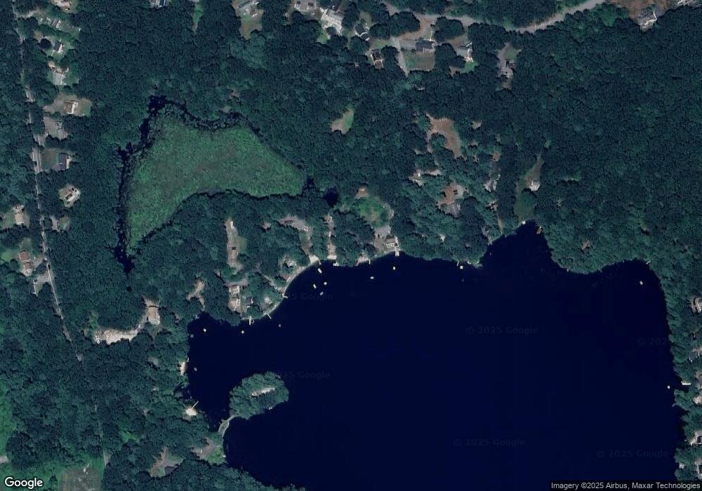
Map
Nearby Homes
- 7 Lawson Ave
- 35 Mcgovern Blvd
- 0 Windsor Rd
- 12 Meditation Ln Unit 12
- 44 Fire Road 12
- 1497 Lunenburg Rd
- 65 Farm Hill Rd
- 437 Johnny Appleseed Ln
- 4 Davis St
- 120 Robbs Hill Rd
- 25 Front St
- 30 Ayer Rd
- 99 Cortland Cir
- 11 Ambrose Way Unit 9
- 43 Ambrose Way Unit 43
- 10 Ambrose Way Unit 10
- 31 Ambrose Way Unit 31
- 34 Ambrose Way Unit 34
- 12 Ambrose Way Unit 12
- 6 Ambrose Way Unit 3
- 0 Mountain Laurel Ln
- 31 Mountain Laurel Ln
- 33 Mountain Laurel Ln
- 25 Mountain Laurel Ln
- 23 Mountain Laurel Ln
- 21 Mountain Laurel Ln
- 19 Mountain Laurel Ln
- 17 Mountain Laurel Ln
- 15 Mountain Laurel Ln
- 11 Perry Rd
- 18 Perry Rd
- 10 Perry Rd
- 23 Perry Rd
- 24 Perry Rd
- 22 Perry Rd
- 2 Perry Rd
- 33 Perry Rd
- 27 Perry Rd
- 25 Perry Rd
- 21 Perry Rd
Your Personal Tour Guide
Ask me questions while you tour the home.