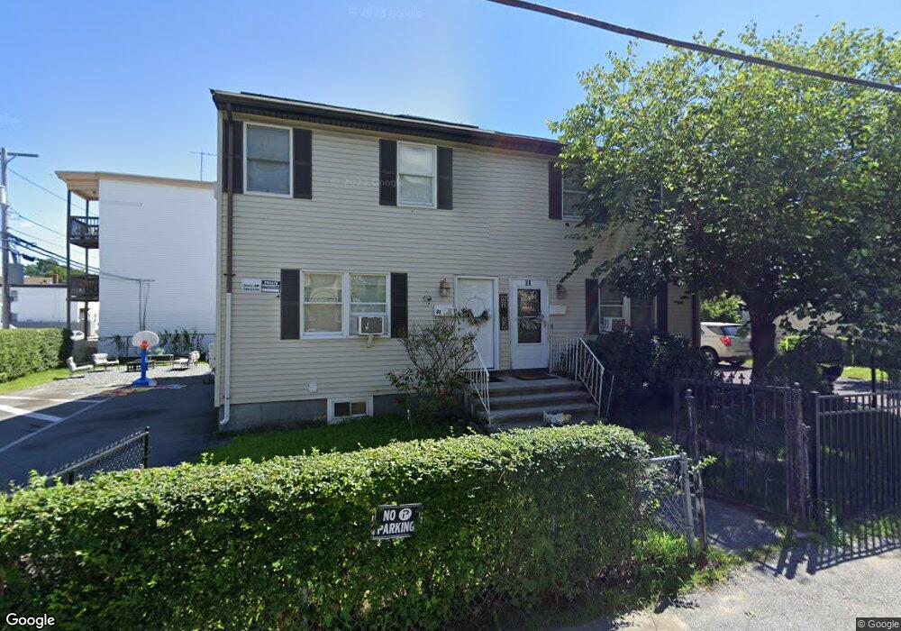
29 Myrtle Ct Unit 31 Lawrence, MA 01841
Arlington NeighborhoodEstimated Value: $440,759 - $811,000
6
Beds
3
Baths
3,294
Sq Ft
$210/Sq Ft
Est. Value
About This Home
This home is located at 29 Myrtle Ct Unit 31, Lawrence, MA 01841 and is currently estimated at $691,440, approximately $209 per square foot. 29 Myrtle Ct Unit 31 is a home located in Essex County with nearby schools including John K Tarbox Elementary School, School For Exceptional Studies, and Central Catholic High School.
Ownership History
Date
Name
Owned For
Owner Type
Purchase Details
Closed on
Nov 1, 1995
Sold by
Bread&Roses Hsg Inc
Bought by
Nouel Rafael
Current Estimated Value
Home Financials for this Owner
Home Financials are based on the most recent Mortgage that was taken out on this home.
Original Mortgage
$49,500
Outstanding Balance
$691
Interest Rate
7.58%
Mortgage Type
Purchase Money Mortgage
Estimated Equity
$690,749
Purchase Details
Closed on
Feb 9, 1990
Sold by
P & R Rlty
Bought by
Bread & Roses Hsg
Create a Home Valuation Report for This Property
The Home Valuation Report is an in-depth analysis detailing your home's value as well as a comparison with similar homes in the area
Home Values in the Area
Average Home Value in this Area
Purchase History
| Date | Buyer | Sale Price | Title Company |
|---|---|---|---|
| Nouel Rafael | $50,000 | -- | |
| Bread & Roses Hsg | $17,500 | -- |
Source: Public Records
Mortgage History
| Date | Status | Borrower | Loan Amount |
|---|---|---|---|
| Open | Bread & Roses Hsg | $49,500 |
Source: Public Records
Tax History
| Year | Tax Paid | Tax Assessment Tax Assessment Total Assessment is a certain percentage of the fair market value that is determined by local assessors to be the total taxable value of land and additions on the property. | Land | Improvement |
|---|---|---|---|---|
| 2025 | $1,769 | $201,000 | $65,000 | $136,000 |
| 2024 | $1,859 | $201,000 | $68,200 | $132,800 |
| 2023 | $1,382 | $136,000 | $65,900 | $70,100 |
| 2022 | $1,556 | $136,000 | $62,100 | $73,900 |
| 2021 | $1,607 | $131,000 | $62,100 | $68,900 |
| 2020 | $1,628 | $131,000 | $51,700 | $79,300 |
| 2019 | $1,792 | $131,000 | $38,500 | $92,500 |
| 2018 | $1,876 | $131,000 | $34,900 | $96,100 |
| 2017 | $2,010 | $131,000 | $33,000 | $98,000 |
| 2016 | $2,032 | $131,000 | $25,800 | $105,200 |
| 2015 | $1,981 | $131,000 | $25,800 | $105,200 |
Source: Public Records
Map
Nearby Homes
- 7-9 Bennington St
- 27 Willow St Unit A
- 434-438 Hampshire St
- 10 Holly St
- 131A Lawrence St Unit 40
- 129-131 Lexington St
- 36 Manchester St
- 29-31 Washington St
- 324-326 Broadway
- 179-181 West St
- 29 Center St
- 202 Broadway Unit 3-2
- 202 Broadway Unit 3-3
- 71-75 Common St
- 46 Amesbury St Unit 2B
- 42 Morton St
- 11 Lawrence St Unit 606
- 5 Kendrick St
- 23 Chase St
- 192 Union St
- 98 Myrtle St
- 94 Myrtle St
- 27 Myrtle Ct
- 99 Myrtle St Unit 1
- 99 Myrtle St Unit 2
- 97-99 Myrtle St
- 95 Myrtle St
- 14 Alma St Unit 16
- 101 Myrtle St
- 108-110 Myrtle St
- 97 Myrtle St Unit 99
- 97 Myrtle St Unit 1
- 00000 Confidential
- 91 Myrtle St Unit 93
- 111 Myrtle St
- 9 Myrtle Ct
- 103 Myrtle St Unit 105
- 89 Myrtle St
- 88 Myrtle St
- 109 Myrtle St Unit 113
Your Personal Tour Guide
Ask me questions while you tour the home.