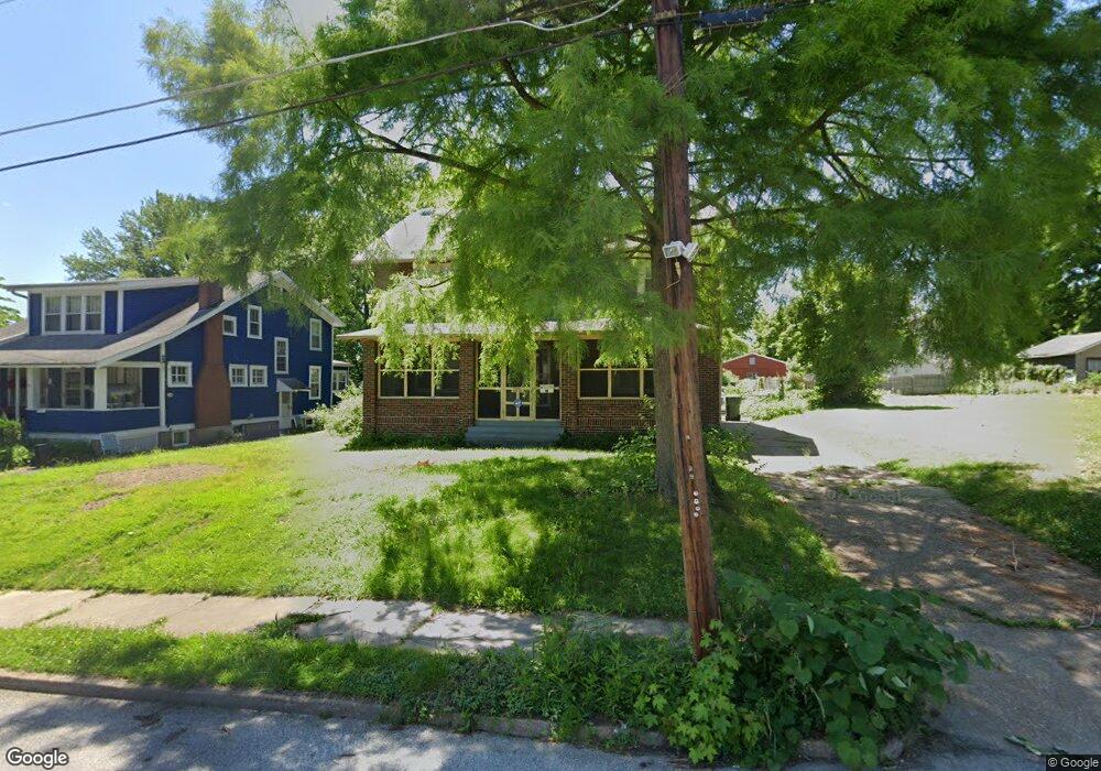
29 N Maple Ave Ferguson, MO 63135
Estimated Value: $204,670 - $270,000
4
Beds
2
Baths
2,340
Sq Ft
$101/Sq Ft
Est. Value
About This Home
This home is located at 29 N Maple Ave, Ferguson, MO 63135 and is currently estimated at $235,918, approximately $100 per square foot. 29 N Maple Ave is a home located in St. Louis County with nearby schools including Vogt Elementary School, Ferguson Middle School, and McCluer High School.
Ownership History
Date
Name
Owned For
Owner Type
Purchase Details
Closed on
Jan 3, 2001
Sold by
Armbruster Lillian F and Armbruster Paul H
Bought by
Armbruster David J and Armbruster Lisa Bell
Current Estimated Value
Purchase Details
Closed on
Dec 21, 2000
Sold by
Armbruster Lillian F and Armbruster Paul H
Bought by
Hayden Paul H and Armbruster Lillian F
Purchase Details
Closed on
Aug 25, 1998
Sold by
Armbruster Lillian F
Bought by
Armbruster David J
Create a Home Valuation Report for This Property
The Home Valuation Report is an in-depth analysis detailing your home's value as well as a comparison with similar homes in the area
Home Values in the Area
Average Home Value in this Area
Purchase History
| Date | Buyer | Sale Price | Title Company |
|---|---|---|---|
| Armbruster David J | -- | -- | |
| Hayden Paul H | -- | -- | |
| Armbruster David J | -- | -- |
Source: Public Records
Tax History
| Year | Tax Paid | Tax Assessment Tax Assessment Total Assessment is a certain percentage of the fair market value that is determined by local assessors to be the total taxable value of land and additions on the property. | Land | Improvement |
|---|---|---|---|---|
| 2025 | $2,521 | $37,720 | $5,970 | $31,750 |
| 2024 | $2,521 | $34,980 | $3,420 | $31,560 |
| 2023 | $2,507 | $34,980 | $3,420 | $31,560 |
| 2022 | $2,546 | $30,970 | $3,930 | $27,040 |
| 2021 | $2,463 | $30,970 | $3,930 | $27,040 |
| 2020 | $2,300 | $25,980 | $2,890 | $23,090 |
| 2019 | $2,257 | $25,980 | $2,890 | $23,090 |
| 2018 | $2,193 | $22,520 | $2,550 | $19,970 |
| 2016 | $1,938 | $19,950 | $2,550 | $17,400 |
Source: Public Records
Map
Nearby Homes
- 26 N Maple Ave
- 320 Church St
- 426 Darst Rd
- 422 Adams St
- 206 Thoroughman Ave
- 212 Millman Dr
- 127 Thoroughman Ave
- 406 Teston Dr
- 435 N Clay Ave
- 715 Forest Ave
- 308 Superior Dr
- 141 S Barat Ave
- 115 Lawrence Ave
- 45 Beacon Ave
- 35 Robert Ave
- 237 S Barat Ave
- 411 Warford Ave
- 716 Nancy Place
- 405 Estelle Ave
- 439 Warford Ave
- 39 N Maple Ave
- 25 N Maple Ave
- 21 N Maple Ave
- 45 N Maple Ave
- 38 Almeda Place
- 34 Almeda Place
- 34 N Maple Ave
- 38 N Maple Ave
- 28 Almeda Place
- 40 N Maple Ave
- 42 Almeda Place
- 7710 Nital 7755 Ct
- 10543 Chardonniere
- 18 N Maple Ave
- 48 N Maple Ave
- 301 Church St
- 305 Church St
- 37 Almeda Place
- 29 Almeda Place
- 311 Church St
Your Personal Tour Guide
Ask me questions while you tour the home.