29 Notta Rd West Bath, ME 04530
Estimated Value: $1,482,000 - $1,931,196
4
Beds
4
Baths
3,758
Sq Ft
$453/Sq Ft
Est. Value
About This Home
This home is located at 29 Notta Rd, West Bath, ME 04530 and is currently estimated at $1,703,065, approximately $453 per square foot. 29 Notta Rd is a home located in Sagadahoc County with nearby schools including Morse High School.
Ownership History
Date
Name
Owned For
Owner Type
Purchase Details
Closed on
Jul 21, 2025
Sold by
Nathaniel W Hyde Ret and Arnoff
Bought by
Polly P Arnoff T P and Polly Arnoff
Current Estimated Value
Purchase Details
Closed on
Oct 31, 2023
Sold by
Hyde Nathaniel W
Bought by
Nathaniel E Hyde Ret and Hyde
Home Financials for this Owner
Home Financials are based on the most recent Mortgage that was taken out on this home.
Original Mortgage
$250,000
Interest Rate
7.18%
Mortgage Type
New Conventional
Create a Home Valuation Report for This Property
The Home Valuation Report is an in-depth analysis detailing your home's value as well as a comparison with similar homes in the area
Home Values in the Area
Average Home Value in this Area
Purchase History
| Date | Buyer | Sale Price | Title Company |
|---|---|---|---|
| Polly P Arnoff T P | -- | -- | |
| Polly P Arnoff T P | -- | -- | |
| Nathaniel E Hyde Ret | -- | None Available | |
| Nathaniel E Hyde Ret | -- | None Available | |
| Nathaniel E Hyde Ret | -- | None Available |
Source: Public Records
Mortgage History
| Date | Status | Borrower | Loan Amount |
|---|---|---|---|
| Previous Owner | Nathaniel E Hyde Ret | $250,000 |
Source: Public Records
Tax History Compared to Growth
Tax History
| Year | Tax Paid | Tax Assessment Tax Assessment Total Assessment is a certain percentage of the fair market value that is determined by local assessors to be the total taxable value of land and additions on the property. | Land | Improvement |
|---|---|---|---|---|
| 2024 | $13,493 | $1,645,500 | $756,600 | $888,900 |
| 2023 | $11,189 | $1,645,500 | $756,600 | $888,900 |
| 2022 | $7,746 | $723,900 | $252,800 | $471,100 |
| 2021 | $7,601 | $723,900 | $252,800 | $471,100 |
| 2020 | $7,601 | $723,900 | $252,800 | $471,100 |
| 2019 | $7,601 | $723,900 | $252,800 | $471,100 |
| 2018 | $8,035 | $723,900 | $252,800 | $471,100 |
| 2017 | $8,108 | $723,900 | $252,800 | $471,100 |
| 2016 | $7,384 | $723,900 | $252,800 | $471,100 |
| 2015 | $7,529 | $723,900 | $252,800 | $471,100 |
| 2014 | $7,384 | $723,900 | $252,800 | $471,100 |
| 2013 | $7,348 | $723,900 | $252,800 | $471,100 |
Source: Public Records
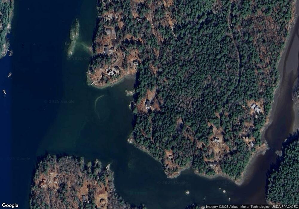
Map
Nearby Homes
- 46 Dam Cove Rd
- 10 Birch Point Rd
- 93 Abbot Cove Rd
- 88 Campbell Pond Rd
- 51 & 53 Rock Haven Dr
- 140 Clifford Rd
- 197 Main Rd
- Lot #2 Rte 209 Main Rd
- 66 High St
- 29 & 30 Nob Hill Ave
- 646 Gurnet Rd
- Lot 27 Howards Point Ln
- 0 Main Rd
- 60 Rosedale Rd
- 0 Smithfield Crossing Unit 1643601
- 260 Coombs Rd
- 47 Cluf Bay Rd
- 25 Echo Ln
- 19 Ward Cir
- 38 Ward Cir
- 45 Notta Rd
- 184/185 Quaker Point Rd
- 184 Quaker Point Rd
- 186 Quaker Point Rd
- 55 Notta Rd
- 188 Quaker Point Rd
- 185 Quaker Point Rd
- 190 Quaker Point Rd
- 106 Whistlers Cove Rd
- 173 Quaker Point Rd
- 200 Quaker Point Rd
- 202 Quaker Point Rd
- 90 Whistlers Cove Rd
- 92 Whistlers Cove Rd
- 84 Whistlers Cove Rd
- 204 Quaker Point Rd
- 11 Drift In Rd
- 161 Quaker Point Rd
- 16 Drift In Rd
- 281 Sabino Rd