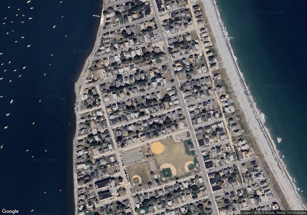
29 O St Hull, MA 02045
The Alphabets NeighborhoodEstimated Value: $657,000 - $726,000
4
Beds
2
Baths
1,752
Sq Ft
$391/Sq Ft
Est. Value
About This Home
This home is located at 29 O St, Hull, MA 02045 and is currently estimated at $684,482, approximately $390 per square foot. 29 O St is a home located in Plymouth County with nearby schools including Lillian M. Jacobs Elementary School, Memorial Middle School, and Hull High School.
Ownership History
Date
Name
Owned For
Owner Type
Purchase Details
Closed on
Dec 1, 2003
Sold by
Reardon Dennis C and Fontaine Kathleen R
Bought by
Her Sho and Her Phary S
Current Estimated Value
Purchase Details
Closed on
Feb 5, 1998
Sold by
Reardon Dennis C and Reardon Mary M
Bought by
Reardon Dennis C
Create a Home Valuation Report for This Property
The Home Valuation Report is an in-depth analysis detailing your home's value as well as a comparison with similar homes in the area
Home Values in the Area
Average Home Value in this Area
Purchase History
| Date | Buyer | Sale Price | Title Company |
|---|---|---|---|
| Her Sho | $343,000 | -- | |
| Reardon Dennis C | $12,500 | -- |
Source: Public Records
Mortgage History
| Date | Status | Borrower | Loan Amount |
|---|---|---|---|
| Open | Reardon Dennis C | $306,400 | |
| Closed | Reardon Dennis C | $50,000 |
Source: Public Records
Tax History
| Year | Tax Paid | Tax Assessment Tax Assessment Total Assessment is a certain percentage of the fair market value that is determined by local assessors to be the total taxable value of land and additions on the property. | Land | Improvement |
|---|---|---|---|---|
| 2025 | $6,324 | $564,600 | $211,900 | $352,700 |
| 2024 | $6,218 | $533,700 | $202,100 | $331,600 |
| 2023 | $6,174 | $507,300 | $195,600 | $311,700 |
| 2022 | $6,009 | $479,200 | $182,600 | $296,600 |
| 2021 | $5,785 | $456,200 | $163,000 | $293,200 |
| 2020 | $5,427 | $423,300 | $169,500 | $253,800 |
| 2019 | $5,250 | $402,300 | $156,500 | $245,800 |
| 2018 | $4,973 | $370,600 | $156,500 | $214,100 |
| 2017 | $4,866 | $354,700 | $156,500 | $198,200 |
| 2016 | $4,605 | $341,600 | $143,400 | $198,200 |
| 2015 | $4,445 | $318,900 | $120,600 | $198,300 |
| 2014 | $4,287 | $309,100 | $110,800 | $198,300 |
Source: Public Records
Map
Nearby Homes
Your Personal Tour Guide
Ask me questions while you tour the home.