29 Orchard Ln Duxbury, MA 02332
Estimated Value: $1,217,000 - $1,555,000
4
Beds
3
Baths
2,310
Sq Ft
$579/Sq Ft
Est. Value
About This Home
This home is located at 29 Orchard Ln, Duxbury, MA 02332 and is currently estimated at $1,336,791, approximately $578 per square foot. 29 Orchard Ln is a home located in Plymouth County with nearby schools including Chandler Elementary School, Alden School, and Duxbury Middle School.
Ownership History
Date
Name
Owned For
Owner Type
Purchase Details
Closed on
Nov 15, 1996
Sold by
Dame Willard H and Dame Kristin N
Bought by
Cruise Richard M and Cruise Lisa A
Current Estimated Value
Purchase Details
Closed on
May 31, 1996
Sold by
Dowling Jeffrey A and Dowling Melanie J
Bought by
Dame Willard H and Dame Kristin N
Purchase Details
Closed on
Sep 17, 1992
Sold by
Paine St Corp
Bought by
Dowling Jeffrey A and Dowling Malanie J
Create a Home Valuation Report for This Property
The Home Valuation Report is an in-depth analysis detailing your home's value as well as a comparison with similar homes in the area
Home Values in the Area
Average Home Value in this Area
Purchase History
| Date | Buyer | Sale Price | Title Company |
|---|---|---|---|
| Cruise Richard M | $314,000 | -- | |
| Dame Willard H | $287,000 | -- | |
| Dowling Jeffrey A | $234,000 | -- |
Source: Public Records
Mortgage History
| Date | Status | Borrower | Loan Amount |
|---|---|---|---|
| Open | Dowling Jeffrey A | $520,000 | |
| Closed | Dowling Jeffrey A | $525,450 | |
| Closed | Dowling Jeffrey A | $59,000 |
Source: Public Records
Tax History Compared to Growth
Tax History
| Year | Tax Paid | Tax Assessment Tax Assessment Total Assessment is a certain percentage of the fair market value that is determined by local assessors to be the total taxable value of land and additions on the property. | Land | Improvement |
|---|---|---|---|---|
| 2025 | $10,550 | $1,040,400 | $483,000 | $557,400 |
| 2024 | $10,180 | $1,011,900 | $461,600 | $550,300 |
| 2023 | $9,783 | $915,200 | $495,800 | $419,400 |
| 2022 | $8,998 | $700,800 | $316,800 | $384,000 |
| 2021 | $9,548 | $659,400 | $303,900 | $355,500 |
| 2020 | $9,205 | $627,900 | $277,200 | $350,700 |
| 2019 | $9,046 | $616,200 | $257,400 | $358,800 |
| 2018 | $8,913 | $587,900 | $243,700 | $344,200 |
| 2017 | $8,942 | $576,500 | $243,700 | $332,800 |
| 2016 | $8,804 | $566,200 | $233,400 | $332,800 |
| 2015 | $8,412 | $539,200 | $198,900 | $340,300 |
Source: Public Records
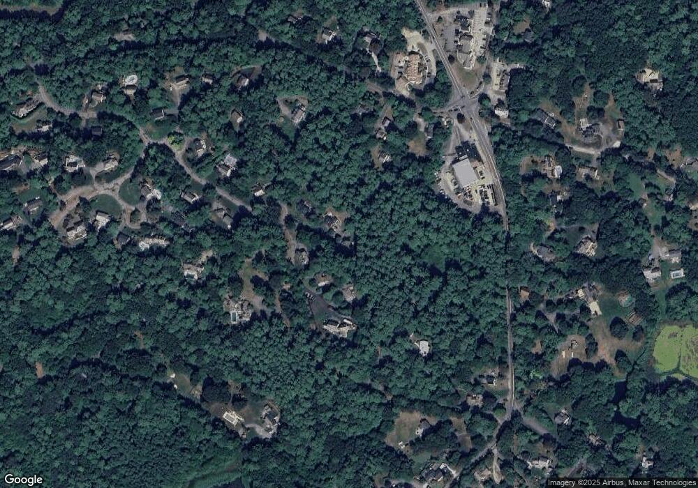
Map
Nearby Homes
- 9 S Pasture Ln
- 33 Herring Weir Rd
- 1141 Tremont St
- Two Railroad Ave Unit 9
- Two Railroad Ave Unit 1
- Two Railroad Ave Unit 8
- Two Railroad Ave Unit 2
- 62 Teakettle Ln
- 10 Hawthorn Hill
- 74 Abrams Hill Rd
- 68 Abrams Hill Rd
- 184 King Phillips Pathe
- 387 Lot 2A Old Cove Rd
- 387 Lot 3A Old Cove Rd
- 387 Lot 4A Old Cove Rd
- 56 Chapel St
- 39 Bay Pond Rd
- 431 Moraine St
- 5 Adelaide Way
- 15 Fieldstone Farm Way Unit 8