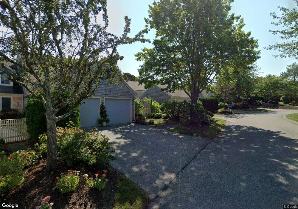
29 Pine Grove Unit H Yarmouth Port, MA 02675
Yarmouth Port NeighborhoodEstimated Value: $739,000 - $807,385
2
Beds
4
Baths
2,700
Sq Ft
$287/Sq Ft
Est. Value
About This Home
This home is located at 29 Pine Grove Unit H, Yarmouth Port, MA 02675 and is currently estimated at $773,596, approximately $286 per square foot. 29 Pine Grove Unit H is a home located in Barnstable County with nearby schools including Dennis-Yarmouth Regional High School.
Ownership History
Date
Name
Owned For
Owner Type
Purchase Details
Closed on
Jan 15, 2009
Sold by
Foran John P and Foran Pamela E
Bought by
Trl Rt
Current Estimated Value
Purchase Details
Closed on
Sep 30, 2005
Sold by
Gripshover John E and Gripshover Patricia M
Bought by
Foran John P
Purchase Details
Closed on
Oct 26, 2001
Sold by
Hargreaves Walter A and Hargreaves Kentsy A
Bought by
Gripshover John E
Home Financials for this Owner
Home Financials are based on the most recent Mortgage that was taken out on this home.
Original Mortgage
$250,000
Interest Rate
6.86%
Mortgage Type
Purchase Money Mortgage
Create a Home Valuation Report for This Property
The Home Valuation Report is an in-depth analysis detailing your home's value as well as a comparison with similar homes in the area
Home Values in the Area
Average Home Value in this Area
Purchase History
| Date | Buyer | Sale Price | Title Company |
|---|---|---|---|
| Trl Rt | $516,400 | -- | |
| Trl Rt | $516,400 | -- | |
| Foran John P | $582,000 | -- | |
| Foran John P | $582,000 | -- | |
| Gripshover John E | $380,000 | -- |
Source: Public Records
Mortgage History
| Date | Status | Borrower | Loan Amount |
|---|---|---|---|
| Previous Owner | Gripshover John E | $250,000 |
Source: Public Records
Tax History Compared to Growth
Tax History
| Year | Tax Paid | Tax Assessment Tax Assessment Total Assessment is a certain percentage of the fair market value that is determined by local assessors to be the total taxable value of land and additions on the property. | Land | Improvement |
|---|---|---|---|---|
| 2025 | $5,067 | $715,700 | $0 | $715,700 |
| 2024 | $5,229 | $708,500 | $0 | $708,500 |
| 2023 | $4,810 | $593,100 | $0 | $593,100 |
| 2022 | $4,886 | $532,200 | $0 | $532,200 |
| 2021 | $4,754 | $497,300 | $0 | $497,300 |
| 2020 | $4,799 | $479,900 | $0 | $479,900 |
| 2019 | $4,502 | $445,700 | $0 | $445,700 |
| 2018 | $4,234 | $411,500 | $0 | $411,500 |
| 2017 | $3,952 | $394,400 | $0 | $394,400 |
| 2016 | $3,765 | $377,300 | $0 | $377,300 |
| 2015 | $3,643 | $362,800 | $0 | $362,800 |
Source: Public Records
Map
Nearby Homes
- 25 Oak Glen
- 25 Oak Glen Village Unit 25
- 2 Pine Grove
- 7 Forest Gate Unit 7
- 30 W Woods Cir Unit 30
- 30 W Woods
- 43 Canterbury Rd
- 17 Kates Path Unit A
- 228 Kates Path
- 34 Kates Path
- 34 Kates Path Unit 34
- 64 Kates Path
- 86 Pompano Rd
- 50 John Hall Cartway
- 50 John Hall Cartway Unit 50
- 44 Stratford Ln
- 42 John Hall Cartway Unit 42
- 1 Barnacle Rd
- 23 Dauphine Dr
- 24 Minnetuxet Way
- 29 Pine Grove
- 27 Pine Grove
- 25 Pine Grove
- 27 Pine Grove Unit K
- 23 Pine Grove
- 21 Pine Grove
- 23 Pine Grove Unit D
- 18 Pine Reach
- 16 Pine Reach
- 14 Pine Reach
- 14 Pine Reach Unit 14
- 18 Pine Reach Unit 18
- 18 Pine Reach Unit D
- 19 Pine Grove
- 43 Pine Grove
- 17 Pine Grove
- 15 Pine Grove
- 13 Pine Grove
- 11 Pine Grove
- 9 Pine Grove