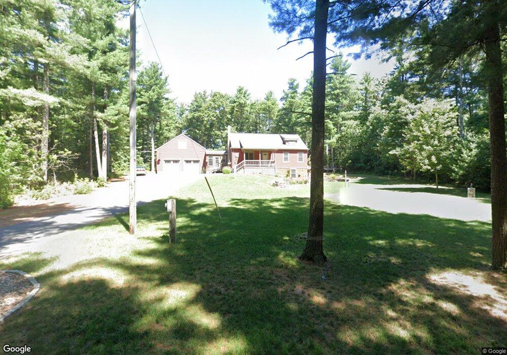
29 Pine St Middleboro, MA 02346
Estimated Value: $621,000 - $707,000
2
Beds
2
Baths
1,568
Sq Ft
$423/Sq Ft
Est. Value
About This Home
This home is located at 29 Pine St, Middleboro, MA 02346 and is currently estimated at $663,219, approximately $422 per square foot. 29 Pine St is a home located in Plymouth County with nearby schools including Mary K. Goode Elementary School.
Ownership History
Date
Name
Owned For
Owner Type
Purchase Details
Closed on
Sep 30, 2009
Sold by
Jct Rt and Butcher Catherine D
Bought by
Bean Joseph W and Bean Deborah A
Current Estimated Value
Purchase Details
Closed on
May 31, 2006
Sold by
Linden Bruce D
Bought by
Butcher Jon R and Butcher Catherine D
Purchase Details
Closed on
Jul 2, 1999
Sold by
Rite Way Rt and Thomson Joseph B
Bought by
Linden Bruce D and Farrell Julie E
Purchase Details
Closed on
Apr 16, 1999
Sold by
Sassamon Holdings Inc
Bought by
Rite Way Rt and Thomson Joseph B
Create a Home Valuation Report for This Property
The Home Valuation Report is an in-depth analysis detailing your home's value as well as a comparison with similar homes in the area
Home Values in the Area
Average Home Value in this Area
Purchase History
| Date | Buyer | Sale Price | Title Company |
|---|---|---|---|
| Bean Joseph W | $120,000 | -- | |
| Butcher Jon R | $478,000 | -- | |
| Linden Bruce D | $245,935 | -- | |
| Rite Way Rt | $60,000 | -- |
Source: Public Records
Mortgage History
| Date | Status | Borrower | Loan Amount |
|---|---|---|---|
| Open | Rite Way Rt | $162,000 | |
| Closed | Rite Way Rt | $150,000 |
Source: Public Records
Tax History
| Year | Tax Paid | Tax Assessment Tax Assessment Total Assessment is a certain percentage of the fair market value that is determined by local assessors to be the total taxable value of land and additions on the property. | Land | Improvement |
|---|---|---|---|---|
| 2025 | $7,927 | $591,100 | $172,000 | $419,100 |
| 2024 | $7,600 | $561,300 | $164,000 | $397,300 |
| 2023 | $7,285 | $511,600 | $164,000 | $347,600 |
| 2022 | $6,518 | $423,800 | $142,400 | $281,400 |
| 2021 | $6,519 | $400,700 | $124,800 | $275,900 |
| 2020 | $6,309 | $397,300 | $124,800 | $272,500 |
| 2019 | $5,677 | $366,700 | $124,800 | $241,900 |
| 2018 | $5,813 | $372,600 | $118,600 | $254,000 |
| 2017 | $5,013 | $317,900 | $114,000 | $203,900 |
| 2016 | $5,182 | $325,500 | $108,000 | $217,500 |
| 2015 | $4,734 | $300,000 | $108,000 | $192,000 |
Source: Public Records
Map
Nearby Homes
Your Personal Tour Guide
Ask me questions while you tour the home.