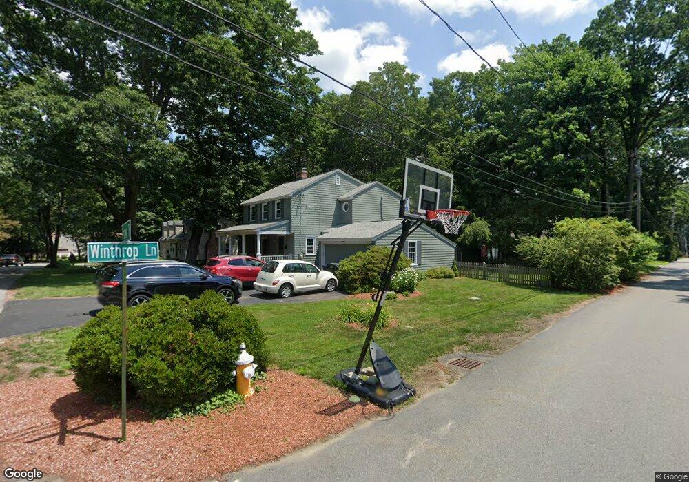
29 Pioneer Rd Holden, MA 01520
Estimated Value: $589,000 - $651,000
3
Beds
3
Baths
2,100
Sq Ft
$292/Sq Ft
Est. Value
About This Home
This home is located at 29 Pioneer Rd, Holden, MA 01520 and is currently estimated at $613,364, approximately $292 per square foot. 29 Pioneer Rd is a home located in Worcester County with nearby schools including Wachusett Regional High School and Holden Christian Academy.
Ownership History
Date
Name
Owned For
Owner Type
Purchase Details
Closed on
Oct 18, 2006
Sold by
Cartus Financial Corp
Bought by
Mcgurin Greg A and Mcgurin Nicole E
Current Estimated Value
Home Financials for this Owner
Home Financials are based on the most recent Mortgage that was taken out on this home.
Original Mortgage
$225,000
Interest Rate
6.49%
Mortgage Type
Purchase Money Mortgage
Purchase Details
Closed on
Sep 17, 1997
Sold by
Gaunt Christopher and Gaunt Kathleen M
Bought by
Thibodeau Ralph L and Thibodeau Deborah J
Purchase Details
Closed on
Apr 29, 1991
Sold by
Cellucci Jerry A and Cellucci Eileen V
Bought by
Gaunt Christopher J and Gaunt Kathleen M
Purchase Details
Closed on
Mar 11, 1988
Sold by
Nelson David E
Bought by
Cellucci Jerry A
Create a Home Valuation Report for This Property
The Home Valuation Report is an in-depth analysis detailing your home's value as well as a comparison with similar homes in the area
Home Values in the Area
Average Home Value in this Area
Purchase History
| Date | Buyer | Sale Price | Title Company |
|---|---|---|---|
| Mcgurin Greg A | $324,000 | -- | |
| Cartus Financial Corp | $324,000 | -- | |
| Thibodeau Ralph L | $134,000 | -- | |
| Gaunt Christopher J | $147,500 | -- | |
| Cellucci Jerry A | $163,000 | -- |
Source: Public Records
Mortgage History
| Date | Status | Borrower | Loan Amount |
|---|---|---|---|
| Open | Cellucci Jerry A | $218,000 | |
| Closed | Cellucci Jerry A | $222,000 | |
| Closed | Mcgurin Greg A | $225,000 |
Source: Public Records
Tax History Compared to Growth
Tax History
| Year | Tax Paid | Tax Assessment Tax Assessment Total Assessment is a certain percentage of the fair market value that is determined by local assessors to be the total taxable value of land and additions on the property. | Land | Improvement |
|---|---|---|---|---|
| 2025 | $6,866 | $495,400 | $150,000 | $345,400 |
| 2024 | $6,537 | $462,000 | $145,500 | $316,500 |
| 2023 | $6,204 | $413,900 | $126,500 | $287,400 |
| 2022 | $5,879 | $355,000 | $98,800 | $256,200 |
| 2021 | $5,705 | $327,900 | $94,100 | $233,800 |
| 2020 | $7,452 | $325,800 | $89,700 | $236,100 |
| 2019 | $7,181 | $310,200 | $89,700 | $220,500 |
| 2018 | $5,204 | $295,500 | $85,400 | $210,100 |
| 2017 | $4,999 | $284,200 | $85,400 | $198,800 |
| 2016 | $4,637 | $268,800 | $81,300 | $187,500 |
| 2015 | $4,706 | $259,700 | $81,300 | $178,400 |
| 2014 | $4,610 | $259,700 | $81,300 | $178,400 |
Source: Public Records
Map
Nearby Homes
- 16 Highland Ave
- 29 Appletree Ln
- 56 Highland Ave
- 76 Flagler Dr
- 48 Phillips Rd Unit 14
- 119 Winthrop Ln
- 9 Short St
- 141 Lovell Rd
- 28 Meadow Wood Dr
- 31 Crestview Dr
- 39 Sunnyside Ave
- 26 Avery Heights Dr
- 218 Reservoir St Unit 106
- 8 (Lot 1) Holmes Dr
- 382 Malden St
- 100 Avery Heights Dr
- 687 Bullard St
- 64 Britney Dr
- 9 Holmes Dr
- 7 Holmes Dr