29 Platts Hill Rd Newtown, CT 06470
Estimated Value: $805,843 - $978,000
4
Beds
5
Baths
3,011
Sq Ft
$302/Sq Ft
Est. Value
About This Home
This home is located at 29 Platts Hill Rd, Newtown, CT 06470 and is currently estimated at $908,461, approximately $301 per square foot. 29 Platts Hill Rd is a home located in Fairfield County with nearby schools including Middle Gate Elementary School, Reed Intermediate School, and Newtown Middle School.
Ownership History
Date
Name
Owned For
Owner Type
Purchase Details
Closed on
Sep 14, 2001
Sold by
Lippi Chris and Lippi Lori
Bought by
Morrissey James J and Morrissey Doreen L
Current Estimated Value
Home Financials for this Owner
Home Financials are based on the most recent Mortgage that was taken out on this home.
Original Mortgage
$180,000
Interest Rate
6.99%
Purchase Details
Closed on
Sep 16, 1996
Sold by
Hopkins Trevor R and Hopkins Irene V
Bought by
Lippi Chris C and Lippi Lori A
Purchase Details
Closed on
May 19, 1988
Sold by
Creative Bldrs Inc
Bought by
Hopkins Trevor
Create a Home Valuation Report for This Property
The Home Valuation Report is an in-depth analysis detailing your home's value as well as a comparison with similar homes in the area
Home Values in the Area
Average Home Value in this Area
Purchase History
| Date | Buyer | Sale Price | Title Company |
|---|---|---|---|
| Morrissey James J | $465,400 | -- | |
| Morrissey James J | $465,400 | -- | |
| Lippi Chris C | $335,000 | -- | |
| Lippi Chris C | $335,000 | -- | |
| Hopkins Trevor | $444,000 | -- |
Source: Public Records
Mortgage History
| Date | Status | Borrower | Loan Amount |
|---|---|---|---|
| Open | Hopkins Trevor | $200,000 | |
| Closed | Hopkins Trevor | $180,000 |
Source: Public Records
Tax History Compared to Growth
Tax History
| Year | Tax Paid | Tax Assessment Tax Assessment Total Assessment is a certain percentage of the fair market value that is determined by local assessors to be the total taxable value of land and additions on the property. | Land | Improvement |
|---|---|---|---|---|
| 2025 | $12,630 | $439,440 | $132,010 | $307,430 |
| 2024 | $11,852 | $439,440 | $132,010 | $307,430 |
| 2023 | $11,531 | $439,440 | $132,010 | $307,430 |
| 2022 | $10,603 | $305,830 | $87,860 | $217,970 |
| 2021 | $10,597 | $305,830 | $87,860 | $217,970 |
| 2020 | $10,631 | $305,830 | $87,860 | $217,970 |
| 2019 | $10,634 | $305,830 | $87,860 | $217,970 |
| 2018 | $10,472 | $305,830 | $87,860 | $217,970 |
| 2017 | $10,835 | $319,890 | $96,330 | $223,560 |
| 2016 | $10,748 | $319,890 | $96,330 | $223,560 |
| 2015 | $10,579 | $319,890 | $96,330 | $223,560 |
| 2014 | $10,656 | $319,890 | $96,330 | $223,560 |
Source: Public Records
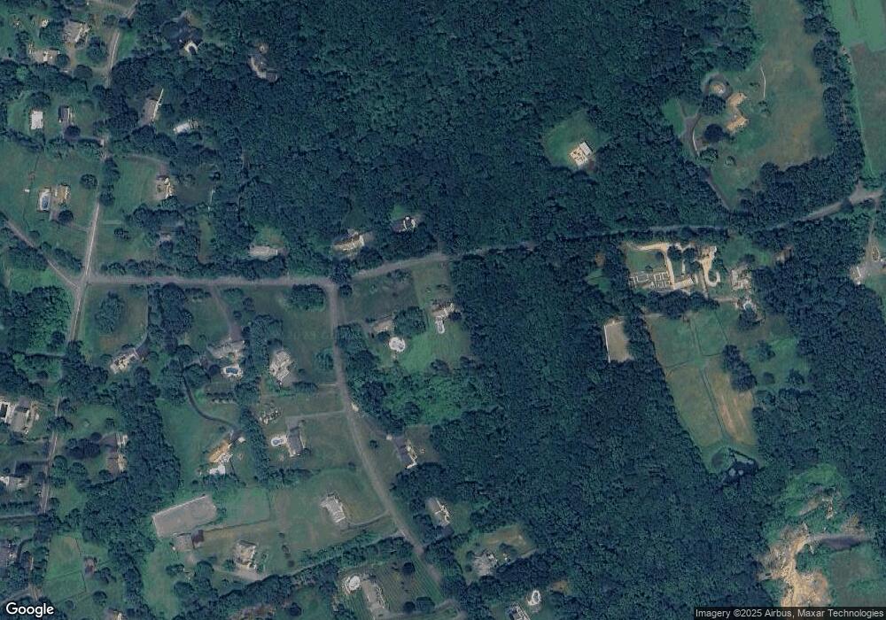
Map
Nearby Homes
- 147 Brushy Hill Rd
- 17 Hundred Acres Rd
- 26 100 Acres Rd
- 24 Pine Tree Hill Rd
- 6 Joan Dr
- 22 Palestine Rd
- 2 Winding Brook Rd
- 19 Castle Meadow Rd
- 16 Ox Hill Rd
- 1 Bari Dr
- 4 Old Gate Ln
- 10 Winton Farm Rd
- 301 S Main St Unit 29
- 13 Bear Hills Rd
- 2 Abbey Ln
- 4 Abbey Ln
- 29 Little Brook Ln
- 162 Hattertown Rd
- 52 Aunt Park Ln
- 1 Hi Barlow Rd
- 22 Platts Hill Rd
- 1 Arlyn Ridge Rd
- 26 Platts Hill Rd
- 25 Platts Hill Rd
- 3 Arlyn Ridge Rd
- 28 Platts Hill Rd
- 2 Arlyn Ridge Rd
- 7 Arlyn Ridge Rd
- 4 Arlyn Ridge Rd
- 30 Platts Hill Rd
- 6 Arlyn Ridge Rd
- 9 Arlyn Ridge Rd
- 35 Platts Hill Rd
- 21 Platts Hill Rd
- 21 Platts Hill Rd Unit 21a
- 37 Platts Hill Rd
- 10 Arlyn Ridge Rd
- 11 Arlyn Ridge Rd
- 135 Brushy Hill Rd
- 133 Brushy Hill Rd