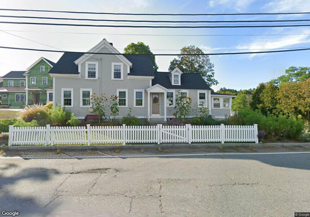
29 Pleasant St Dunstable, MA 01827
Estimated Value: $613,211 - $700,000
4
Beds
6
Baths
2,257
Sq Ft
$289/Sq Ft
Est. Value
About This Home
This home is located at 29 Pleasant St, Dunstable, MA 01827 and is currently estimated at $652,303, approximately $289 per square foot. 29 Pleasant St is a home located in Middlesex County with nearby schools including Groton Dunstable Regional High School, World Academy, and Academy of Notre Dame - Upper School.
Ownership History
Date
Name
Owned For
Owner Type
Purchase Details
Closed on
May 21, 2003
Sold by
May Frances S
Bought by
Thompson Judith
Current Estimated Value
Purchase Details
Closed on
Aug 31, 1990
Sold by
Everett W May Est
Bought by
Thompson C Leslie
Home Financials for this Owner
Home Financials are based on the most recent Mortgage that was taken out on this home.
Original Mortgage
$60,000
Interest Rate
9.85%
Mortgage Type
Purchase Money Mortgage
Create a Home Valuation Report for This Property
The Home Valuation Report is an in-depth analysis detailing your home's value as well as a comparison with similar homes in the area
Home Values in the Area
Average Home Value in this Area
Purchase History
| Date | Buyer | Sale Price | Title Company |
|---|---|---|---|
| Thompson Judith | -- | -- | |
| Thompson Judith | -- | -- | |
| Thompson C Leslie | $70,000 | -- |
Source: Public Records
Mortgage History
| Date | Status | Borrower | Loan Amount |
|---|---|---|---|
| Previous Owner | Thompson C Leslie | $60,000 |
Source: Public Records
Tax History
| Year | Tax Paid | Tax Assessment Tax Assessment Total Assessment is a certain percentage of the fair market value that is determined by local assessors to be the total taxable value of land and additions on the property. | Land | Improvement |
|---|---|---|---|---|
| 2025 | $6,850 | $498,200 | $129,700 | $368,500 |
| 2024 | $6,639 | $475,600 | $119,700 | $355,900 |
| 2023 | $6,248 | $417,400 | $119,700 | $297,700 |
| 2022 | $6,179 | $405,200 | $119,700 | $285,500 |
| 2021 | $45,655 | $353,000 | $109,800 | $243,200 |
| 2020 | $5,781 | $343,300 | $109,800 | $233,500 |
| 2019 | $5,649 | $331,100 | $109,800 | $221,300 |
| 2018 | $5,295 | $301,900 | $109,800 | $192,100 |
| 2017 | $5,055 | $297,000 | $109,800 | $187,200 |
| 2016 | $4,611 | $278,600 | $104,800 | $173,800 |
| 2015 | $4,601 | $275,000 | $87,800 | $187,200 |
| 2014 | $4,253 | $269,700 | $87,800 | $181,900 |
Source: Public Records
Map
Nearby Homes
- 319 Pleasant St
- 62 Brook St
- 0 Lowell St
- 153 Off Pond St
- 6 Green Heron Ln Unit U22
- 11 Lojko Dr
- 38 Georgetown Dr
- 141 Ridge Rd
- 1 Doucet Ave
- 77 Wilderness Dr
- 58 Wilderness Dr
- 65 Wilderness Dr
- 1 Wilderness Dr
- 2 Wilderness Dr
- 4 Wilderness Dr
- 79 Wilderness Dr
- 3 Wilderness Dr
- 20 Georgetown Dr
- 7 Wilderness Dr
- 6 Wilderness Dr
Your Personal Tour Guide
Ask me questions while you tour the home.