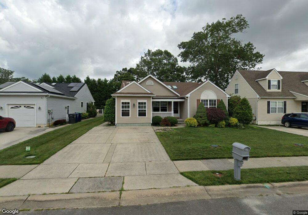
29 Putters Ln Mays Landing, NJ 08330
Estimated Value: $309,591 - $376,000
--
Bed
--
Bath
1,332
Sq Ft
$260/Sq Ft
Est. Value
About This Home
This home is located at 29 Putters Ln, Mays Landing, NJ 08330 and is currently estimated at $346,148, approximately $259 per square foot. 29 Putters Ln is a home located in Atlantic County with nearby schools including George L. Hess Educational Complex, Joseph Shaner School, and William Davies Middle School.
Ownership History
Date
Name
Owned For
Owner Type
Purchase Details
Closed on
Oct 11, 2007
Sold by
Reber Geraldine and Mello Lilliam
Bought by
Fong Stella and Fong Kong Liong
Current Estimated Value
Purchase Details
Closed on
Oct 8, 2003
Sold by
Delilah Oaks Llc
Bought by
Reber Geraldine
Create a Home Valuation Report for This Property
The Home Valuation Report is an in-depth analysis detailing your home's value as well as a comparison with similar homes in the area
Home Values in the Area
Average Home Value in this Area
Purchase History
| Date | Buyer | Sale Price | Title Company |
|---|---|---|---|
| Fong Stella | $265,000 | The Title Company Of Jersey | |
| Reber Geraldine | $156,000 | -- | |
| Delilah Oaks Llc | -- | -- | |
| Reber Geraldine | $156,000 | Congress Title Division | |
| Delilah Oaks Llc | -- | Congress Title Division |
Source: Public Records
Tax History Compared to Growth
Tax History
| Year | Tax Paid | Tax Assessment Tax Assessment Total Assessment is a certain percentage of the fair market value that is determined by local assessors to be the total taxable value of land and additions on the property. | Land | Improvement |
|---|---|---|---|---|
| 2025 | $5,191 | $151,300 | $37,800 | $113,500 |
| 2024 | $5,191 | $151,300 | $37,800 | $113,500 |
| 2023 | $4,881 | $151,300 | $37,800 | $113,500 |
| 2022 | $4,881 | $151,300 | $37,800 | $113,500 |
| 2021 | $3,930 | $151,300 | $37,800 | $113,500 |
| 2020 | $4,870 | $151,300 | $37,800 | $113,500 |
| 2019 | $4,882 | $151,300 | $37,800 | $113,500 |
| 2018 | $4,711 | $151,300 | $37,800 | $113,500 |
| 2017 | $4,637 | $151,300 | $37,800 | $113,500 |
| 2016 | $4,507 | $151,300 | $37,800 | $113,500 |
| 2015 | $4,354 | $151,300 | $37,800 | $113,500 |
| 2014 | $4,789 | $182,300 | $47,800 | $134,500 |
Source: Public Records
Map
Nearby Homes
- 7 Golf Dr
- 20 Monet Dr
- 66 Monet Dr
- 78 Oakmont Dr
- 94 Baltusrol Dr
- 26 Baltusrol Dr
- 124 Amherst Dr
- 182 Pebble Beach Dr
- 4127 Black Horse Pike
- 172 Turnberry Ct
- 156 Muirfield Ct
- 277 Greenbriar Ct
- 154 Muirfield Ct
- 165 Turnberry Ct
- 218 Burning Tree Ct
- 134 Glen Eagles Ct
- 131 Aberdeen Ct Unit 131
- 6 Esher Way
- 105 Leo Ave
- 16 Rue Chagall