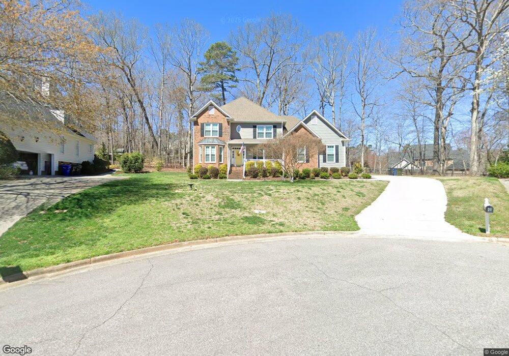
29 Quail Ridge Rd Durham, NC 27705
Croasdaile NeighborhoodEstimated Value: $656,000 - $906,000
4
Beds
4
Baths
2,797
Sq Ft
$265/Sq Ft
Est. Value
About This Home
This home is located at 29 Quail Ridge Rd, Durham, NC 27705 and is currently estimated at $740,871, approximately $264 per square foot. 29 Quail Ridge Rd is a home located in Durham County with nearby schools including Hillandale Elementary School, George L Carrington Middle, and Riverside High School.
Ownership History
Date
Name
Owned For
Owner Type
Purchase Details
Closed on
Nov 20, 1998
Sold by
Hilton Amy B R and Johnson Richard E
Bought by
Mcrae John W and Mcrae Robin M
Current Estimated Value
Home Financials for this Owner
Home Financials are based on the most recent Mortgage that was taken out on this home.
Original Mortgage
$183,000
Outstanding Balance
$39,524
Interest Rate
6.47%
Estimated Equity
$701,347
Create a Home Valuation Report for This Property
The Home Valuation Report is an in-depth analysis detailing your home's value as well as a comparison with similar homes in the area
Home Values in the Area
Average Home Value in this Area
Purchase History
| Date | Buyer | Sale Price | Title Company |
|---|---|---|---|
| Mcrae John W | $266,500 | -- |
Source: Public Records
Mortgage History
| Date | Status | Borrower | Loan Amount |
|---|---|---|---|
| Open | Mcrae John W | $183,000 |
Source: Public Records
Tax History
| Year | Tax Paid | Tax Assessment Tax Assessment Total Assessment is a certain percentage of the fair market value that is determined by local assessors to be the total taxable value of land and additions on the property. | Land | Improvement |
|---|---|---|---|---|
| 2025 | $6,764 | $682,324 | $147,000 | $535,324 |
| 2024 | $5,422 | $388,678 | $73,400 | $315,278 |
| 2023 | $5,091 | $388,678 | $73,400 | $315,278 |
| 2022 | $4,975 | $388,678 | $73,400 | $315,278 |
| 2021 | $4,951 | $388,678 | $73,400 | $315,278 |
| 2020 | $4,835 | $388,678 | $73,400 | $315,278 |
| 2019 | $4,835 | $388,678 | $73,400 | $315,278 |
| 2018 | $5,003 | $368,804 | $66,060 | $302,744 |
| 2017 | $4,966 | $368,804 | $66,060 | $302,744 |
| 2016 | $4,799 | $368,804 | $66,060 | $302,744 |
| 2015 | $4,988 | $360,346 | $70,137 | $290,209 |
| 2014 | $4,988 | $360,346 | $70,137 | $290,209 |
Source: Public Records
Map
Nearby Homes
- 3710 Dairy Pond Place
- 524 Soapstone Dr
- Collins Plan at Stonewood Estates - Legacy
- Mitchell Plan at Stonewood Estates - Landmark
- Fisher Plan at Stonewood Estates - Landmark
- Hatteras Plan at Stonewood Estates - Landmark
- Winston Plan at Stonewood Estates - Landmark
- 1011 Coldspring Cir
- 1007 Coldspring Cir
- 1005 Coldspring Cir
- 1001 Coldspring Cir
- 1003 Coldspring Cir
- 1047 Coldspring Cir
- 1217 Opal Ln
- 6 Webster Ct
- 2104 Skipping Stone Dr
- 1221 Opal Ln
- 1214 E Oak Dr
- 108 Old Mill Place
- 1229 Opal Ln
- 25 Quail Ridge Rd
- 111 Vanderbilt Ct
- 31 Quail Ridge Rd
- 107 Vanderbilt Ct
- 19 Quail Ridge Rd
- 115 Vanderbilt Ct
- 30 Quail Ridge Rd
- 1612 Springview Ln
- 103 Vanderbilt Ct
- 201 Vanderbilt Ct
- 26 Quail Ridge Rd
- 1606 Springview Ln
- 205 Vanderbilt Ct
- 1602 Springview Ln
- 106 Vanderbilt Ct
- 2104 Greenwich Place
- 102 Vanderbilt Ct
- 6 Sweetberry Cir
- 20 Quail Ridge Rd
- 209 Vanderbilt Ct
Your Personal Tour Guide
Ask me questions while you tour the home.