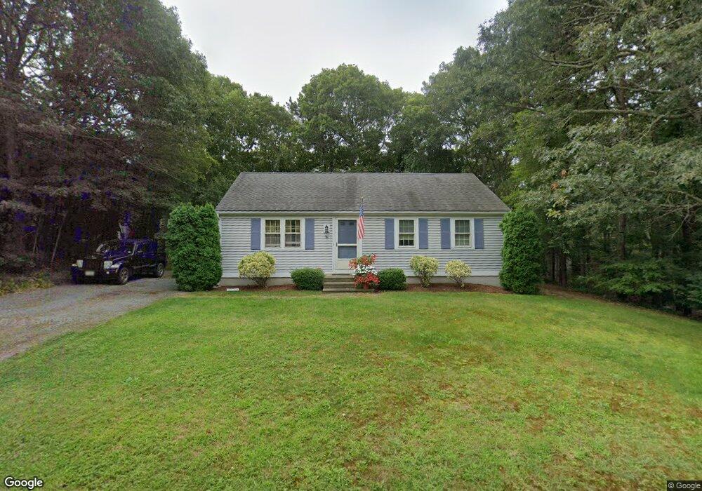
29 Rhine Rd Yarmouth Port, MA 02675
Yarmouth Port NeighborhoodEstimated Value: $424,000 - $520,000
2
Beds
1
Bath
912
Sq Ft
$505/Sq Ft
Est. Value
About This Home
This home is located at 29 Rhine Rd, Yarmouth Port, MA 02675 and is currently estimated at $460,194, approximately $504 per square foot. 29 Rhine Rd is a home located in Barnstable County with nearby schools including Dennis-Yarmouth Regional High School and St. Pius X. School.
Ownership History
Date
Name
Owned For
Owner Type
Purchase Details
Closed on
Jan 12, 2001
Sold by
Tuttle Thomas E
Bought by
Svane Ronny C
Current Estimated Value
Home Financials for this Owner
Home Financials are based on the most recent Mortgage that was taken out on this home.
Original Mortgage
$94,600
Outstanding Balance
$35,157
Interest Rate
7.64%
Mortgage Type
Purchase Money Mortgage
Estimated Equity
$425,037
Purchase Details
Closed on
Feb 1, 1991
Sold by
Dacey William E
Bought by
Tuttle Thomas E
Home Financials for this Owner
Home Financials are based on the most recent Mortgage that was taken out on this home.
Original Mortgage
$71,000
Interest Rate
9.52%
Mortgage Type
Purchase Money Mortgage
Create a Home Valuation Report for This Property
The Home Valuation Report is an in-depth analysis detailing your home's value as well as a comparison with similar homes in the area
Home Values in the Area
Average Home Value in this Area
Purchase History
| Date | Buyer | Sale Price | Title Company |
|---|---|---|---|
| Svane Ronny C | $95,410 | -- | |
| Tuttle Thomas E | $74,900 | -- |
Source: Public Records
Mortgage History
| Date | Status | Borrower | Loan Amount |
|---|---|---|---|
| Open | Tuttle Thomas E | $94,600 | |
| Previous Owner | Tuttle Thomas E | $71,000 | |
| Closed | Tuttle Thomas E | $6,087 |
Source: Public Records
Tax History Compared to Growth
Tax History
| Year | Tax Paid | Tax Assessment Tax Assessment Total Assessment is a certain percentage of the fair market value that is determined by local assessors to be the total taxable value of land and additions on the property. | Land | Improvement |
|---|---|---|---|---|
| 2025 | $2,159 | $304,900 | $88,400 | $216,500 |
| 2024 | $2,153 | $291,800 | $93,100 | $198,700 |
| 2023 | $2,139 | $263,800 | $83,000 | $180,800 |
| 2022 | $2,000 | $217,900 | $74,700 | $143,200 |
| 2021 | $1,870 | $195,600 | $74,700 | $120,900 |
| 2020 | $1,822 | $182,200 | $74,700 | $107,500 |
| 2019 | $1,678 | $166,100 | $74,700 | $91,400 |
| 2018 | $1,567 | $152,300 | $60,900 | $91,400 |
| 2017 | $1,526 | $152,300 | $60,900 | $91,400 |
| 2016 | $1,464 | $146,700 | $55,300 | $91,400 |
| 2015 | $1,367 | $136,200 | $55,300 | $80,900 |
Source: Public Records
Map
Nearby Homes
- 16 Warren Rd Unit 16
- 16 Warren Rd
- 32 Deveau Ln
- 40 Deveau Ln
- 8 Rowley Ln
- 0 Forsyth Ave
- 209 Union St
- 68 Seminole Dr
- 30 Quartermaster Row
- 14 Many Oaks Cir
- 33 Sparrow Way
- 72 Quartermaster Row
- 176 Beacon St
- 17 Trowbridge Path
- 76 Captain Chase Rd
- 50 Cottonwood St
- 882 W Yarmouth Rd
- 1 Hamblin Hill
- 105 Webbers Path
- 49 Captain Besse Rd