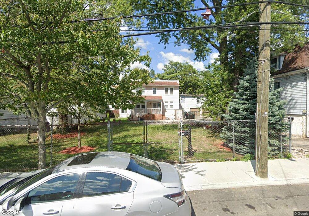
29 Robin Rd Staten Island, NY 10305
South Beach NeighborhoodEstimated Value: $605,671 - $736,000
--
Bed
4
Baths
1,152
Sq Ft
$584/Sq Ft
Est. Value
About This Home
This home is located at 29 Robin Rd, Staten Island, NY 10305 and is currently estimated at $672,918, approximately $584 per square foot. 29 Robin Rd is a home located in Richmond County with nearby schools including P.S. 39 The Francis J. Murphy Jr. School, I.S. 49 Berta A Dreyfus, and Curtis High School.
Ownership History
Date
Name
Owned For
Owner Type
Purchase Details
Closed on
May 20, 2002
Sold by
Vanmanen Stella A
Bought by
Ruggiero Vincent
Current Estimated Value
Home Financials for this Owner
Home Financials are based on the most recent Mortgage that was taken out on this home.
Original Mortgage
$229,500
Interest Rate
6.73%
Create a Home Valuation Report for This Property
The Home Valuation Report is an in-depth analysis detailing your home's value as well as a comparison with similar homes in the area
Home Values in the Area
Average Home Value in this Area
Purchase History
| Date | Buyer | Sale Price | Title Company |
|---|---|---|---|
| Ruggiero Vincent | $255,000 | -- |
Source: Public Records
Mortgage History
| Date | Status | Borrower | Loan Amount |
|---|---|---|---|
| Previous Owner | Ruggiero Vincent | $229,500 |
Source: Public Records
Tax History Compared to Growth
Tax History
| Year | Tax Paid | Tax Assessment Tax Assessment Total Assessment is a certain percentage of the fair market value that is determined by local assessors to be the total taxable value of land and additions on the property. | Land | Improvement |
|---|---|---|---|---|
| 2025 | $3,082 | $37,320 | $8,773 | $28,547 |
| 2024 | $3,186 | $33,180 | $9,309 | $23,871 |
| 2023 | $3,229 | $23,944 | $8,398 | $15,546 |
| 2022 | $3,126 | $35,160 | $12,900 | $22,260 |
| 2021 | $2,996 | $32,460 | $12,900 | $19,560 |
| 2020 | $2,802 | $28,020 | $12,900 | $15,120 |
| 2019 | $2,511 | $27,120 | $12,900 | $14,220 |
| 2018 | $2,430 | $19,953 | $11,259 | $8,694 |
| 2017 | $2,885 | $19,801 | $11,664 | $8,137 |
| 2016 | $2,217 | $18,681 | $9,362 | $9,319 |
| 2015 | $1,823 | $17,625 | $9,092 | $8,533 |
| 2014 | $1,823 | $16,628 | $8,577 | $8,051 |
Source: Public Records
Map
Nearby Homes
- 27 Robin Rd
- 79 Windom Ave
- 37 Robin Rd
- 75 Windom Ave
- 25 Robin Rd
- 102 Ocean Ave
- 108-110 Ocean Ave
- 108 Ocean Ave Unit 110
- 106 Ocean Ave
- 104 Ocean Ave
- 112 Ocean Ave
- 26 Robin Rd
- 49 Robin Rd
- 98 Ocean Ave
- 69 Windom Ave Unit 1
- 69 Windom Ave Unit 2
- 69 Windom Ave
- 26 Robin Rd Unit B
- 26 Robin Rd Unit A
- 26 Robin Rd Unit 26A