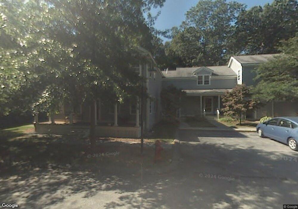
29 S Commons Unit A Lincoln, MA 01773
Estimated Value: $540,000 - $660,000
2
Beds
2
Baths
1,172
Sq Ft
$517/Sq Ft
Est. Value
About This Home
This home is located at 29 S Commons Unit A, Lincoln, MA 01773 and is currently estimated at $605,597, approximately $516 per square foot. 29 S Commons Unit A is a home located in Middlesex County with nearby schools including Lincoln-Sudbury Regional High School and Tremont School.
Ownership History
Date
Name
Owned For
Owner Type
Purchase Details
Closed on
Jun 17, 2013
Sold by
Trestman Arkady
Bought by
Chevalier Timothy W and Gruba-Chevalier Jane M
Current Estimated Value
Home Financials for this Owner
Home Financials are based on the most recent Mortgage that was taken out on this home.
Original Mortgage
$351,500
Outstanding Balance
$248,920
Interest Rate
3.39%
Mortgage Type
New Conventional
Estimated Equity
$356,677
Create a Home Valuation Report for This Property
The Home Valuation Report is an in-depth analysis detailing your home's value as well as a comparison with similar homes in the area
Home Values in the Area
Average Home Value in this Area
Purchase History
| Date | Buyer | Sale Price | Title Company |
|---|---|---|---|
| Chevalier Timothy W | $372,500 | -- | |
| Chevalier Timothy W | $372,500 | -- |
Source: Public Records
Mortgage History
| Date | Status | Borrower | Loan Amount |
|---|---|---|---|
| Open | Chevalier Timothy W | $351,500 | |
| Closed | Chevalier Timothy W | $351,500 |
Source: Public Records
Tax History
| Year | Tax Paid | Tax Assessment Tax Assessment Total Assessment is a certain percentage of the fair market value that is determined by local assessors to be the total taxable value of land and additions on the property. | Land | Improvement |
|---|---|---|---|---|
| 2025 | $67 | $520,600 | $0 | $520,600 |
| 2024 | $6,280 | $487,200 | $0 | $487,200 |
| 2023 | $6,459 | $464,000 | $0 | $464,000 |
| 2022 | $6,762 | $452,900 | $0 | $452,900 |
| 2021 | $6,529 | $420,700 | $0 | $420,700 |
| 2020 | $5,983 | $389,500 | $0 | $389,500 |
| 2019 | $5,289 | $377,000 | $0 | $377,000 |
| 2018 | $5,127 | $377,000 | $0 | $377,000 |
| 2017 | $4,828 | $352,400 | $0 | $352,400 |
| 2016 | $4,888 | $349,400 | $0 | $349,400 |
| 2015 | $4,770 | $337,100 | $0 | $337,100 |
| 2014 | $4,592 | $318,700 | $0 | $318,700 |
Source: Public Records
Map
Nearby Homes
- 29 S Commons Unit D
- 5 South Commons Unit D
- 6 Smith Hill Rd
- 16 Old Cambridge Turnpike
- 197 Wood St
- 10 Reiling Pond Rd
- 646 Cambridge Turnpike
- 89 Lexington Rd
- 84 Davison Dr
- 167 Lexington Rd N
- 23 Bedford Rd
- 9 Garland Rd
- 612 Lexington Rd
- 41 Neillian St Unit 41
- 39 Neillian St Unit 39
- 69 Page Rd
- 6 Revolutionary Rd
- 6 Parker Rd
- 7 Blue Heron Way
- 97 Hawthorne Ln
- 29 S Commons Unit C
- 29 S Commons Unit B
- 29 S Commons Unit C
- 29 A South Commons Unit 29A
- 29A S Commons Unit 29A
- 29D South Commons Unit D,29
- 29A S Commons Unit A/29
- 29A S Commons Unit 29A
- 27 S Commons
- 27 S Commons Unit R 27
- 23 South Commons Unit 23D
- 27-R South Commons Unit R,27
- 25 A South Commons Unit A,25
- 25 S Commons Unit D
- 25 S Commons Unit C
- 25 S Commons Unit B
- 25 S Commons Unit A
- 25 S Commons Unit C
- 25 S Commons Unit 25C
- 7 South Commons Unit 7L,7
Your Personal Tour Guide
Ask me questions while you tour the home.