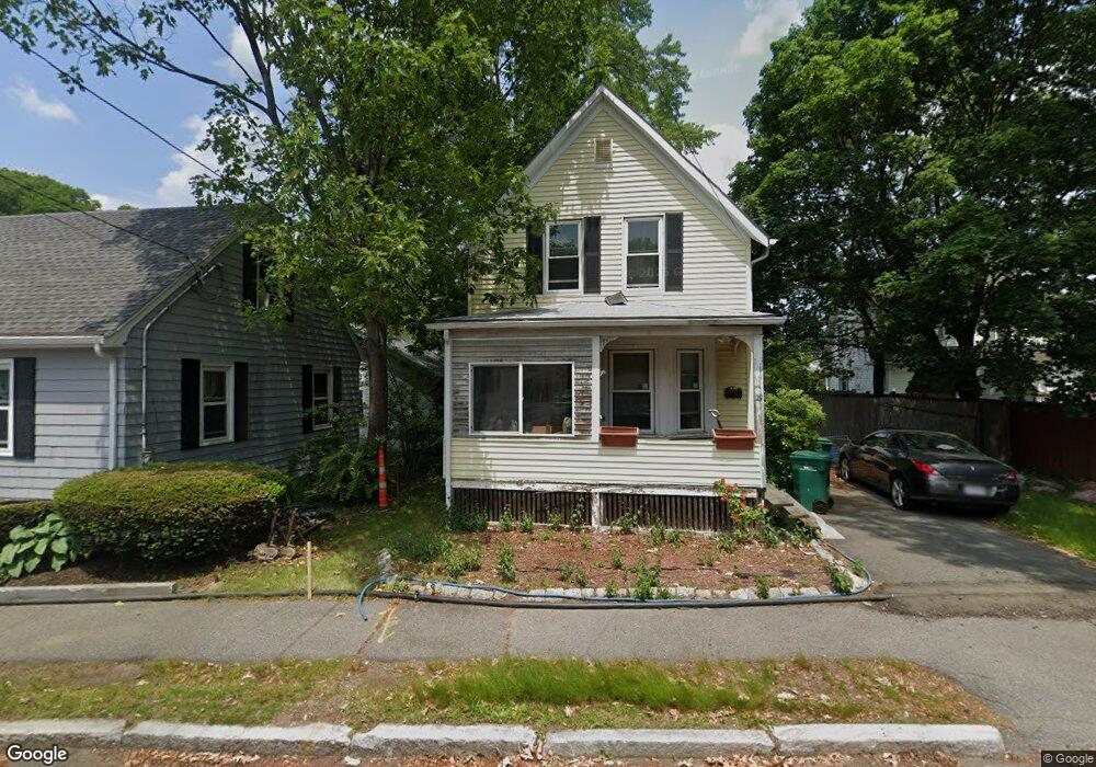
29 Saunders Rd Lynn, MA 01904
Indian Ridge NeighborhoodEstimated Value: $498,000 - $582,000
3
Beds
1
Bath
1,122
Sq Ft
$482/Sq Ft
Est. Value
About This Home
This home is located at 29 Saunders Rd, Lynn, MA 01904 and is currently estimated at $540,856, approximately $482 per square foot. 29 Saunders Rd is a home located in Essex County with nearby schools including Lynn Woods Elementary School, William R. Fallon School, and New Paths Area Learning Center.
Ownership History
Date
Name
Owned For
Owner Type
Purchase Details
Closed on
May 2, 1994
Sold by
Strzesak Elizabeth V
Bought by
Morris Neil and Morris Janet
Current Estimated Value
Home Financials for this Owner
Home Financials are based on the most recent Mortgage that was taken out on this home.
Original Mortgage
$105,802
Interest Rate
7.7%
Mortgage Type
Purchase Money Mortgage
Create a Home Valuation Report for This Property
The Home Valuation Report is an in-depth analysis detailing your home's value as well as a comparison with similar homes in the area
Home Values in the Area
Average Home Value in this Area
Purchase History
| Date | Buyer | Sale Price | Title Company |
|---|---|---|---|
| Morris Neil | $107,000 | -- | |
| Morris Neil | $107,000 | -- | |
| Morris Neil | $107,000 | -- | |
| Morris Neil | $107,000 | -- |
Source: Public Records
Mortgage History
| Date | Status | Borrower | Loan Amount |
|---|---|---|---|
| Open | Morris Neil | $100,200 | |
| Closed | Morris Neil | $105,802 |
Source: Public Records
Tax History Compared to Growth
Tax History
| Year | Tax Paid | Tax Assessment Tax Assessment Total Assessment is a certain percentage of the fair market value that is determined by local assessors to be the total taxable value of land and additions on the property. | Land | Improvement |
|---|---|---|---|---|
| 2025 | $4,698 | $453,500 | $206,300 | $247,200 |
| 2024 | $4,620 | $438,700 | $204,900 | $233,800 |
| 2023 | $4,573 | $410,100 | $204,900 | $205,200 |
| 2022 | $4,533 | $364,700 | $180,500 | $184,200 |
| 2021 | $4,253 | $326,400 | $154,300 | $172,100 |
| 2020 | $4,100 | $306,000 | $147,100 | $158,900 |
| 2019 | $4,131 | $288,900 | $139,000 | $149,900 |
| 2018 | $4,030 | $266,000 | $139,900 | $126,100 |
| 2017 | $3,900 | $250,000 | $131,300 | $118,700 |
| 2016 | $3,702 | $228,800 | $116,400 | $112,400 |
| 2015 | $3,486 | $208,100 | $109,200 | $98,900 |
Source: Public Records
Map
Nearby Homes
- 69 Saunders Rd
- 34 Glendale Ave
- 29 Rockway Rd
- 85 Range Ave
- 35 Oak Ridge Cir
- 68 Sutcliffe Rd
- 5 Sherbrook Place
- 18 Woodrow Terrace
- 12 Kernwood Dr
- 232 Lynn St
- 39 Graves Rd
- 3 Veterans Memorial Dr
- 53 Kelly Ln
- 57 Kelly Ln
- 39 Kelly Ln
- 64 Bacheller St
- 73 Lockwood Rd
- 31 Spring View Dr
- 217 Cedar Brook Rd
- 2 Anchor Rd
- 66 Bay State Rd
- 72 Bay State Rd
- 33 Saunders Rd
- 64 Bay State Rd
- 76 Bay State Rd
- 80 Bay State Rd
- 60 Bay State Rd
- 24 Saunders Rd
- 53 Bay State Rd
- 51 Bay State Rd
- 57 Bay State Rd
- 28 Saunders Rd
- 15 Saunders Rd
- 17 Saunders Rd
- 59 Bay State Rd
- 84 Bay State Rd
- 58 Bay State Rd
- 37 Saunders Rd
- 18 Saunders Rd
- 64 Glendale Ave