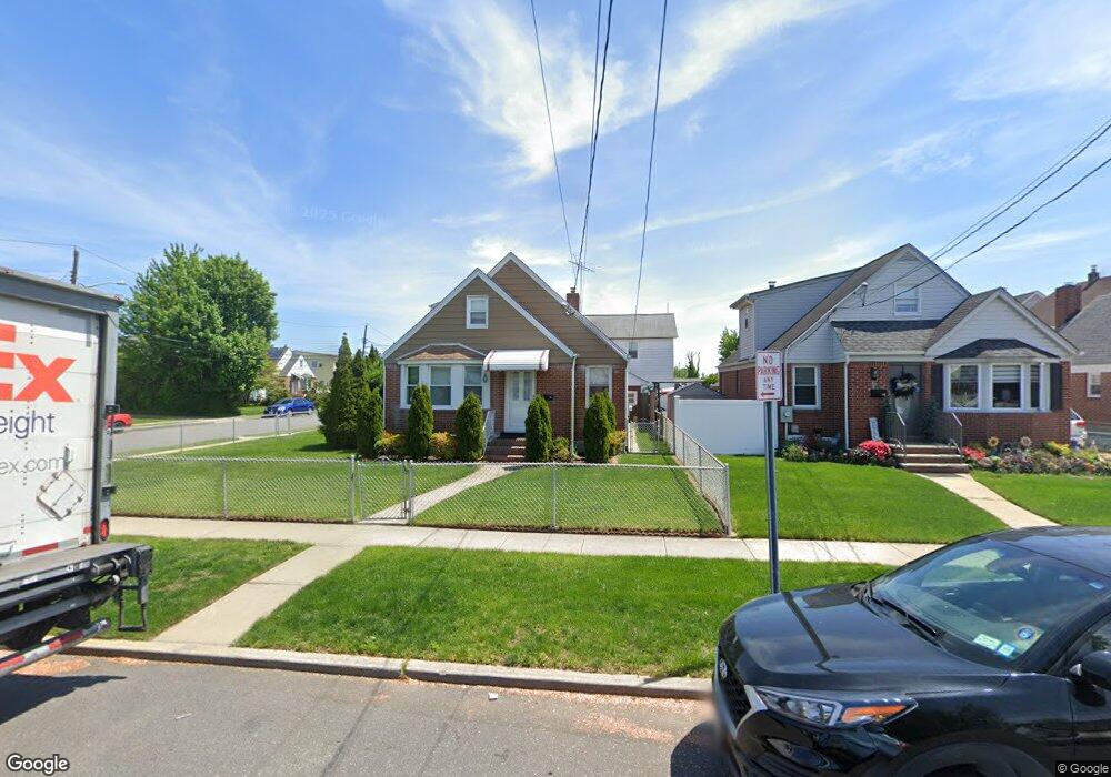
29 Semton Blvd Franklin Square, NY 11010
Estimated Value: $654,474 - $793,000
Studio
1
Bath
1,281
Sq Ft
$573/Sq Ft
Est. Value
About This Home
This home is located at 29 Semton Blvd, Franklin Square, NY 11010 and is currently estimated at $733,619, approximately $572 per square foot. 29 Semton Blvd is a home located in Nassau County with nearby schools including The Waldorf School of Garden City and Hebrew Academy of Nassau County (HANC).
Ownership History
Date
Name
Owned For
Owner Type
Purchase Details
Closed on
Jul 7, 2025
Sold by
Perich Pietro and Perich Peter
Bought by
Perich Pietro
Current Estimated Value
Home Financials for this Owner
Home Financials are based on the most recent Mortgage that was taken out on this home.
Original Mortgage
$1,170,000
Outstanding Balance
$1,169,563
Interest Rate
5.12%
Mortgage Type
Reverse Mortgage Home Equity Conversion Mortgage
Estimated Equity
-$435,944
Purchase Details
Closed on
Oct 17, 2022
Sold by
Perich Barbara and Langstrand Laura
Bought by
Perich Pietro and Perich Peter
Home Financials for this Owner
Home Financials are based on the most recent Mortgage that was taken out on this home.
Original Mortgage
$330,000
Interest Rate
6.33%
Mortgage Type
New Conventional
Create a Home Valuation Report for This Property
The Home Valuation Report is an in-depth analysis detailing your home's value as well as a comparison with similar homes in the area
Home Values in the Area
Average Home Value in this Area
Purchase History
| Date | Buyer | Sale Price | Title Company |
|---|---|---|---|
| Perich Pietro | -- | First Amer Title Ins Company | |
| Perich Pietro | $450,000 | Inter County Abstract Corp | |
| Perich Pietro | $450,000 | Inter County Abstract Corp | |
| Perich Pietro | $450,000 | Inter County Abstract Corp | |
| Perich Pietro | $450,000 | Inter County Abstract Corp |
Source: Public Records
Mortgage History
| Date | Status | Borrower | Loan Amount |
|---|---|---|---|
| Open | Perich Pietro | $1,170,000 | |
| Previous Owner | Perich Pietro | $330,000 |
Source: Public Records
Tax History
| Year | Tax Paid | Tax Assessment Tax Assessment Total Assessment is a certain percentage of the fair market value that is determined by local assessors to be the total taxable value of land and additions on the property. | Land | Improvement |
|---|---|---|---|---|
| 2025 | $10,289 | $468 | $258 | $210 |
| 2024 | $4,255 | $464 | $256 | $208 |
Source: Public Records
Map
Nearby Homes
- 128 Rule St
- 149 Rule St
- 715 Iris St
- 594 Fenworth Blvd
- 41 Goldenrod Ave
- 232 Ribbon St
- 814 Benris Ave
- 198 Guildford Ct
- 62 Poppy Ave
- 231 Dogwood Ave
- 190 Commonwealth St
- 249 Grange St
- 124 Kilburn Rd S
- 191 Euston Rd S
- 138 Lincoln Rd
- 126 Oakland Ave
- 32 Madison Ave
- 192 Brixton Rd S
- 234 Nassau Blvd
- 303 Nassau Blvd
Your Personal Tour Guide
Ask me questions while you tour the home.