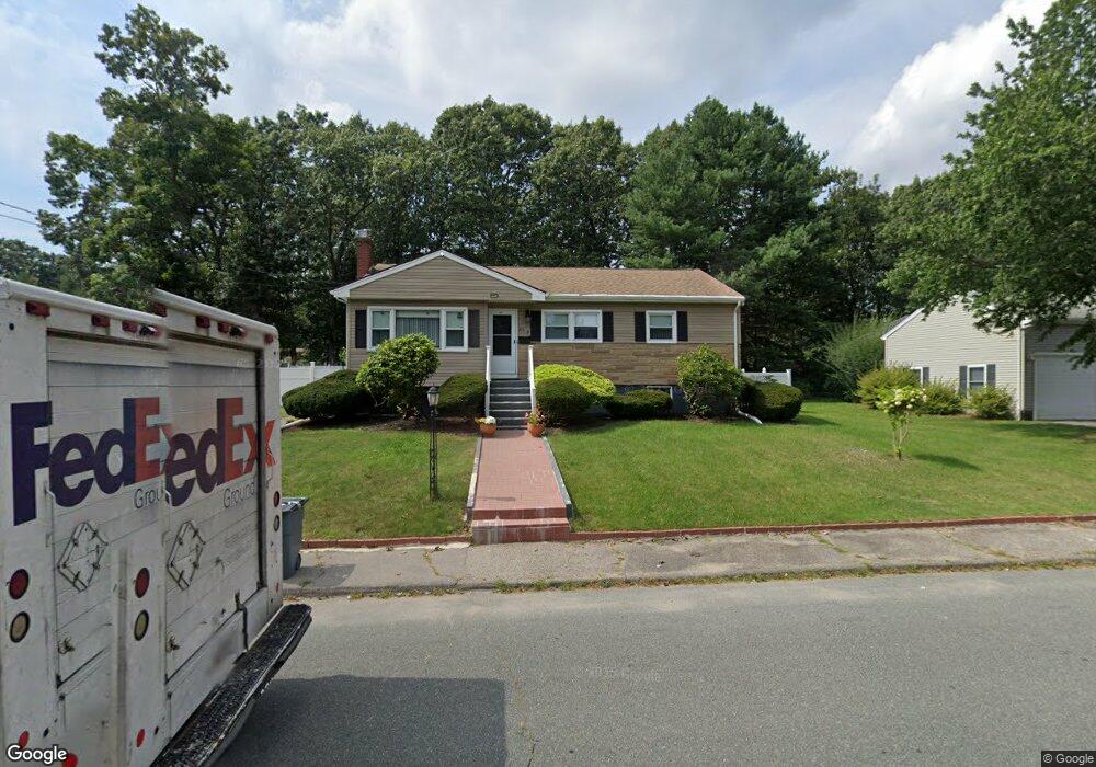
29 Smith Rd Randolph, MA 02368
North Randolph NeighborhoodEstimated Value: $576,482 - $597,000
3
Beds
2
Baths
1,232
Sq Ft
$479/Sq Ft
Est. Value
About This Home
This home is located at 29 Smith Rd, Randolph, MA 02368 and is currently estimated at $590,371, approximately $479 per square foot. 29 Smith Rd is a home located in Norfolk County with nearby schools including Randolph High School, Boston Higashi School, and Lighthouse Baptist Christian Academy.
Ownership History
Date
Name
Owned For
Owner Type
Purchase Details
Closed on
May 31, 2007
Sold by
Kassed Jacob C and Kassed Rhoda
Bought by
Cardoso Domingos and Lopes Gilda
Current Estimated Value
Home Financials for this Owner
Home Financials are based on the most recent Mortgage that was taken out on this home.
Original Mortgage
$250,250
Outstanding Balance
$153,541
Interest Rate
6.24%
Mortgage Type
Purchase Money Mortgage
Estimated Equity
$436,830
Create a Home Valuation Report for This Property
The Home Valuation Report is an in-depth analysis detailing your home's value as well as a comparison with similar homes in the area
Home Values in the Area
Average Home Value in this Area
Purchase History
| Date | Buyer | Sale Price | Title Company |
|---|---|---|---|
| Cardoso Domingos | $325,000 | -- |
Source: Public Records
Mortgage History
| Date | Status | Borrower | Loan Amount |
|---|---|---|---|
| Open | Cardoso Domingos | $250,250 | |
| Closed | Cardoso Domingos | $65,000 | |
| Closed | Cardoso Domingos | $11,344 |
Source: Public Records
Tax History Compared to Growth
Tax History
| Year | Tax Paid | Tax Assessment Tax Assessment Total Assessment is a certain percentage of the fair market value that is determined by local assessors to be the total taxable value of land and additions on the property. | Land | Improvement |
|---|---|---|---|---|
| 2025 | $6,033 | $519,600 | $253,800 | $265,800 |
| 2024 | $5,622 | $491,000 | $248,900 | $242,100 |
| 2023 | $5,440 | $450,300 | $226,300 | $224,000 |
| 2022 | $5,063 | $372,300 | $188,600 | $183,700 |
| 2021 | $4,962 | $335,700 | $157,100 | $178,600 |
| 2020 | $4,838 | $324,500 | $157,100 | $167,400 |
| 2019 | $4,642 | $309,900 | $149,700 | $160,200 |
| 2018 | $4,365 | $274,900 | $136,000 | $138,900 |
| 2017 | $4,212 | $260,300 | $129,400 | $130,900 |
| 2016 | $4,104 | $236,000 | $117,800 | $118,200 |
| 2015 | $4,101 | $226,600 | $112,100 | $114,500 |
Source: Public Records
Map
Nearby Homes
- 43 Emily Jeffers Rd
- 2 Smith Rd
- 3 Eagle Rock Rd
- 20 Simmonds Blvd Unit 20
- 18 Simmonds Blvd Unit 18
- 8 Simmonds Blvd Unit 8
- 22 Simmonds Blvd Unit 22
- 10 Simmonds Blvd Unit 10
- 24 Simmonds Blvd Unit 24
- 14 Simmonds Blvd Unit 14
- 6 Simmonds Blvd Unit 6
- 12 Simmonds Blvd Unit 12
- 153 West St
- 79 Gold St
- 591 N Main St
- 17 Mazzeo Dr
- 34 Orchard St
- 55 Silver St
- 41 West St Unit C2
- 28 Silver St