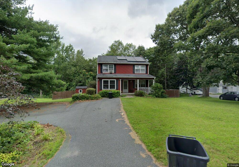
29 Snow Rd North Grafton, MA 01536
Estimated Value: $529,580 - $749,000
4
Beds
2
Baths
1,512
Sq Ft
$401/Sq Ft
Est. Value
About This Home
This home is located at 29 Snow Rd, North Grafton, MA 01536 and is currently estimated at $605,895, approximately $400 per square foot. 29 Snow Rd is a home located in Worcester County with nearby schools including Grafton High School, Silver Spruce Montessori School, and Al-Hamra Academy.
Ownership History
Date
Name
Owned For
Owner Type
Purchase Details
Closed on
Oct 6, 2011
Sold by
Mcdonald Kevin P and Mcdonald Lindsay M
Bought by
Martins Daniel A
Current Estimated Value
Home Financials for this Owner
Home Financials are based on the most recent Mortgage that was taken out on this home.
Original Mortgage
$251,793
Outstanding Balance
$171,716
Interest Rate
4.25%
Mortgage Type
FHA
Estimated Equity
$434,179
Purchase Details
Closed on
Oct 3, 2011
Sold by
Westgate Geoffrey D
Bought by
Mcdonald Kevin P and Mcdonald Lindsay M
Home Financials for this Owner
Home Financials are based on the most recent Mortgage that was taken out on this home.
Original Mortgage
$251,793
Outstanding Balance
$171,716
Interest Rate
4.25%
Mortgage Type
FHA
Estimated Equity
$434,179
Purchase Details
Closed on
Feb 25, 2005
Sold by
Westgate Geoffrey D
Bought by
Mcdonald Kevin P and Mcdonald Lindsay M
Create a Home Valuation Report for This Property
The Home Valuation Report is an in-depth analysis detailing your home's value as well as a comparison with similar homes in the area
Home Values in the Area
Average Home Value in this Area
Purchase History
| Date | Buyer | Sale Price | Title Company |
|---|---|---|---|
| Martins Daniel A | $260,000 | -- | |
| Martins Daniel A | $260,000 | -- | |
| Martins Daniel A | $260,000 | -- | |
| Mcdonald Kevin P | $310,000 | -- | |
| Mcdonald Kevin P | $310,000 | -- | |
| Mcdonald Kevin P | $310,000 | -- | |
| Mcdonald Kevin P | $310,000 | -- | |
| Mcdonald Kevin P | $310,000 | -- | |
| Mcdonald Kevin P | $310,000 | -- |
Source: Public Records
Mortgage History
| Date | Status | Borrower | Loan Amount |
|---|---|---|---|
| Open | Mcdonald Kevin P | $251,793 | |
| Closed | Mcdonald Kevin P | $251,793 | |
| Closed | Mcdonald Kevin P | $294,500 |
Source: Public Records
Tax History Compared to Growth
Tax History
| Year | Tax Paid | Tax Assessment Tax Assessment Total Assessment is a certain percentage of the fair market value that is determined by local assessors to be the total taxable value of land and additions on the property. | Land | Improvement |
|---|---|---|---|---|
| 2025 | $6,259 | $449,000 | $183,600 | $265,400 |
| 2024 | $6,129 | $428,300 | $174,800 | $253,500 |
| 2023 | $5,838 | $371,600 | $174,800 | $196,800 |
| 2022 | $5,413 | $320,700 | $150,000 | $170,700 |
| 2021 | $5,315 | $309,400 | $136,400 | $173,000 |
| 2020 | $5,067 | $307,100 | $136,400 | $170,700 |
| 2019 | $5,000 | $300,100 | $132,400 | $167,700 |
| 2018 | $4,735 | $285,400 | $131,600 | $153,800 |
| 2017 | $4,554 | $277,700 | $123,900 | $153,800 |
| 2016 | $4,037 | $241,000 | $99,500 | $141,500 |
| 2015 | $3,981 | $241,300 | $98,300 | $143,000 |
| 2014 | $3,849 | $252,200 | $116,200 | $136,000 |
Source: Public Records
Map
Nearby Homes
- 3 Abby Rd
- 1 Doris Dr
- 0 East St
- 167 Worcester St
- 17 Hingham Rd
- 9 Logan Path
- 6 Overlook St
- 23 Institute Rd
- 4 Abby Rd
- 25 Clearview St
- 16 Clearview St
- 150 North St
- 14 Northgate Ct Unit 14
- 194 Worcester St
- 66 North St
- 63 North St
- 8 Hudson Ave
- 72 Westborough Rd Unit 1
- 72 Westborough Rd Unit 2
- 156 Brigham Hill Rd