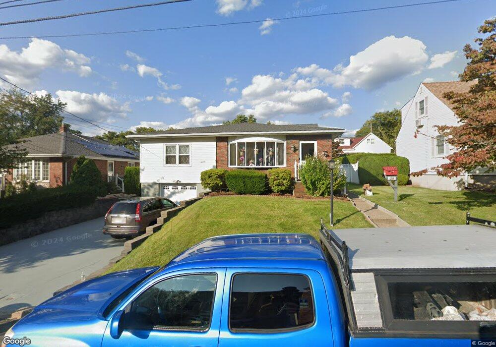
29 Springfield Ave Hasbrouck Heights, NJ 07604
Estimated Value: $682,000 - $781,000
4
Beds
3
Baths
1,672
Sq Ft
$442/Sq Ft
Est. Value
About This Home
This home is located at 29 Springfield Ave, Hasbrouck Heights, NJ 07604 and is currently estimated at $739,651, approximately $442 per square foot. 29 Springfield Ave is a home located in Bergen County with nearby schools including Hasbrouck Heights High School and Corpus Christi School.
Ownership History
Date
Name
Owned For
Owner Type
Purchase Details
Closed on
Feb 2, 2018
Sold by
Azelby John
Bought by
Rishi Ajay and Rishi Anita
Current Estimated Value
Purchase Details
Closed on
Jan 21, 2015
Sold by
Azelby John
Bought by
Azelby John
Purchase Details
Closed on
Oct 6, 2008
Sold by
Cressen Robert A and Cressen Rose R
Bought by
Cressen Debra Ann
Home Financials for this Owner
Home Financials are based on the most recent Mortgage that was taken out on this home.
Original Mortgage
$78,368
Interest Rate
5.94%
Mortgage Type
New Conventional
Create a Home Valuation Report for This Property
The Home Valuation Report is an in-depth analysis detailing your home's value as well as a comparison with similar homes in the area
Home Values in the Area
Average Home Value in this Area
Purchase History
| Date | Buyer | Sale Price | Title Company |
|---|---|---|---|
| Rishi Ajay | $405,000 | -- | |
| Azelby John | -- | Attorney | |
| Cressen Debra Ann | -- | -- |
Source: Public Records
Mortgage History
| Date | Status | Borrower | Loan Amount |
|---|---|---|---|
| Previous Owner | Cressen Debra Ann | $78,368 |
Source: Public Records
Tax History Compared to Growth
Tax History
| Year | Tax Paid | Tax Assessment Tax Assessment Total Assessment is a certain percentage of the fair market value that is determined by local assessors to be the total taxable value of land and additions on the property. | Land | Improvement |
|---|---|---|---|---|
| 2024 | $12,452 | $501,800 | $232,500 | $269,300 |
| 2023 | $12,270 | $483,200 | $222,500 | $260,700 |
| 2022 | $12,270 | $455,800 | $205,000 | $250,800 |
| 2021 | $11,909 | $421,700 | $192,500 | $229,200 |
| 2020 | $11,659 | $405,400 | $182,500 | $222,900 |
| 2019 | $11,334 | $398,400 | $180,000 | $218,400 |
| 2018 | $11,091 | $388,900 | $177,500 | $211,400 |
| 2017 | $10,907 | $381,900 | $175,000 | $206,900 |
| 2016 | $10,932 | $360,200 | $165,000 | $195,200 |
| 2015 | $10,506 | $360,200 | $165,000 | $195,200 |
| 2014 | $10,210 | $360,200 | $165,000 | $195,200 |
Source: Public Records
Map
Nearby Homes
- 38 Springfield Ave
- 116 Springfield Ave
- 42 Roosevelt Dr
- 204 Terhune Ave Unit F
- 204 F Terhune Ave Unit F
- 39 Division Ave
- 129 Eisenhower Ln Unit 2109
- 69 Wesmont Dr Unit 1809
- 110 Harrison Ave
- 109 Wesmont Dr
- 233 Passaic Ave
- 70 Wesmont Dr
- 67 Hamilton Ave
- 22 Franklin Ave
- 66 Terhune Ave Unit 13
- 191 Roosevelt Dr
- 8 Staal Ln
- 100 Woodside Ave
- 211 Harrison Ave
- 7 Staal Ln
- 25 Springfield Ave
- 35 Springfield Ave
- 19 Springfield Ave
- 39 Springfield Ave
- 26 Passaic Ave
- 34 Passaic Ave
- 22 Passaic Ave
- 15 Springfield Ave
- 30 Springfield Ave
- 45 Springfield Ave
- 34 Springfield Ave
- 26 Springfield Ave
- 42 Passaic Ave
- 24 Passaic Ave Unit Fl 2
- 24 Passaic Ave
- 14 Passaic Ave
- 20 Springfield Ave
- 46 Passaic Ave
- 49 Springfield Ave
- 42 Springfield Ave